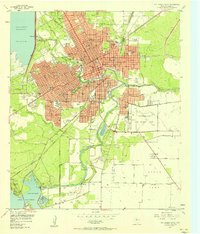
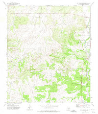
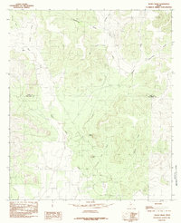
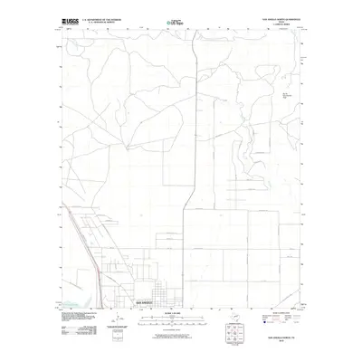
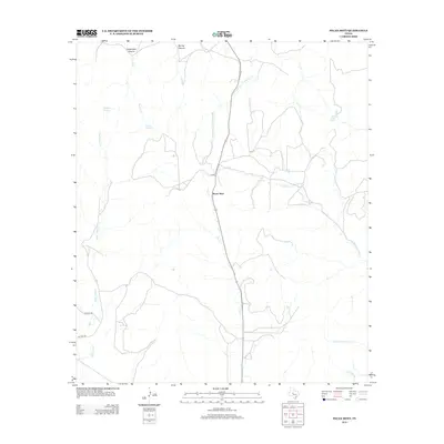
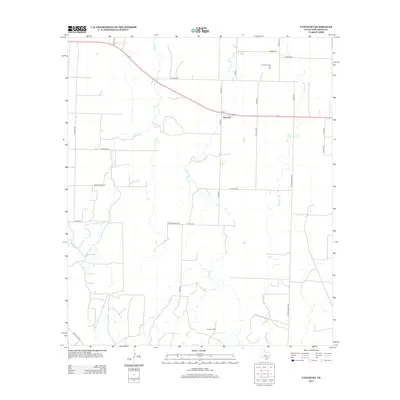
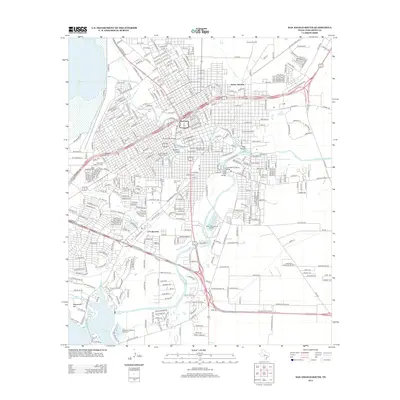
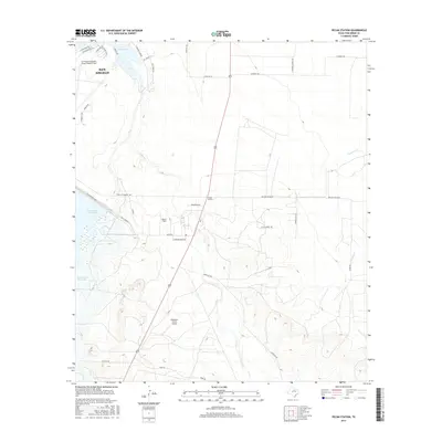
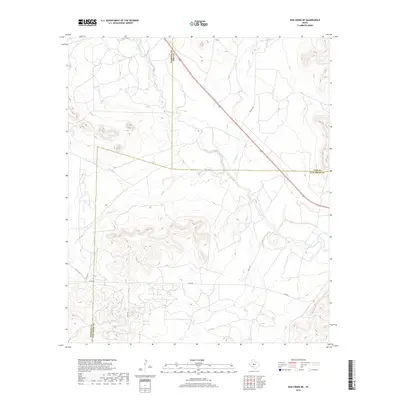
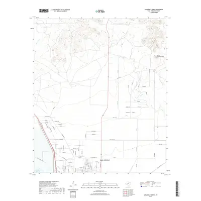
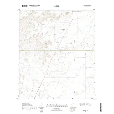
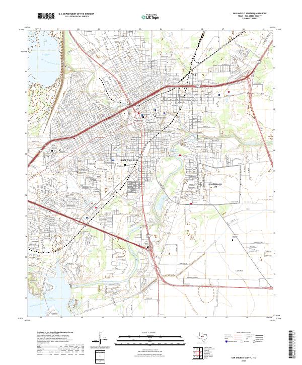
1957 Map of San Angelo South
USGS Topo · Published 1958About this map
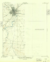
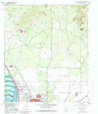
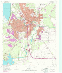
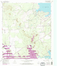
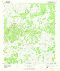
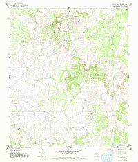
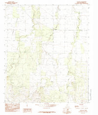
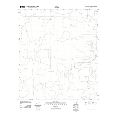
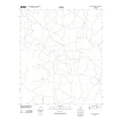
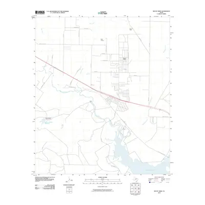
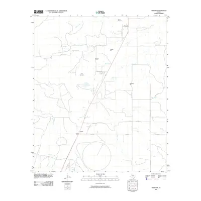
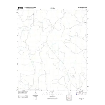
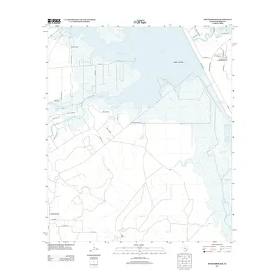
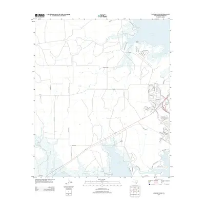
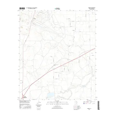
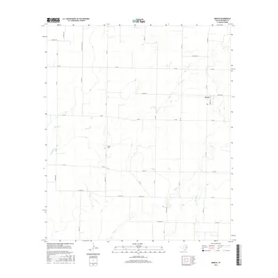
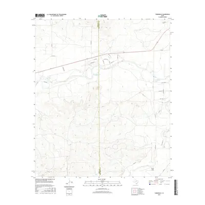
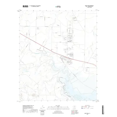
San Angelo spreads across the confluence of the North Concho River and South Concho River during a period of significant mid-century expansion. This 1957 record shows the city's transition from its frontier origins near Fort Concho Sch to a modern regional hub, anchored by the sprawling Goodfellow Air Force Base on the eastern edge. Educational and civic infrastructure is dense, with facilities ranging from San Angelo College to numerous neighborhood campuses like Stephen F Austin Sch and Lamar Sch. The landscape is defined by its water management, featuring the San Angelo Reservoir and Lake Nasworthy at the southern boundary, where the State Fish Hatchery No 2 sits near the riverbanks. To the southeast, the open terrain of Lipan Flat contrasts with the structured grid of the city's residential wards and industrial zones along the Gulf Colorado and Santa Fe railroad tracks.
Find a feature on this map
61 named features on this map. Tap any name to fly to it.
Don’t see what you’re looking for? This feature index may not catch every label — zoom into the map to look around manually.
Map Details
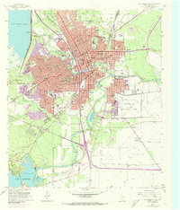
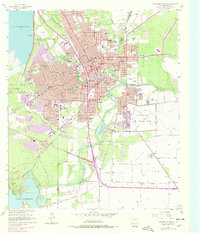
Editions of this 1957 San Angelo South Map
4 editions found
Historical Maps of San Angelo Through Time
148 maps found

1924 San Angelo 2-b
Tom Green County, TX

1924 San Angelo 2-c
Tom Green County, TX

1924 Sherwood 1-a
Tom Green County, TX

1924 Sherwood 1-d
Tom Green County, TX
1928 Tankersly
Tom Green County, TX
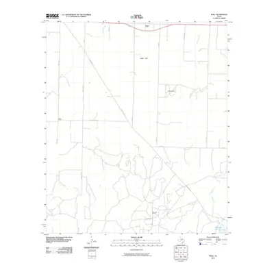
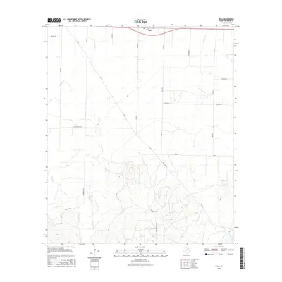
1928 Wall
Tom Green County, TX

1957 Eola
Tom Green County, TX
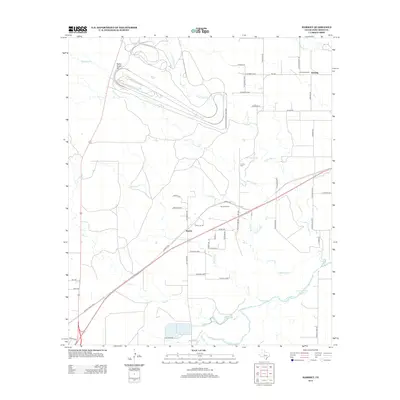
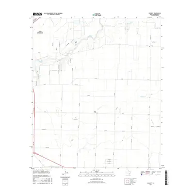
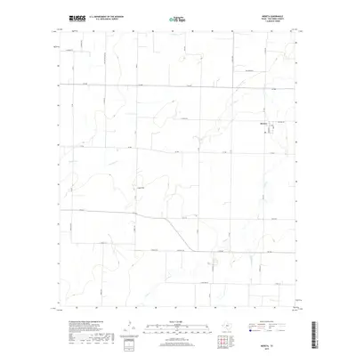
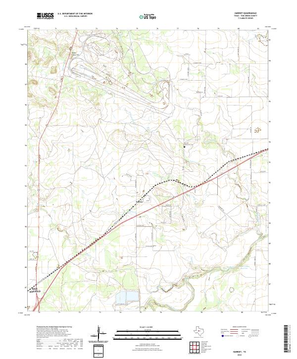
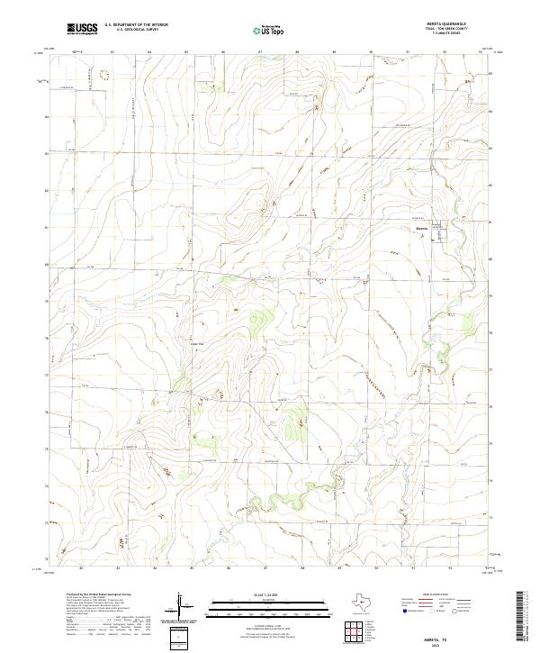
1957 Harriet
Tom Green County, TX
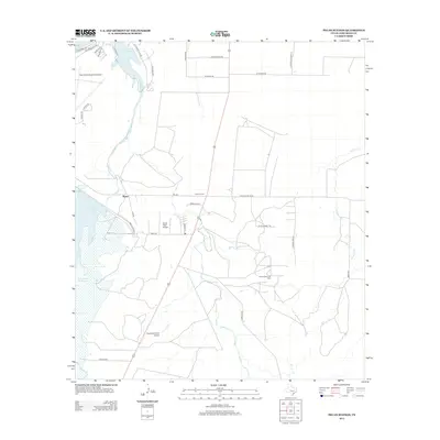
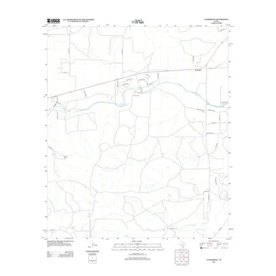
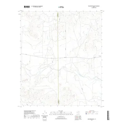
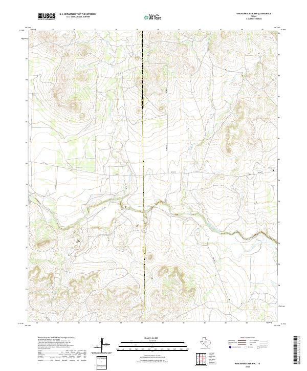
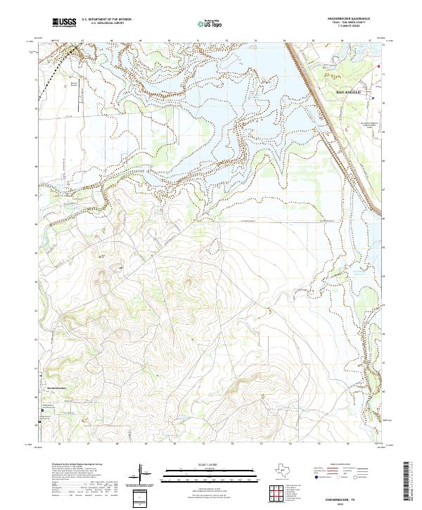
1957 Knickerbocker
Tom Green County, TX
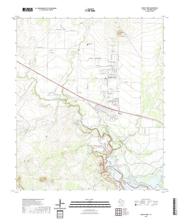
1957 Mount Nebo
Tom Green County, TX
1957 San Angelo North
Tom Green County, TX
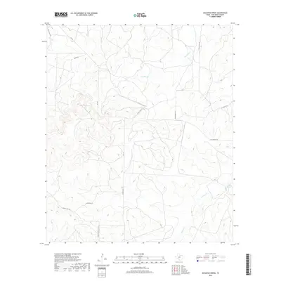
1957 San Angelo South
Tom Green County, TX
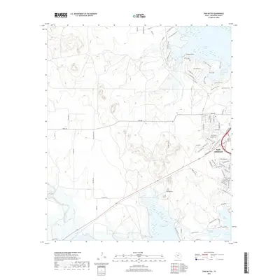
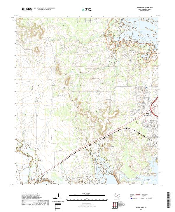
1957 Twin Buttes
Tom Green County, TX

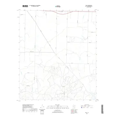
1957 Wall
Tom Green County, TX
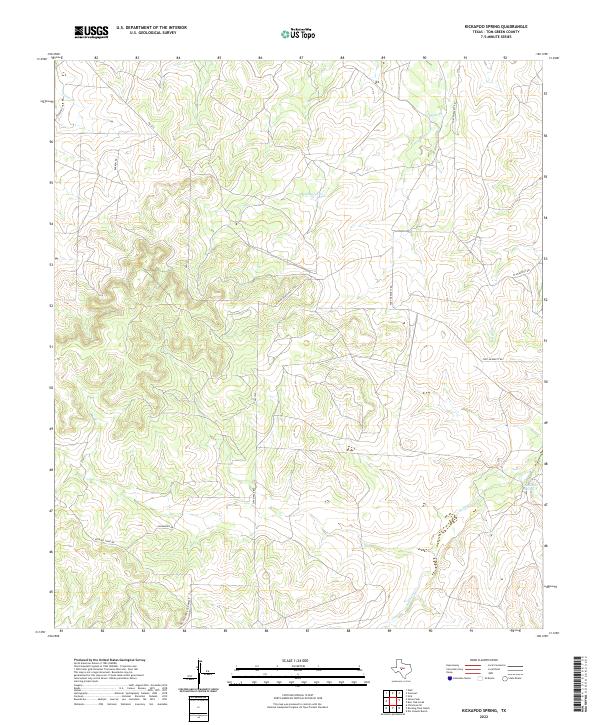
1970 Kickapoo Spring
Tom Green County, TX
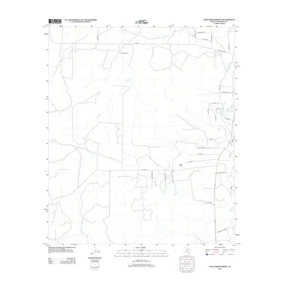
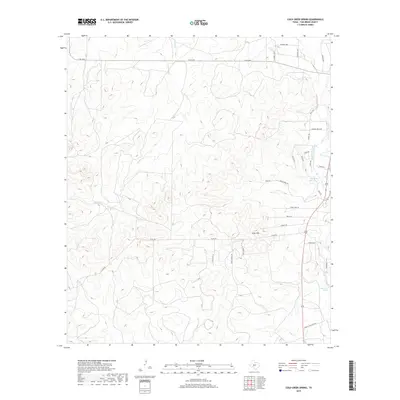
1972 Cold Creek Spring
Tom Green County, TX
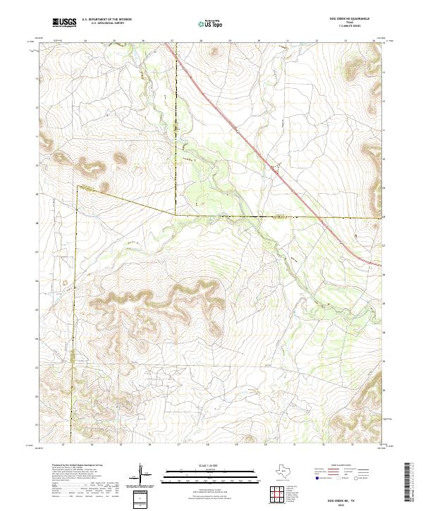
1972 Dog Creek NE
Tom Green County, TX
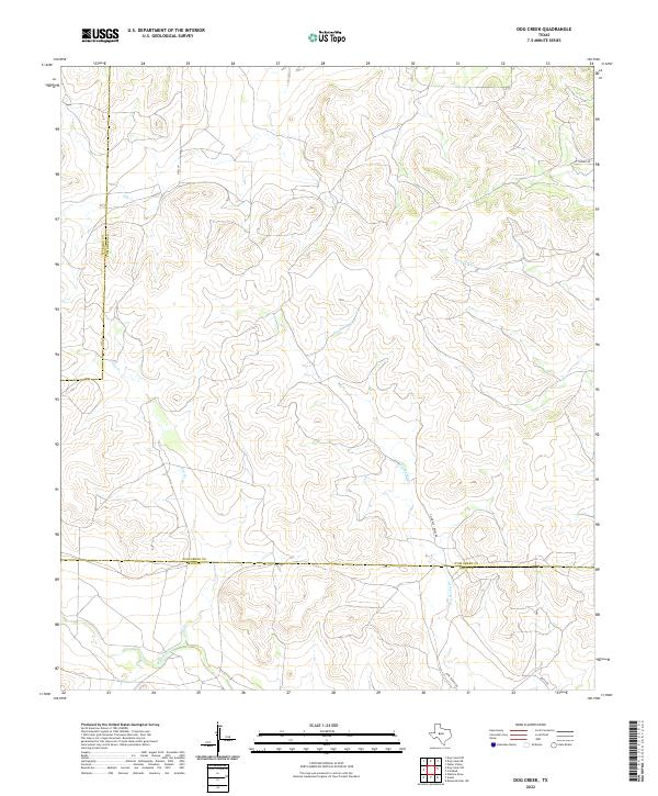
1972 Dog Creek
Tom Green County, TX
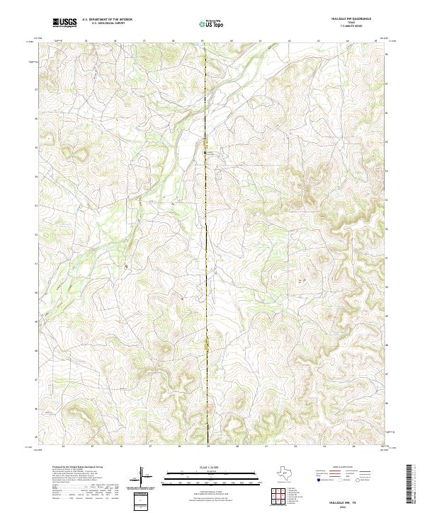
1972 Hulldale NW
Tom Green County, TX
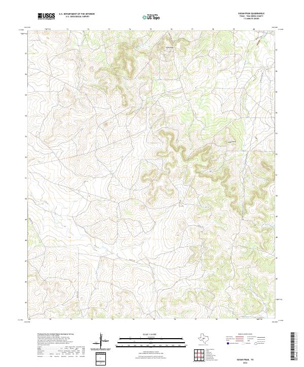
1972 Susan Peak
Tom Green County, TX
1984 Harriet
Tom Green County, TX
1984 Knickerbocker NW
Tom Green County, TX

1984 Knickerbocker
Tom Green County, TX
1984 Mereta
Tom Green County, TX
1984 Murph Draw
Tom Green County, TX
1984 Pecan Mott
Tom Green County, TX

1984 Pecan Station
Tom Green County, TX
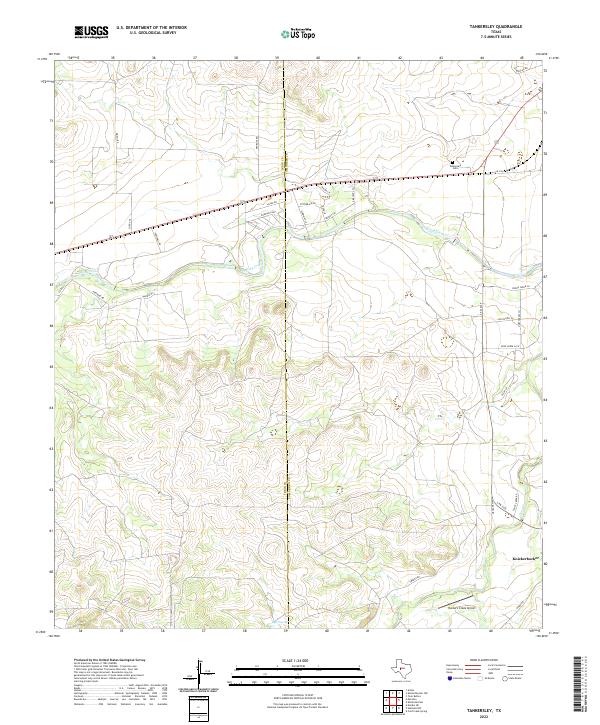
1984 Tankersley
Tom Green County, TX
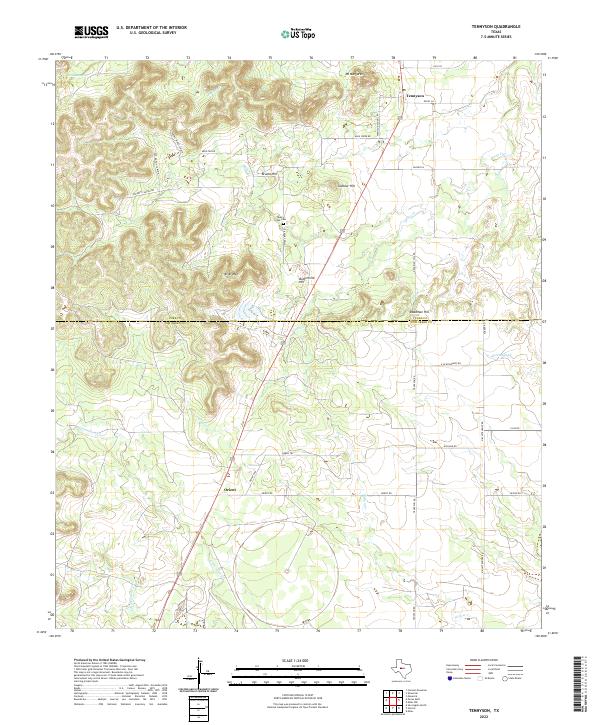
1984 Tennyson
Tom Green County, TX
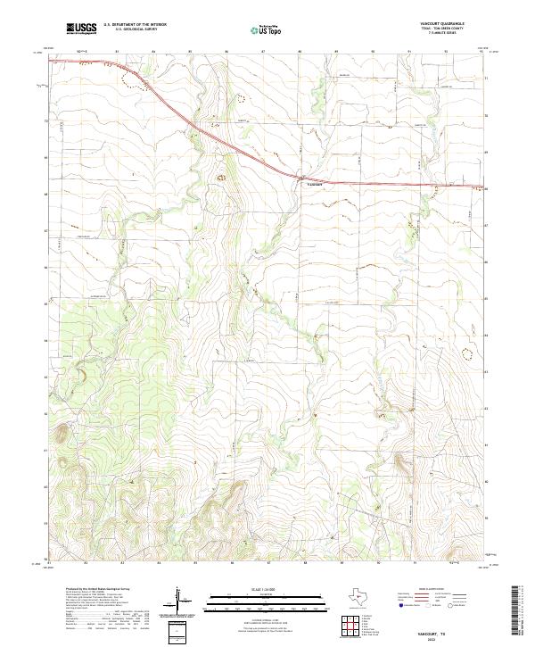
1984 Vancourt
Tom Green County, TX
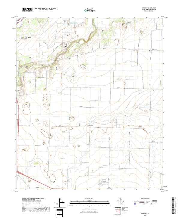
1984 Veribest
Tom Green County, TX
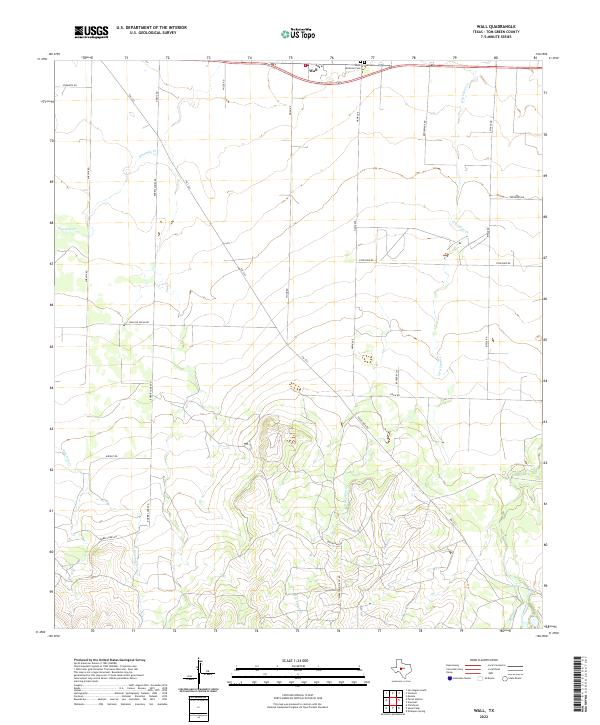
1984 Wall
Tom Green County, TX
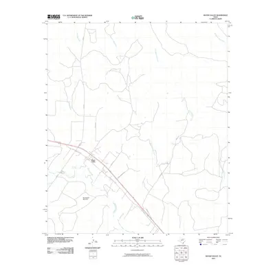
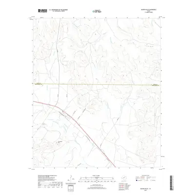
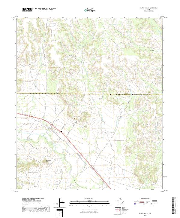
1984 Water Valley
Tom Green County, TX
2010 Cold Creek Spring
Tom Green County, TX

2010 Dog Creek NE
Tom Green County, TX
2010 Dog Creek
Tom Green County, TX
2010 Harriet
Tom Green County, TX
2010 Hulldale NW
Tom Green County, TX
2010 Kickapoo Spring
Tom Green County, TX
2010 Knickerbocker NW
Tom Green County, TX
2010 Knickerbocker
Tom Green County, TX
2010 Mereta
Tom Green County, TX
2010 Mount Nebo
Tom Green County, TX
2010 Murph Draw
Tom Green County, TX
2010 Pecan Mott
Tom Green County, TX
2010 Pecan Station
Tom Green County, TX
2010 San Angelo North
Tom Green County, TX
2010 San Angelo South
Tom Green County, TX
2010 Susan Peak
Tom Green County, TX
2010 Tankersley
Tom Green County, TX
2010 Tennyson
Tom Green County, TX
2010 Twin Buttes
Tom Green County, TX
2010 Vancourt
Tom Green County, TX
2010 Veribest
Tom Green County, TX
2010 Wall
Tom Green County, TX
2010 Water Valley
Tom Green County, TX
2012 Cold Creek Spring
Tom Green County, TX
2012 Dog Creek NE
Tom Green County, TX
2012 Dog Creek
Tom Green County, TX
2012 Hulldale NW
Tom Green County, TX
2012 Kickapoo Spring
Tom Green County, TX
2012 Knickerbocker NW
Tom Green County, TX
2012 Knickerbocker
Tom Green County, TX
2012 Mereta
Tom Green County, TX
2012 Mount Nebo
Tom Green County, TX
2012 Murph Draw
Tom Green County, TX
2012 Pecan Mott
Tom Green County, TX
2012 San Angelo North
Tom Green County, TX
2012 Susan Peak
Tom Green County, TX
2012 Tennyson
Tom Green County, TX
2012 Vancourt
Tom Green County, TX
2012 Veribest
Tom Green County, TX
2012 Wall
Tom Green County, TX
2012 Water Valley
Tom Green County, TX
2013 Harriet
Tom Green County, TX
2013 Pecan Station
Tom Green County, TX
2013 San Angelo South
Tom Green County, TX
2013 Tankersley
Tom Green County, TX
2013 Twin Buttes
Tom Green County, TX
2016 Cold Creek Spring
Tom Green County, TX
2016 Dog Creek NE
Tom Green County, TX
2016 Dog Creek
Tom Green County, TX
2016 Harriet
Tom Green County, TX
2016 Hulldale NW
Tom Green County, TX
2016 Kickapoo Spring
Tom Green County, TX

2016 Knickerbocker NW
Tom Green County, TX
2016 Knickerbocker
Tom Green County, TX
2016 Mereta
Tom Green County, TX
2016 Mount Nebo
Tom Green County, TX
2016 Murph Draw
Tom Green County, TX
2016 Pecan Mott
Tom Green County, TX
2016 Pecan Station
Tom Green County, TX
2016 San Angelo North
Tom Green County, TX
2016 San Angelo South
Tom Green County, TX
2016 Susan Peak
Tom Green County, TX
2016 Tankersley
Tom Green County, TX
2016 Tennyson
Tom Green County, TX
2016 Twin Buttes
Tom Green County, TX
2016 Vancourt
Tom Green County, TX
2016 Veribest
Tom Green County, TX
2016 Wall
Tom Green County, TX
2016 Water Valley
Tom Green County, TX
2019 Cold Creek Spring
Tom Green County, TX
2019 Dog Creek NE
Tom Green County, TX
2019 Dog Creek
Tom Green County, TX
2019 Harriet
Tom Green County, TX
2019 Hulldale NW
Tom Green County, TX
2019 Kickapoo Spring
Tom Green County, TX
2019 Knickerbocker NW
Tom Green County, TX
2019 Knickerbocker
Tom Green County, TX
2019 Mereta
Tom Green County, TX
2019 Mount Nebo
Tom Green County, TX
2019 Murph Draw
Tom Green County, TX
2019 Pecan Mott
Tom Green County, TX
2019 Pecan Station
Tom Green County, TX
2019 San Angelo North
Tom Green County, TX
2019 San Angelo South
Tom Green County, TX
2019 Susan Peak
Tom Green County, TX
2019 Tankersley
Tom Green County, TX
2019 Tennyson
Tom Green County, TX
2019 Twin Buttes
Tom Green County, TX
2019 Vancourt
Tom Green County, TX
2019 Veribest
Tom Green County, TX
2019 Wall
Tom Green County, TX
2019 Water Valley
Tom Green County, TX

2022 Cold Creek Spring
Tom Green County, TX
2022 Dog Creek NE
Tom Green County, TX
2022 Dog Creek
Tom Green County, TX
2022 Harriet
Tom Green County, TX
2022 Hulldale NW
Tom Green County, TX
2022 Kickapoo Spring
Tom Green County, TX
2022 Knickerbocker NW
Tom Green County, TX
2022 Knickerbocker
Tom Green County, TX
2022 Mereta
Tom Green County, TX
2022 Mount Nebo
Tom Green County, TX
2022 Murph Draw
Tom Green County, TX
2022 Pecan Mott
Tom Green County, TX
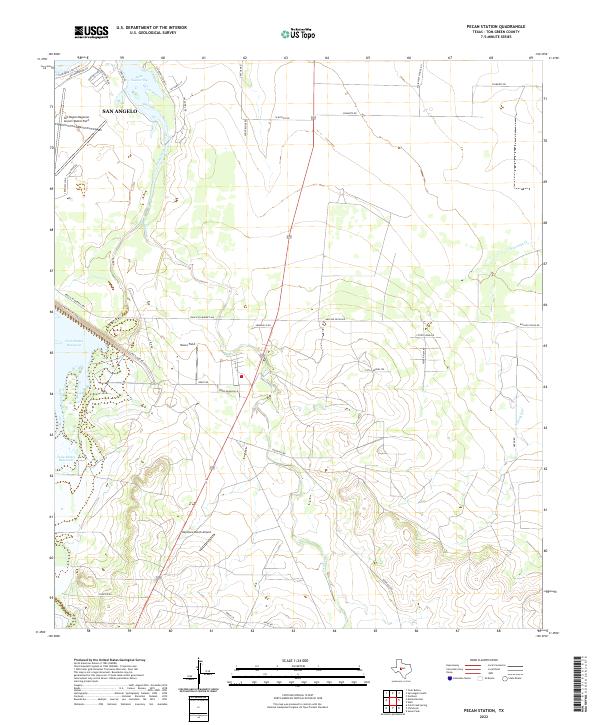
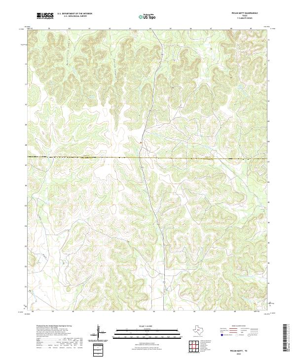
2022 Pecan Station
Tom Green County, TX
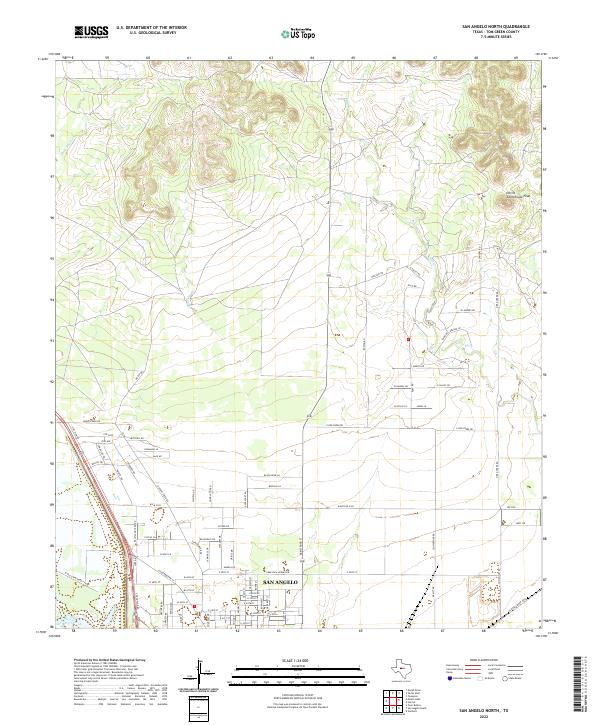
2022 San Angelo North
Tom Green County, TX
2022 San Angelo South
Tom Green County, TX
2022 Susan Peak
Tom Green County, TX
2022 Tankersley
Tom Green County, TX
2022 Tennyson
Tom Green County, TX
2022 Twin Buttes
Tom Green County, TX
2022 Vancourt
Tom Green County, TX
2022 Veribest
Tom Green County, TX
2022 Wall
Tom Green County, TX
2022 Water Valley
Tom Green County, TX