
1928 Map of Tankersly
USGS Topo · Published 1928About this map
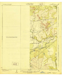
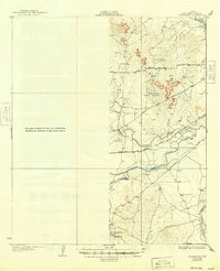
The confluence of the Middle Concho River and Spring Creek forms a critical hydrographic focal point in Tom Green County, as documented by the State of Texas Board of Water Engineers in the mid-1920s. The settlement of Knickerbocker sits in the southwest, anchoring a landscape where the river system dictates the movement of both rail and road. The survey highlights the prominent Twin Buttes rising above the plains, providing a topographical landmark for the regional transportation network. The path of the Kansas City Mexico and Orient Road cuts across the center, illustrating the importance of rail connectivity in West Texas during this era. Meanwhile, the San Angelo and Sherwood Road follows the higher ground between the drainage basins of the Dove Cr and the main river branches, revealing the historical routes that connected regional trade centers before the modern highway system was established.
Find a feature on this map
8 named features on this map. Tap any name to fly to it.
Don’t see what you’re looking for? This feature index may not catch every label — zoom into the map to look around manually.
Map Details
Editions of this 1928 Tankersly Map
3 editions found
Other maps of this area

1891 · Hayrick
USGS Topo · 1:125,000

1892 · San Angelo
USGS Topo · 1:125,000

1894 · Hayrick
USGS Topo · 1:125,000

1895 · Sherwood
USGS Topo · 1:125,000

1924 · San Angelo 2-c
USGS Topo · 1:48,000

1924 · Sherwood 1-d
USGS Topo · 1:48,000

1924 · San Angelo 2-b
USGS Topo · 1:48,000

1924 · Sherwood 1-a
USGS Topo · 1:48,000

1928 · Wall
USGS Topo · 1:62,500

1954 · San Angelo
USGS Topo · 1:250,000