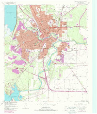
1957 Map of San Angelo South
USGS Topo · Published 1978About this map
San Angelo serves as a major hub for West Texas commerce and military activity, situated where the North Concho River and Concho River meet. The eastern portion of the city is dominated by the sprawl of Goodfellow Air Force Base, while the southern reaches show the development of public infrastructure like Lake Nasworthy and the State Fish Hatchery No 2. This survey reflects a period of significant mid-century growth, as evidenced by numerous educational institutions such as San Angelo College and the Thomas A Edison Jr High Sch.
Find a feature on this map
64 named features on this map. Tap any name to fly to it.
Don’t see what you’re looking for? This feature index may not catch every label — zoom into the map to look around manually.
Map Details
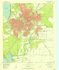
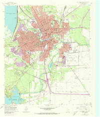
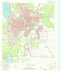
Editions of this 1957 San Angelo South Map
4 editions found
Other maps of this area

1891 · Hayrick
USGS Topo · 1:125,000

1892 · San Angelo
USGS Topo · 1:125,000

1894 · Hayrick
USGS Topo · 1:125,000

1895 · Sherwood
USGS Topo · 1:125,000

1924 · San Angelo 2-c
USGS Topo · 1:48,000

1924 · Sherwood 1-d
USGS Topo · 1:48,000

1924 · San Angelo 2-b
USGS Topo · 1:48,000

1924 · Sherwood 1-a
USGS Topo · 1:48,000

1928 · Wall
USGS Topo · 1:62,500

1928 · Tankersly
USGS Topo · 1:62,500