
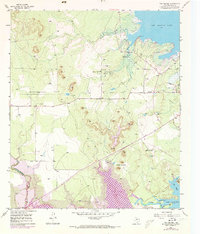
1957 Map of Twin Buttes
USGS Topo · Published 1958About this map
The Pulliam Oil Field defines much of the industrial activity in this West Texas landscape during the late 1950s, dotted with oil wells and tanks near the prominent Pulliam Pt. This era captures the hydrologic transition of the region, where the Middle Concho River flows toward the extensive San Angelo Reservoir and Lake Nasworthy. The presence of the Panhandle and Santa Fe railroad line running parallel to the river systems illustrates the critical link between resource extraction and transportation. Local landmarks such as the Chapel-on-the-Hill and the distinctive Twin Buttes provide essential orientation points for those studying the mid-century development of Tom Green County. Further south, features like Red Slough and Red Bluff Slough mark the natural drainage patterns into the local lakes, while the Arden Road serves as a primary artery through the rolling terrain.
Find a feature on this map
18 named features on this map. Tap any name to fly to it.
Don’t see what you’re looking for? This feature index may not catch every label — zoom into the map to look around manually.
Map Details
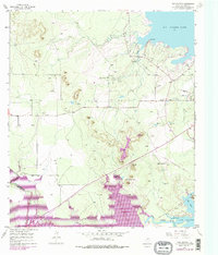
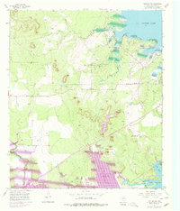
Editions of this 1957 Twin Buttes Map
4 editions found
Other maps of this area

1891 · Hayrick
USGS Topo · 1:125,000

1892 · San Angelo
USGS Topo · 1:125,000

1894 · Hayrick
USGS Topo · 1:125,000

1895 · Sherwood
USGS Topo · 1:125,000

1924 · San Angelo 2-c
USGS Topo · 1:48,000

1924 · Sherwood 1-d
USGS Topo · 1:48,000

1924 · San Angelo 2-b
USGS Topo · 1:48,000

1924 · Sherwood 1-a
USGS Topo · 1:48,000

1928 · Wall
USGS Topo · 1:62,500

1928 · Tankersly
USGS Topo · 1:62,500