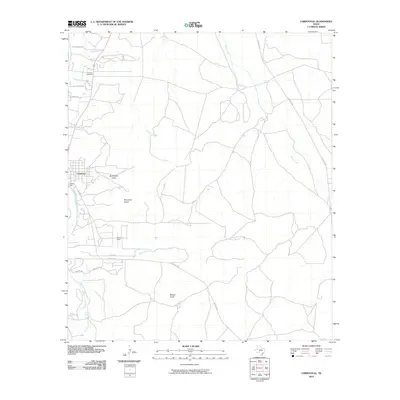
2010 Map of Christoval
USGS Topo · Published 2010About this map
Christoval anchors the western edge of this landscape, situated along the South Concho River where the water is managed by Jones Dam and fed by Anson Spring. This 2010 topographic record captures a transition from the riparian environment of the river valley to the higher limestone plateaus characteristic of this region in Tom Green County. To the south and east, the terrain is marked by distinctive elevations like Mountain Susan and Brushy Knob, while the northern reaches include the DeLong Cemetery and several established rural routes.
Find a feature on this map
24 named features on this map. Tap any name to fly to it.
Don’t see what you’re looking for? This feature index may not catch every label — zoom into the map to look around manually.
Map Details
Editions of this 2010 Christoval Map
This is the sole edition of this map. No revisions or reprints were ever made.
Other maps of this area

1892 · San Angelo
USGS Topo · 1:125,000

1895 · Sherwood
USGS Topo · 1:125,000

1924 · San Angelo 2-c
USGS Topo · 1:48,000

1924 · Sherwood 1-d
USGS Topo · 1:48,000

1928 · Wall
USGS Topo · 1:62,500

1928 · Tankersly
USGS Topo · 1:62,500

1954 · San Angelo
USGS Topo · 1:250,000

1957 · Knickerbocker
USGS Topo · 1:62,500

1957 · Wall
USGS Topo · 1:62,500

1958 · San Angelo
USGS Topo · 1:250,000