Old Maps of Water Valley, Texas for Academic Research
Study the evolution of Water Valley with 11 high-resolution historic maps. Whether you're teaching, researching, or modeling changes in land use, these maps provide essential visual documentation of urban, environmental, and geographic change.
- Analyze long-term change: Track patterns in development, transportation, and natural features.
- Ideal for environmental or urban studies: Support academic projects with primary historical map data.
- Use in the classroom or lab: Educators and researchers rely on these maps to bring historical context to life.
These maps are a powerful tool for teaching, research, and visualizing how Water Valley has changed over the decades.
Water Valley, TX maps
(11)- 1954 Map of San Angelo, 1967 Print
 1954 San Angelo1967 Print · USGSThe Concho Valley and eastern Permian Basin transition from ranching to a burgeoning oil economy during the mid-twentieth century. Trace the expansion of San Angelo near Goodfellow AFB and locate old crossroads like Stiles, Texon, and Barnhart along the SANTA FE railroad.2 unique versions available
 - 1957 Map of Carlsbad, 1958 Print
 1957 Carlsbad1958 Print · USGSTom Green County ranching and rail infrastructure are on full display in the late fifties as the San Angelo Reservoir takes shape. Genealogists can locate family landmarks like the McKnight State Sanatorium, Grape Creek Cem, and Turner Ranch Headquarters.2 unique versions available
 - 1958 Map of San Angelo
 1958 San Angelo1958 Print · USGSWest Texas in the late fifties centers on the growing hub of San Angelo and its vital river confluences. Genealogists and historians can trace the paths of the Santa Fe railroad to outposts like Fort Chadbourne, Big Lake, and the specialized community of Sanatorium.
 - 1965 Map of San Angelo
 1965 San Angelo1965 Print · USGSWest Texas in the mid-sixties reveals a landscape shaped by the petroleum industry and strategic water management. Genealogists and historians can trace the rail corridor through Texon and Big Lake, or locate military landmarks like Goodfellow AFB and Broome Air Force Auxiliary Airfield.
 - 1984 Map of Water Valley
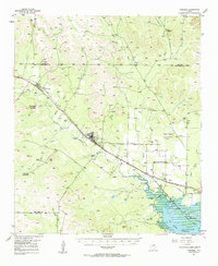
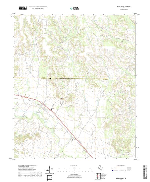
 1984 Water Valley1984 Print · USGSNorth Concho River ranchlands are captured here in the mid-1980s as they bridge the Tom Green and Coke County line. Local historians can trace the settlement at Water Valley, search for family roots at the Cem, and locate landmarks like Mc Laughlin Mountain.
 - 1986 Map of Robert Lee
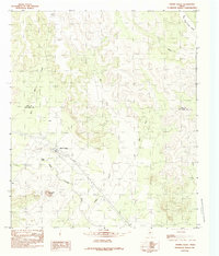
 1986 Robert Lee1986 Print · USGSWest Texas ranching and oil country come into focus in the mid-eighties as the E V Spence Reservoir reshapes the landscape near Robert Lee. Researchers can trace the path of the Atchison Topeka and Santa Fe railroad through Rowena or locate the historic Fort Chadbourne.2 unique versions available
 - 2010 Map of Water Valley, 2010 Print
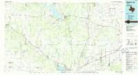
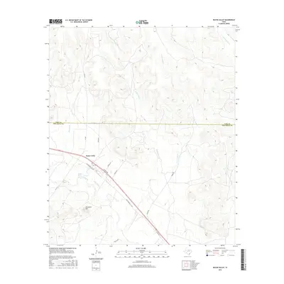
 2010 Water Valley2010 Print · USGSCovers Water Valley, including Tom Green County, Coke County, and other nearby areas
 - 2012 Map of Water Valley, 2012 Print
 2012 Water Valley2012 Print · USGSCovers Water Valley, including Tom Green County, Coke County, and other nearby areas
 - 2016 Map of Water Valley, 2016 Print
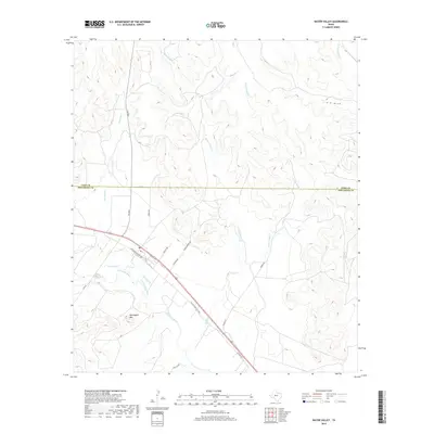
 2016 Water Valley2016 Print · USGSCovers Water Valley, including Tom Green County, Coke County, and other nearby areas
 - 2019 Map of Water Valley, 2019 Print
 2019 Water Valley2019 Print · USGSCovers Water Valley, including Tom Green County, Coke County, and other nearby areas
 - 2022 Map of Water Valley, 2022 Print
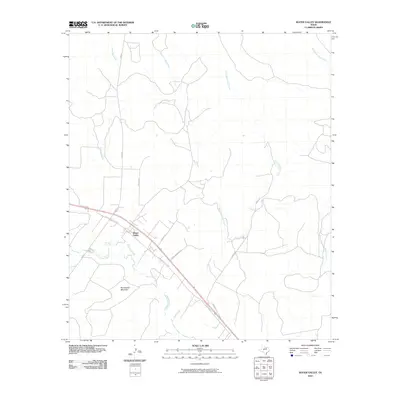
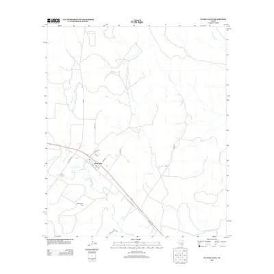
 2022 Water Valley2022 Print · USGSNear the border of Tom Green and Coke counties in the early 2020s, this area reflects the enduring ranching landscape of West Texas. Researchers can trace historic family landmarks such as the Water Valley Cem, Ranger Spring, and the topographic rise of McLaughlin Mtn.
End of results
Showing maps 1-11 of 11
Top cities near Water Valley
Frequently asked questions
- What are the different types of historical maps available for Water Valley?
- What is the oldest map of Water Valley?
- Where can I purchase historical maps of Water Valley for my home or office?
- Where can I download high-res historical maps of Water Valley?
- Are there historical topographic maps available for Water Valley?
- Is there historical aerial imagery available for Water Valley?
- Where are historical maps of Water Valley sourced from?