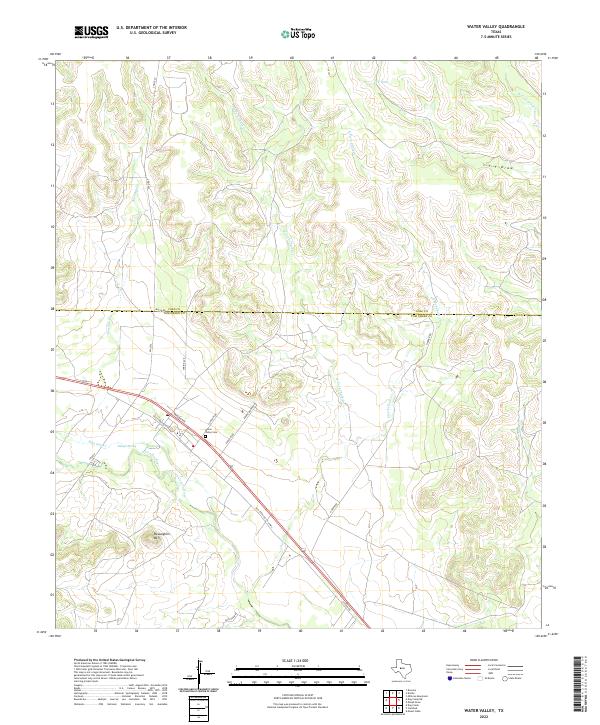
2022 Map of Water Valley
USGS Topo · Published 2022About this map
The North Concho River and its primary tributary, Concho River, carve a distinct path through this central Texas landscape, which is marked by the transition from river bottomlands to higher relief features like McLaughlin Mtn. Human settlement is concentrated along the Old Sterling City Hwy corridor, where the historic Water Valley Cem serves as a significant landmark for genealogists and local historians. The surrounding terrain is defined by a complex network of seasonal drainages, including the eastern and western forks of Chalk Cr and the waters of Ranger Spring. This 2022 survey illustrates the enduring rural character of the Tom Green and Coke County line, showing a landscape still dominated by traditional ranch roads like Harper Rd and Gaston Rd that follow the natural contours of the West Texas breaks.
Find a feature on this map
25 named features on this map. Tap any name to fly to it.
Don’t see what you’re looking for? This feature index may not catch every label — zoom into the map to look around manually.
Map Details
Editions of this 2022 Water Valley Map
This is the sole edition of this map. No revisions or reprints were ever made.
Other maps of this area

1954 · San Angelo
USGS Topo · 1:250,000

1957 · Carlsbad
USGS Topo · 1:62,500

1957 · Mount Nebo
USGS Topo · 1:24,000

1958 · San Angelo
USGS Topo · 1:250,000
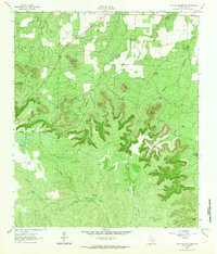
1962 · Millican Mountains
USGS Topo · 1:24,000

1965 · San Angelo
USGS Topo · 1:250,000

1972 · Dog Creek NE
USGS Topo · 1:24,000

1972 · Broome
USGS Topo · 1:24,000
1972 · Dog Creek
USGS Topo · 1:24,000
1972 · Divide
USGS Topo · 1:24,000