
1972 Map of Dog Creek NE
USGS Topo · Published 1974About this map
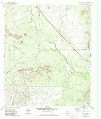
The North Concho River carves a winding path through the heart of this landscape, marking a significant hydrological boundary at the intersection of Tom Green, Coke, and Sterling Counties. In the early 1970s, the region was defined by its dual identity as a river valley and a productive energy basin. The presence of numerous Oil Wells and organized extraction zones like the Clark Oil Field and the Water Valley Oil Field suggests a rural economy heavily dependent on the Permian Basin's subterranean resources.
Find a feature on this map
17 named features on this map. Tap any name to fly to it.
Don’t see what you’re looking for? This feature index may not catch every label — zoom into the map to look around manually.
Map Details
Editions of this 1972 Dog Creek NE Map
2 editions found
Other maps of this area

1954 · San Angelo
USGS Topo · 1:250,000

1957 · Carlsbad
USGS Topo · 1:62,500

1958 · San Angelo
USGS Topo · 1:250,000

1965 · San Angelo
USGS Topo · 1:250,000

1972 · Sterling City
USGS Topo · 1:24,000

1972 · Dog Creek SW
USGS Topo · 1:24,000

1972 · Broome
USGS Topo · 1:24,000

1972 · Dog Creek NW
USGS Topo · 1:24,000
1972 · Dog Creek
USGS Topo · 1:24,000
1972 · Divide
USGS Topo · 1:24,000