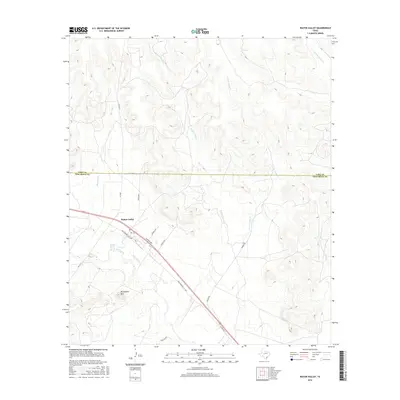
2016 Map of Water Valley
USGS Topo · Published 2016About this map
The settlement of Walter Valley serves as the focal point of this West Texas landscape, positioned where the N Concho River and Shin Oak Cr converge. The terrain is defined by a dense network of intermittent drainage systems, including W Fork Chalk Cr, E Fork Chalk Cr, and T F Draw, which carve through the Edwards Plateau topography toward the Concho basin.
Find a feature on this map
22 named features on this map. Tap any name to fly to it.
Don’t see what you’re looking for? This feature index may not catch every label — zoom into the map to look around manually.
Map Details
Editions of this 2016 Water Valley Map
This is the sole edition of this map. No revisions or reprints were ever made.
Other maps of this area

1954 · San Angelo
USGS Topo · 1:250,000

1957 · Carlsbad
USGS Topo · 1:62,500

1957 · Mount Nebo
USGS Topo · 1:24,000

1958 · San Angelo
USGS Topo · 1:250,000
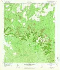
1962 · Millican Mountains
USGS Topo · 1:24,000

1965 · San Angelo
USGS Topo · 1:250,000

1972 · Dog Creek NE
USGS Topo · 1:24,000

1972 · Broome
USGS Topo · 1:24,000
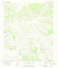
1972 · Dog Creek
USGS Topo · 1:24,000
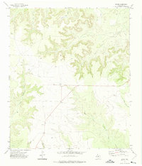
1972 · Divide
USGS Topo · 1:24,000