Old Maps of Webberville, Texas for Hiking & Exploration
Hike through history with 24 historic maps of Webberville. Explore old trails, ghost towns, and forgotten backroads — perfect for outdoor adventurers and local explorers.
- Rediscover forgotten places: Map out old mining camps, roads, and footpaths that no longer exist on modern maps.
- Layer with modern tools: Combine with LiDAR or satellite views to plan hikes through historical terrain.
- Made for exploration: Popular among hikers, overlanders, and local history lovers.
Use these maps to find adventure and explore the hidden past of Webberville.
Webberville, TX maps
(24)- 1885 Map of Bastrop
 1885 Bastrop1885 Print · USGSCentral Texas was undergoing a rail-driven transformation in the late nineteenth century as steam power connected the frontier to the Gulf. Genealogists can trace family names and old homesites near Rice's Crossing, Hills Prairie, and along the vital Houston and Texas Central Railroad.
 - 1893 Map of Bastrop
 1893 Bastrop1893 Print · USGSBastrop and the Colorado River valley are captured here in the late nineteenth century as the railroad transformed the Texas interior. Researchers can trace early property lines and community centers like Lexington, McDade, and the high vistas of the Yegua Knobs.
 - 1896 Map of Austin
 1896 Austin1896 Print · USGSAustin and its surrounding counties are shown in the mid-1890s, capturing the transition from frontier river crossings to a rail-centered regional hub. Researchers can trace historic river access points like Cameron Ferry alongside vanished landmarks such as Johnson's Institute and Moore & Berry's Store.
 - 1897 Map of Austin
 1897 Austin1897 Print · USGSTexas in the late 1890s reveals a capital city defined by its river and an expanding railroad network. Genealogists and historians can trace family-named landmarks and early centers of learning like Saint Edward's College, Johnson's Institute, and Anderson Mill.
 - 1904 Map of Bastrop
 1904 Bastrop1904 Print · USGSBastrop and Smithville thrive along the Colorado River at the turn of the century, serving as vital hubs for the Texas interior. Trace ancestral roots and old transport routes through Nashs Ferry, the Coal Mine near Sayersville, and Colorado Chapel.3 unique versions available
 - 1910 Map of Austin
 1910 Austin1910 Print · USGSAustin and the surrounding Travis County hill country are captured here at the start of the twentieth century. Genealogists and researchers can locate pioneer landmarks like Anderson Mill, Mc.Kinney Falls, and numerous river crossings including Lohmann Ford.3 unique versions available
 - 1948 Map of Bastrop, 1972 Print
 1948 Bastrop1972 Print · USGSBastrop and its winding river bends are captured here in the late 1940s as the military and oil industries integrated with rural farming life. Trace the footprints of the Camp Swift Military Reservation or locate family sites at Bartons Farm, Woods Cem, and Shiloh Sch.
 - 1950 Map of Bastrop
 1950 Bastrop1950 Print · USGSThe Colorado River valley around the turn of the decade is defined by sprawling military infrastructure and tight-knit farming communities. Researchers can trace the heritage of Bastrop and Sayersville or locate family landmarks like Burleson Cem and Union Hill Sch.
 - 1954 Map of Austin, 1964 Print
 1954 Austin1964 Print · USGSCentral Texas is captured during a period of steady growth as the capital city and its neighboring farm towns began to modernize. Researchers can trace historic rail corridors like the Southern Pacific RR or locate landmarks such as Bergstrom Air Force Base and Pilot Knob.4 unique versions available
 - 1955 Map of Montopolis, 1956 Print
 1955 Montopolis1956 Print · USGSThe area southeast of Austin in the mid-fifties reveals a transition from river-bottom farming to active resource extraction. Researchers can locate family landmarks such as Assumption Cemetery, the Elroy Oil Field, and rural centers like Moores Crossing.2 unique versions available
 - 1968 Map of Webberville, 1971 Print
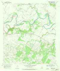 1968 Webberville1971 Print · USGSThe Colorado River bends through Travis County in the late 1960s, shaping a landscape of family farms and historic river crossings. Genealogists can trace deep local roots at Comanche Cemeteries, Webberville, and Garfield Cem.3 unique versions available
 - 1982 Map of Utley
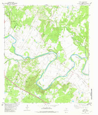 1982 Utley1982 Print · USGSThe Colorado River's dramatic loops define the border between Travis and Bastrop counties during the early eighties. Genealogists can locate numerous family burial sites and rural centers including St Paul Cem, Utley, and Walker-Watson Cem.3 unique versions available
 - 1985 Map of Austin
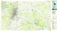 1985 Austin1985 Print · USGSCentral Texas in the mid-eighties reveals a region in transition, balancing rapid urban growth in Austin with deep-rooted rural landscapes. Genealogists and historians can trace family locations near St Johns Ch, the Science Hall schoolhouse, and long-standing communities like Webberville and Manchaca.3 unique versions available
 - 1987 Map of Webberville, 1988 Print
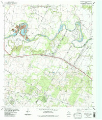 1987 Webberville1988 Print · USGSEast of Austin in the late eighties, the Colorado River corridor preserves a network of rural settlements and family burial grounds. Genealogists can locate several historic sites including Comanche Cemeteries, Haynie Cem, and Fowler Cem.
 - 2010 Map of Utley, 2010 Print
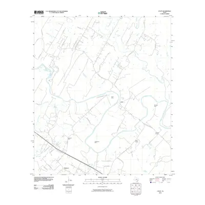 2010 Utley2010 Print · USGSThe Colorado River meanders through central Texas at the start of the 21st century, revealing a landscape defined by its deep bends and river-bottom prairies. Genealogists and local historians can locate the Walker-Watson Cemetery and trace early routes like the Old Bastrop Hwy near Utley.
 - 2010 Map of Webberville, 2010 Print
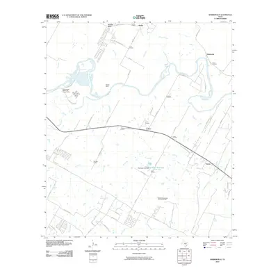 2010 Webberville2010 Print · USGSThe Colorado River corridor east of Austin comes into focus during the early twenty-first century, showing a mix of rural heritage and utility expansion. Genealogists can trace family names at Haynie Cemetery and Fowler Cemetery or locate the settlement at Garfield.
 - 2013 Map of Webberville, 2013 Print
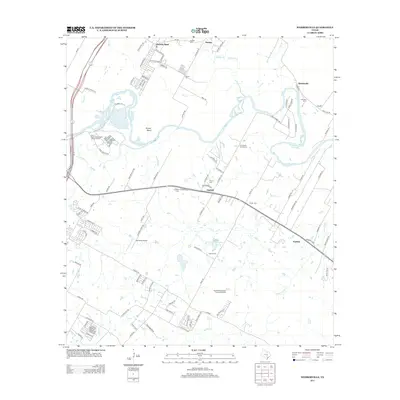 2013 Webberville2013 Print · USGSThe Colorado River corridor east of Austin comes alive in this survey of the river-bend country. Researchers can trace family history through numerous burial sites like Comanche Cemeteries and locate landmarks like Del Valle Airport or the village of Webberville.
 - 2013 Map of Utley, 2013 Print
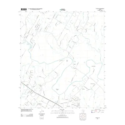 2013 Utley2013 Print · USGSCentral Texas river life and rural development are captured here in the early twenty-first century as the landscape began to shift. Genealogists and researchers can locate the Walker Watson Cem and trace the winding Colorado River through Pope Bend and Hemphill Prairie.
 - 2016 Map of Webberville, 2016 Print
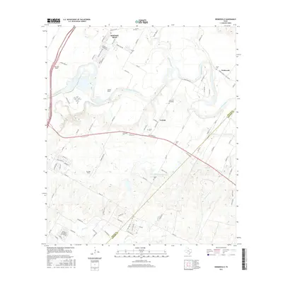 2016 Webberville2016 Print · USGSThe Colorado River bottoms east of Austin are seen here during a period of modern expansion in the mid-2010s. Genealogists can locate several local burial sites like the Comanche Cemeteries and Garfield Cem near the historic Webberville settlement.
 - 2016 Map of Utley, 2016 Print
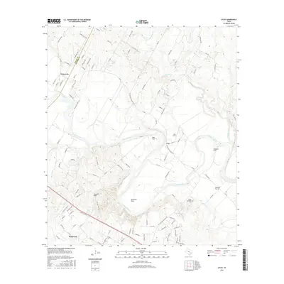 2016 Utley2016 Print · USGSThe Colorado River corridor between Travis and Bastrop counties is documented here in the mid-2010s. Researchers can trace family history at the Walker-Watson Cemetery or locate landmarks like Utley Airport and the high ground of Caldwell Knob.
 - 2019 Map of Utley, 2019 Print
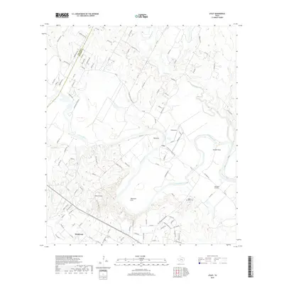 2019 Utley2019 Print · USGSThe river valley along the Travis and Bastrop county line remains a landscape of deep loops and rural crossings in the late twenty-teens. Genealogists and local historians can trace family landmarks like the Walker-Watson Cem, the community of Utley, and the terrain of Caldwell Knob.
 - 2019 Map of Webberville, 2019 Print
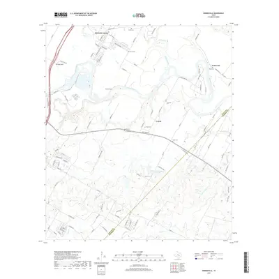 2019 Webberville2019 Print · USGSThe Colorado River valley east of Austin is documented here in the early twenty-first century as it transitions between rural heritage and suburban growth. Genealogists can locate several historic burial sites, including Puckett Cem, Comanche Cem, and Woods Cem near Webberville.
 - 2022 Map of Utley, 2022 Print
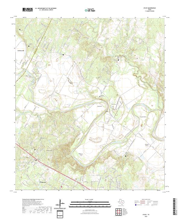 2022 Utley2022 Print · USGSThe Colorado River corridor east of Austin comes to life in this recent study of the river’s bends and prairies. Genealogists can trace family heritage through numerous rural sites like Coates Family Cem, Saint Paul Cem, and Walker Watson Cem.
 - 2022 Map of Webberville, 2022 Print
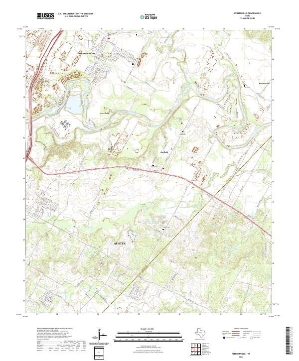 2022 Webberville2022 Print · USGSThe rural river bottoms of Travis and Bastrop counties are captured in the early 2020s as suburban expansion meets traditional Texas ranch land. Genealogists can trace family heritage at Garfield Cemetery, Wood Cemetery, and Puckett Cemetery along the winding Colorado River.
End of results
Showing maps 1-24 of 24
Top cities near Webberville
- Austin historical maps
- Pflugerville historical maps
- Manor historical maps
- Elgin historical maps
- Bastrop historical maps
- Mustang Ridge historical maps
See more
Frequently asked questions
- What are the different types of historical maps available for Webberville?
- What is the oldest map of Webberville?
- Where can I purchase historical maps of Webberville for my home or office?
- Where can I download high-res historical maps of Webberville?
- Are there historical topographic maps available for Webberville?
- Is there historical aerial imagery available for Webberville?
- Where are historical maps of Webberville sourced from?