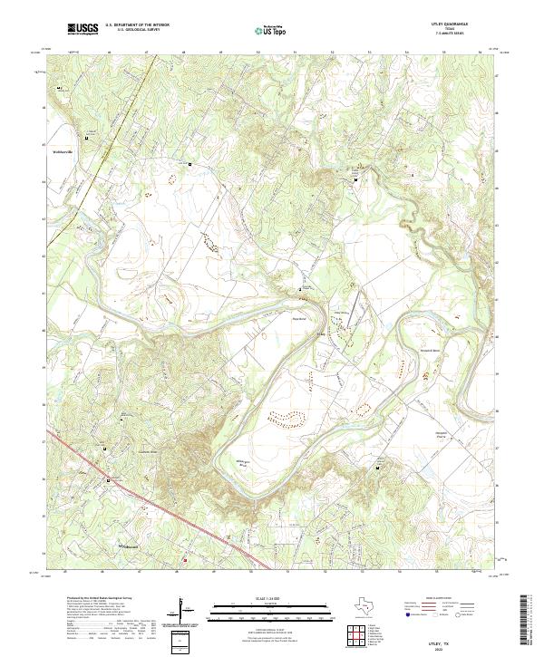
2022 Map of Utley
USGS Topo · Published 2022About this map
The Colorado River carves a deep path through this section of the Texas landscape, creating dramatic features like Wilbargers Bend, Pope Bend, and Hemphill Bend. The topography is defined by significant elevations such as Caldwell Knob, while the surrounding lowlands of Hemphill Prairie demonstrate the historical importance of the river plain. Settlement is concentrated around Utley and Webberville, with Wyldwood appearing further south.
Find a feature on this map
119 named features on this map. Tap any name to fly to it.
Don’t see what you’re looking for? This feature index may not catch every label — zoom into the map to look around manually.
Map Details
Editions of this 2022 Utley Map
This is the sole edition of this map. No revisions or reprints were ever made.
Other maps of this area

1885 · Bastrop
USGS Topo · 1:125,000

1893 · Bastrop
USGS Topo · 1:125,000

1896 · Austin
USGS Topo · 1:125,000

1897 · Austin
USGS Topo · 1:125,000

1904 · Bastrop
USGS Topo · 1:125,000

1910 · Austin
USGS Topo · 1:125,000

1948 · Elgin
USGS Topo · 1:62,500

1948 · Bastrop
USGS Topo · 1:62,500

1950 · Bastrop
USGS Topo · 1:62,500

1950 · Elgin
USGS Topo · 1:62,500