Old Maps of Wills Point, Texas for Metal Detecting
Plan your next treasure hunt with 19 historic maps of Wills Point. Find old homesites, ghost towns, trails, and gathering spots that may be lost to time — perfect for identifying promising metal detecting locations.
- Locate forgotten sites: Uncover places like long-lost settlements, abandoned rail lines, or gathering spots.
- Plan better hunts: Use map overlays combined with LiDAR or satellite views to narrow in on historically rich areas.
- Made for detectorists: Thousands of hobbyists use these maps to discover relics, coins, and hidden history.
Use these historic maps to boost your research and find new opportunities beneath the surface of Wills Point.
Wills Point, TX maps
(19)- 1954 Map of Dallas, 1963 Print
 1954 Dallas1963 Print · USGSNorth Texas in the mid-fifties and early sixties reveals a landscape of rapid urban growth and water management. Genealogists and historians can trace the evolution of the metroplex through landmarks like Hensley Field, Boles Orphan Home, and the Texas & Pacific RR.4 unique versions available
 - 1956 Map of Tyler
 1956 Tyler1956 Print · USGSEast Texas was a powerhouse of oil production and rail transport during the mid-fifties, centered on the sprawling East Texas Oil Field. Researchers can trace the heritage of industrial hubs like Kilgore, military sites such as the Longhorn Ordnance Works, and many rural landmarks like Mount Enterprise.5 unique versions available
 - 1958 Map of Dallas
 1958 Dallas1958 Print · USGSNorth Texas in the late fifties shows the dramatic expansion of the Metroplex as it absorbs surrounding farm towns. Genealogists and historians can trace old rail lines like the Missouri-Kansas-Texas and locate early lakefront developments at Eagle Mountain Lake and Lake Worth Village.
 - 1962 Map of Wills Point, 1965 Print
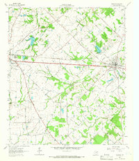
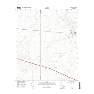
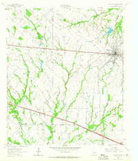 1962 Wills Point1965 Print · USGSWills Point and the surrounding Van Zandt County countryside are shown here in the early 1960s, centered on the Texas and Pacific rail line. Genealogists can trace family landmarks like Union Grove Cem, Allen Cem, and the small settlement of Hiram.2 unique versions available
 - 1962 Map of Edgewood, 1966 Print
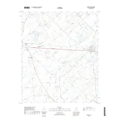
 1962 Edgewood1966 Print · USGSThe rail-corridor towns of Van Zandt County appear here in the early sixties, caught between their agricultural roots and modern infrastructure. Genealogists can locate several rural landmarks and burial sites, including White Rose Cem, Rock Hill Cem, and Rainey's Chapel.2 unique versions available
 - 1984 Map of Tyler
 1984 Tyler1984 Print · USGSEast Texas at the peak of its reservoir-building era shows a landscape defined by new lakes and established rail corridors. Trace the path of the St Louis Southwestern RR or locate industrial sites like the Longhorn Ordnance Works.3 unique versions available
 - 1985 Map of Mineola
 1985 Mineola1985 Print · USGSUpper East Texas in the mid-eighties shows a region shaped by the Sabine River and large-scale water projects. Researchers can trace the rail heritage of the Missouri Pacific RR and locate rural landmarks like Ambassador College Res or the Oil Field.
 - 1986 Map of Dallas
 1986 Dallas1986 Print · USGSThe North Texas metropolitan landscape comes into focus during the mid-eighties as urban growth expands toward the eastern reservoirs. Researchers can trace historic cemeteries like Oak Cliff Cem, rail corridors of the Texas & Pacific RR, and landmarks such as Southern Methodist University.3 unique versions available
 - 1991 Map of Mineola
 1991 Mineola1991 Print · USGSEast Texas in the early nineties reveals a landscape shaped by large-scale water reservoirs and the enduring footprint of the oil industry. Genealogists and historians can trace rail-town development in Mineola or explore smaller settlements like Bright Star and Garden Valley.
 - 2010 Map of Edgewood, 2010 Print
 2010 Edgewood2010 Print · USGSCovers Wills Point, including Edgewood, Elwood, and other nearby areas
 - 2010 Map of Wills Point, 2010 Print
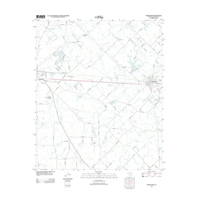
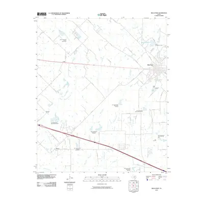 2010 Wills Point2010 Print · USGSCovers Wills Point, including Cobb, Hiram, and other nearby areas
 - 2012 Map of Wills Point, 2012 Print
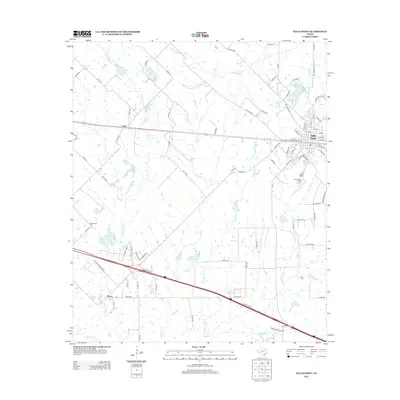 2012 Wills Point2012 Print · USGSCovers Wills Point, including Cobb, Hiram, and other nearby areas
 - 2012 Map of Edgewood, 2012 Print
 2012 Edgewood2012 Print · USGSCovers Wills Point, including Edgewood, Elwood, and other nearby areas
 - 2016 Map of Edgewood, 2016 Print
 2016 Edgewood2016 Print · USGSCovers Wills Point, including Edgewood, Elwood, and other nearby areas
 - 2016 Map of Wills Point, 2016 Print
 2016 Wills Point2016 Print · USGSCovers Wills Point, including Cobb, Hiram, and other nearby areas
 - 2019 Map of Edgewood, 2019 Print
 2019 Edgewood2019 Print · USGSCovers Wills Point, including Edgewood, Elwood, and other nearby areas
 - 2019 Map of Wills Point, 2019 Print
 2019 Wills Point2019 Print · USGSCovers Wills Point, including Cobb, Hiram, and other nearby areas
 - 2022 Map of Wills Point, 2022 Print
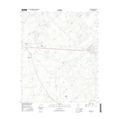
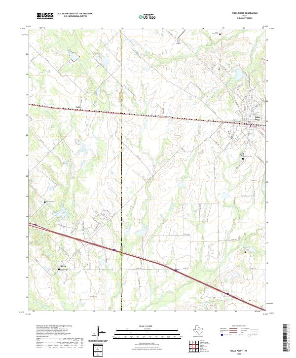 2022 Wills Point2022 Print · USGSThe area surrounding Wills Point and the Kaufman-Van Zandt county line is shown here in the early twenty-first century. Researchers can trace family history at Union Grove Cem or Greenwood Cem and locate rural hubs like Hiram and Cobb.
 - 2022 Map of Edgewood, 2022 Print
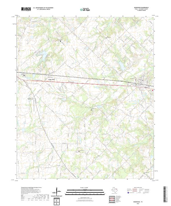 2022 Edgewood2022 Print · USGSEdgewood and Wills Point are shown here in the 2020s, highlighting the enduring rural character of Van Zandt County. Researchers can trace local lineage through numerous burial sites like Ellis Chapel Cem and Highland Cem or locate the Van Zandt County Regional Airport.
End of results
Showing maps 1-19 of 19
Top cities near Wills Point
- Terrell historical maps
- Canton historical maps
- Canton historical maps
- West Tawakoni historical maps
- West Tawakoni historical maps
- Emory historical maps
See more
Frequently asked questions
- What are the different types of historical maps available for Wills Point?
- What is the oldest map of Wills Point?
- Where can I purchase historical maps of Wills Point for my home or office?
- Where can I download high-res historical maps of Wills Point?
- Are there historical topographic maps available for Wills Point?
- Is there historical aerial imagery available for Wills Point?
- Where are historical maps of Wills Point sourced from?