Old Maps of Pyote, Texas for Academic Research
Study the evolution of Pyote with 15 high-resolution historic maps. Whether you're teaching, researching, or modeling changes in land use, these maps provide essential visual documentation of urban, environmental, and geographic change.
- Analyze long-term change: Track patterns in development, transportation, and natural features.
- Ideal for environmental or urban studies: Support academic projects with primary historical map data.
- Use in the classroom or lab: Educators and researchers rely on these maps to bring historical context to life.
These maps are a powerful tool for teaching, research, and visualizing how Pyote has changed over the decades.
Pyote, TX maps
(15)- 1954 Map of Pecos, 1964 Print
 1954 Pecos1964 Print · USGSMid-century West Texas reveals a landscape of expanding oil fields and cattle ranching along the winding Pecos River. Local historians can trace family ranch lands like Goodrich Ranch, follow the Texas and Pacific rails, or locate the historic Horsehead Crossing.3 unique versions available
 - 1957 Map of Pecos
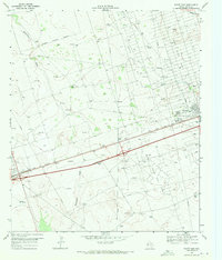
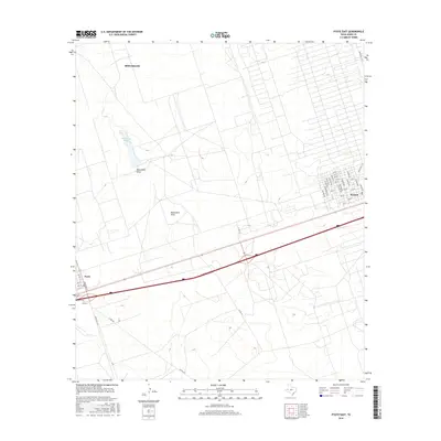
 1957 Pecos1957 Print · USGSWest Texas in the mid-fifties is a landscape of desert oil fields and vital rail corridors. Researchers can trace the sprawling Pyote Air Force Base, the historic Horsehead Crossing, and the rail stops at Mentone and Saragosa.
 - 1969 Map of Pyote East, 1971 Print
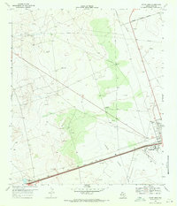
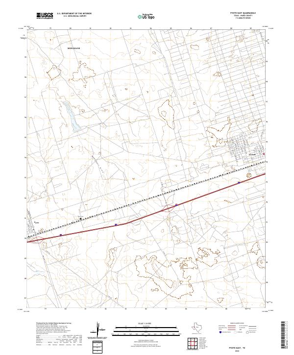
 1969 Pyote East1971 Print · USGSWard County during the late sixties shows a landscape transformed by the West Texas oil boom. Researchers can trace the industrial footprint of the refinery at Wickett or locate family ranching landmarks like Tie Ranch and Thorton Ranch.2 unique versions available
 - 1969 Map of Pyote West, 1971 Print
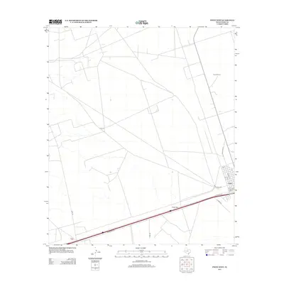
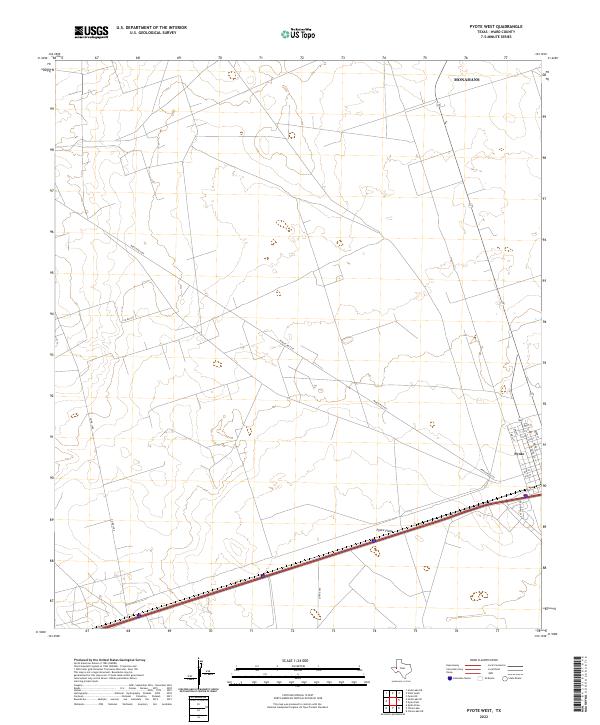
 1969 Pyote West1971 Print · USGSWestern Ward County at the end of the 1960s was a hub for energy extraction and specialized institutions. Researchers can trace the layout of Pyote and the West Texas Childrens Home alongside the Texas and Pacific railroad and family sites like Wilson Ranch.2 unique versions available
 - 1986 Map of Kermit
 1986 Kermit1986 Print · USGSWest Texas during the mid-eighties was a landscape defined by the energy industry and the winding Pecos River. Trace the development of Oil Field networks near Kermit, the historic Horsehead Crossing, and the rail lines of the Missouri Pacific.2 unique versions available
 - 2010 Map of Pyote East, 2010 Print
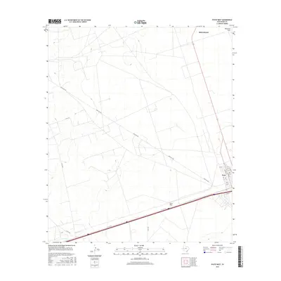
 2010 Pyote East2010 Print · USGSCovers Pyote, including Monahans, Wickett, and other nearby areas
 - 2010 Map of Pyote West, 2010 Print
 2010 Pyote West2010 Print · USGSCovers Pyote, including Monahans, Ward County, and other nearby areas
 - 2012 Map of Pyote West, 2012 Print
 2012 Pyote West2012 Print · USGSCovers Pyote, including Monahans, Ward County, and other nearby areas
 - 2013 Map of Pyote East, 2013 Print
 2013 Pyote East2013 Print · USGSCovers Pyote, including Monahans, Wickett, and other nearby areas
 - 2016 Map of Pyote East, 2016 Print
 2016 Pyote East2016 Print · USGSCovers Pyote, including Monahans, Wickett, and other nearby areas
 - 2016 Map of Pyote West, 2016 Print
 2016 Pyote West2016 Print · USGSCovers Pyote, including Monahans, Ward County, and other nearby areas
 - 2019 Map of Pyote East, 2019 Print
 2019 Pyote East2019 Print · USGSCovers Pyote, including Monahans, Wickett, and other nearby areas
 - 2019 Map of Pyote West, 2019 Print
 2019 Pyote West2019 Print · USGSCovers Pyote, including Monahans, Ward County, and other nearby areas
 - 2022 Map of Pyote East, 2022 Print
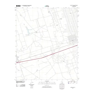
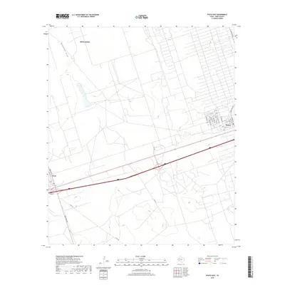
 2022 Pyote East2022 Print · USGSWard County's high plains landscape is captured in the early 2020s, showing the established communities of Pyote and Wickett. Genealogists and local historians can trace family roots through the Pyote Cem or explore the street grids of Wickett along Monument Draw.
 - 2022 Map of Pyote West, 2022 Print
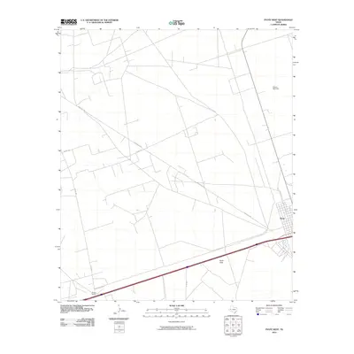
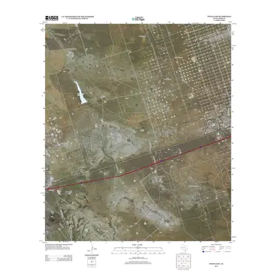
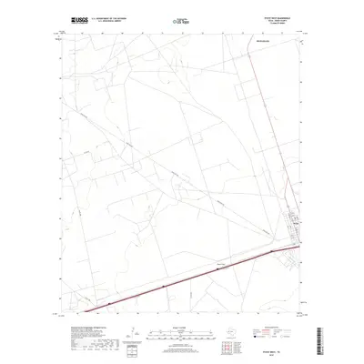
 2022 Pyote West2022 Print · USGSWard County's arid plains and the established grid of Pyote are documented here in the early twenty-first century. Local historians can trace the town's layout along Ward St or follow rural routes like Ranch Rd 2355 across the Pyote Flats.
End of results
Showing maps 1-15 of 15
Top cities near Pyote
Frequently asked questions
- What are the different types of historical maps available for Pyote?
- What is the oldest map of Pyote?
- Where can I purchase historical maps of Pyote for my home or office?
- Where can I download high-res historical maps of Pyote?
- Are there historical topographic maps available for Pyote?
- Is there historical aerial imagery available for Pyote?
- Where are historical maps of Pyote sourced from?