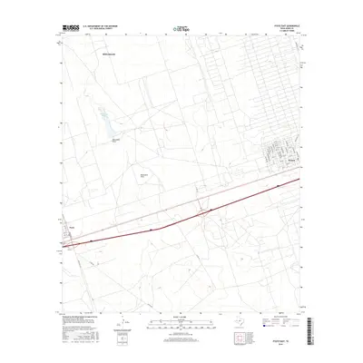
2016 Map of Pyote East
USGS Topo · Published 2016About this map
Wickett and Pyote sit along a major transportation corridor in Ward County, illustrating the persistent linear development of the Permian Basin. This landscape is defined by its arid topography and industrial utility, where the gridiron streets of Wickett—including Graham Ave and Alpine Ave—contrast with the open brushland to the west. A significant hydrologic feature, Monument Pond, feeds into the southern-stretching Monument Draw, which cuts through the center of the sheet. The southern outskirts of Monahans occupy the northern portion, showing the city's growth toward the interstate. Throughout the area, a dense network of secondary routes like Ranch Rd 1219 and Co Rd 415 provides access to the surrounding plains, which have long been defined by the intersection of energy infrastructure and the harsh West Texas environment.
Find a feature on this map
39 named features on this map. Tap any name to fly to it.
Don’t see what you’re looking for? This feature index may not catch every label — zoom into the map to look around manually.
Map Details
Editions of this 2016 Pyote East Map
This is the sole edition of this map. No revisions or reprints were ever made.
Other maps of this area

1931 · Barstow
USGS Topo · 1:125,000

1954 · Pecos
USGS Topo · 1:250,000

1957 · Pecos
USGS Topo · 1:250,000

1963 · China Lake NE
USGS Topo · 1:24,000

1963 · China Lake
USGS Topo · 1:24,000

1968 · Wink South
USGS Topo · 1:24,000

1968 · China Ranch
USGS Topo · 1:24,000

1969 · Pyote NE
USGS Topo · 1:24,000

1969 · Pyote East
USGS Topo · 1:24,000

1969 · Monahans
USGS Topo · 1:24,000