Old Maps of Odell, Texas for Genealogy
Trace your family roots with 9 historic maps of Odell. These high-res maps reveal old neighborhoods, homesites, landmarks, and streets — helping you uncover where your ancestors lived and how the area evolved over time.
- Explore historic neighborhoods: Identify where your relatives may have lived in the 1800s or 1900s.
- Compare maps over time: Trace the changes in streets, buildings, and landmarks for multi-generational research.
- Perfect for genealogy & ancestry research: Used by family historians and researchers to map out lineage and migration.
These maps are an incredible resource for exploring your personal connection to Odell's past.
Odell, TX maps
(9)- 1955 Map of Lawton, 1958 Print
 1955 Lawton1958 Print · USGSSouthwestern Oklahoma and North Texas are shown here in the mid-fifties, dominated by the Wichita Mountains and the vital Red River watershed. Genealogists and historians can trace the foundations of Lawton alongside rural landmarks like Rainy Mountain Church and Pleasant Hill School.5 unique versions available
 - 1958 Map of Elmer, 1960 Print
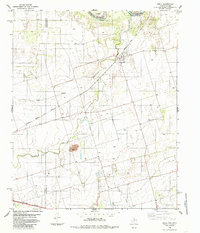
 1958 Elmer1960 Print · USGSThe Oklahoma-Texas borderlands are captured here in the late fifties as oil production and ranching shaped the landscape. Researchers can locate vanished rural landmarks like Amerada Camp, the Fargo Oil Field, and the Southside School.2 unique versions available
 - 1985 Map of Odell, 1986 Print
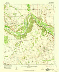
 1985 Odell1986 Print · USGSThe Texas-Oklahoma borderlands in the mid-1980s come into focus here, showing the rural community of Odell at the intersection of rail and river. Genealogists and historians can trace the paths of the Atchison Topeka and Santa Fe railroad or locate family operations near the local Oil Field and Wanderers Creek.
 - 1986 Map of Vernon
 1986 Vernon1986 Print · USGSNorth Texas and Southern Oklahoma meet along the river in the mid-1980s, revealing a landscape defined by ranching, oil production, and rail transport. Researchers can locate distinct landmarks such as Medicine Mound, the Conley Oil Field, and the community of Punkin Center.
 - 2010 Map of Odell, 2010 Print
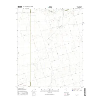
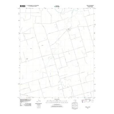 2010 Odell2010 Print · USGSCovers Odell, including Jackson County, Hardeman County, and other nearby areas
 - 2012 Map of Odell, 2012 Print
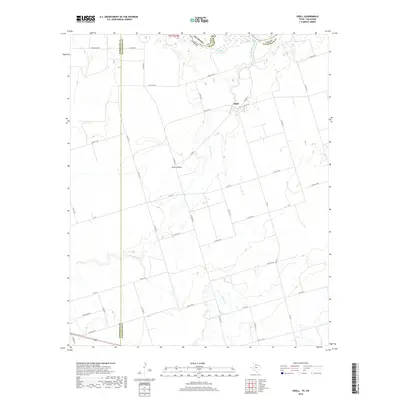
 2012 Odell2012 Print · USGSCovers Odell, including Jackson County, Hardeman County, and other nearby areas
 - 2016 Map of Odell, 2016 Print
 2016 Odell2016 Print · USGSCovers Odell, including Jackson County, Hardeman County, and other nearby areas
 - 2019 Map of Odell, 2019 Print
 2019 Odell2019 Print · USGSCovers Odell, including Jackson County, Hardeman County, and other nearby areas
 - 2022 Map of Odell, 2022 Print
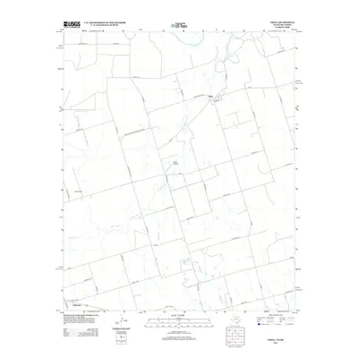
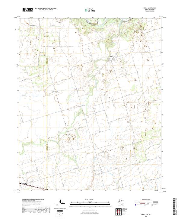 2022 Odell2022 Print · USGSWilbarger County, Texas, is captured here in the early 2020s as a landscape of vast agricultural grids and historic river boundaries. Genealogists and local researchers can trace the rural layouts of Odell and Chillicothe or follow the winding path of Wanderers Cr toward the Red River.
End of results
Showing maps 1-9 of 9
Top cities near Odell
- Vernon historical maps
- Chillicothe historical maps
- Olustee historical maps
- Eldorado historical maps
- Elmer historical maps
Frequently asked questions
- What are the different types of historical maps available for Odell?
- What is the oldest map of Odell?
- Where can I purchase historical maps of Odell for my home or office?
- Where can I download high-res historical maps of Odell?
- Are there historical topographic maps available for Odell?
- Is there historical aerial imagery available for Odell?
- Where are historical maps of Odell sourced from?