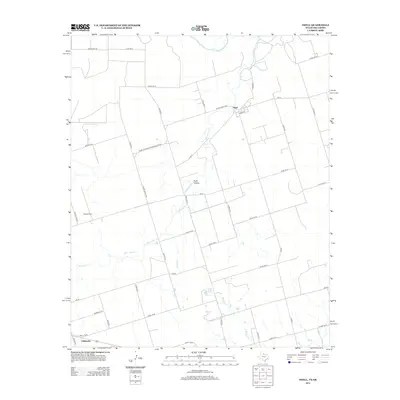
2012 Map of Odell
USGS Topo · Published 2012About this map
The settlement of Odell sits on a high, level plateau in northern Wilbarger County, defined by a rigid grid of rural farm roads that stretch toward the Oklahoma border. This landscape is shaped by the drainage patterns of Wanderers Cr and Wildcat Cr, which carve through the plains toward the Red River to the north. The area's agricultural character is evident in the sprawling property of Moffett Ranch and the deep terrain of Plum Hollow, where the elevation begins to drop toward the river valley. In the southern portion of the sheet, the town of Chillicothe serves as a transportation hub where regional routes like FM-924 and local county roads converge. This map documents a region where the vast Texas ranchlands meet the riparian borderlands, with clear distinctions between the developed town plots and the expansive open range.
Find a feature on this map
36 named features on this map. Tap any name to fly to it.
Don’t see what you’re looking for? This feature index may not catch every label — zoom into the map to look around manually.
Map Details
Editions of this 2012 Odell Map
This is the sole edition of this map. No revisions or reprints were ever made.
Other maps of this area

1955 · Lawton
USGS Topo · 1:250,000
1958 · Vernon
USGS Topo · 1:62,500
1958 · Medicine Mound
USGS Topo · 1:62,500
1958 · Elmer
USGS Topo · 1:62,500
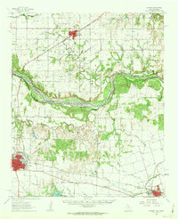
1960 · Quanah
USGS Topo · 1:62,500
1975 · Elmore City NE
USGS Topo · 1:24,000
1975 · Quanah NE
USGS Topo · 1:24,000
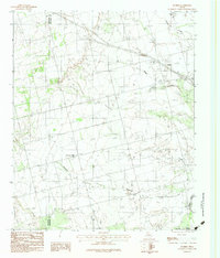
1983 · Tolbert
USGS Topo · 1:24,000
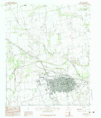
1983 · Vernon
USGS Topo · 1:24,000
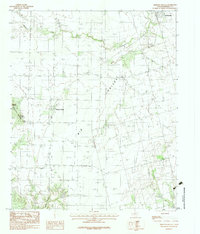
1983 · Medicine Mound
USGS Topo · 1:24,000