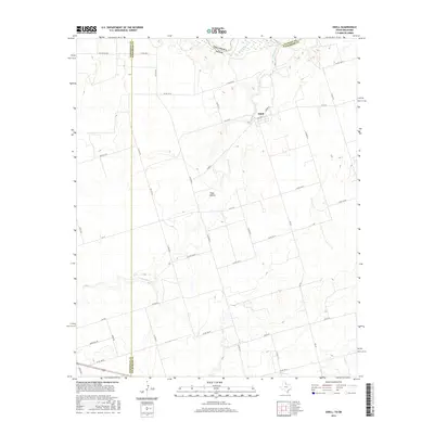
2016 Map of Odell
USGS Topo · Published 2016About this map
Wanderers Creek meanders through the heart of this North Texas borderland, where the winding channel carves through the agricultural plains south of the Red River. The small settlement of Odell serves as a local hub near the Oklahoma border, defined by its modest grid including Cooper St and its position along the FM 91 W corridor. To the south, the landscape opens into broader ranching and farming tracts near Plum Hollow, a named locality that characterizes the subtle drainages and depressions of the Wilbarger County terrain.
Find a feature on this map
36 named features on this map. Tap any name to fly to it.
Don’t see what you’re looking for? This feature index may not catch every label — zoom into the map to look around manually.
Map Details
Editions of this 2016 Odell Map
This is the sole edition of this map. No revisions or reprints were ever made.
Other maps of this area

1955 · Lawton
USGS Topo · 1:250,000
1958 · Vernon
USGS Topo · 1:62,500
1958 · Medicine Mound
USGS Topo · 1:62,500
1958 · Elmer
USGS Topo · 1:62,500
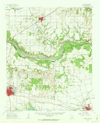
1960 · Quanah
USGS Topo · 1:62,500
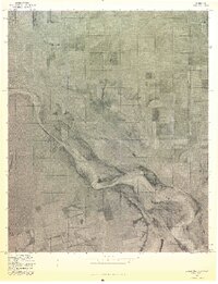
1975 · Elmore City NE
USGS Topo · 1:24,000
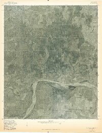
1975 · Quanah NE
USGS Topo · 1:24,000
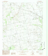
1983 · Tolbert
USGS Topo · 1:24,000
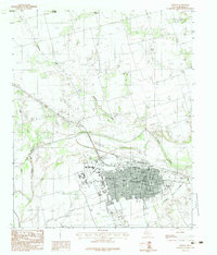
1983 · Vernon
USGS Topo · 1:24,000
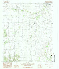
1983 · Medicine Mound
USGS Topo · 1:24,000