2020s Maps of Williamson County, Texas
Explore 30 historic maps of Williamson County from the 2020s. These maps offer a rare glimpse into what life looked like during the 2020s — showing old roads, neighborhoods, homes, and landmarks that have changed or disappeared over time.
Whether you're researching your family's past, planning a metal detecting trip, or studying how Williamson County's landscape evolved across the 2020s, these high-resolution maps are a powerful tool for exploring the history of this region.
- Focus on a specific era: All maps on this page are from the 2020s, giving you a focused view of this time period.
- See what’s changed: Compare century-old streets, trails, and buildings to today's modern landscape using overlays and satellite layers.
- Research with precision: Use these maps for genealogy, historical research, land use analysis, or educational projects.
- View, download, or print: Maps are fully viewable online in high resolution, and can be downloaded or printed for your own records.
Start exploring Williamson County's history through authentic maps from the 2020s. This is your window into the past.
Williamson County, TX maps
(30)- 2022 Map of Bertram, 2022 Print
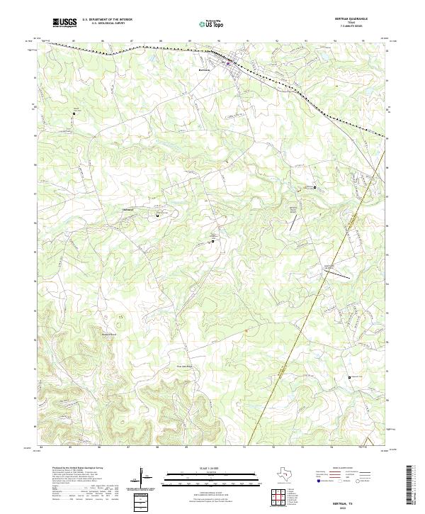 2022 Bertram2022 Print · USGSEastern Burnet County and the Williamson County line are captured here in the early twenty-first century as rural traditions meet modern growth. Genealogists can trace family heritage at Negro Stringtown Cem, the historic settlement of Oatmeal, and the winding S Fork San Gabriel River.
 - 2022 Map of Travis Peak, 2022 Print
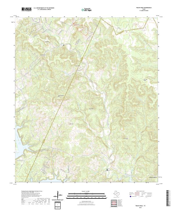 2022 Travis Peak2022 Print · USGSThe Balcones Escarpment of Central Texas is captured here in the early twenty-first century as suburban growth meets rural ranchland. Genealogists and historians can trace family burial sites at Heine Cem or locate old landmarks like Travis Peak and Boultinghouse Mtn.
 - 2022 Map of Weir, 2022 Print
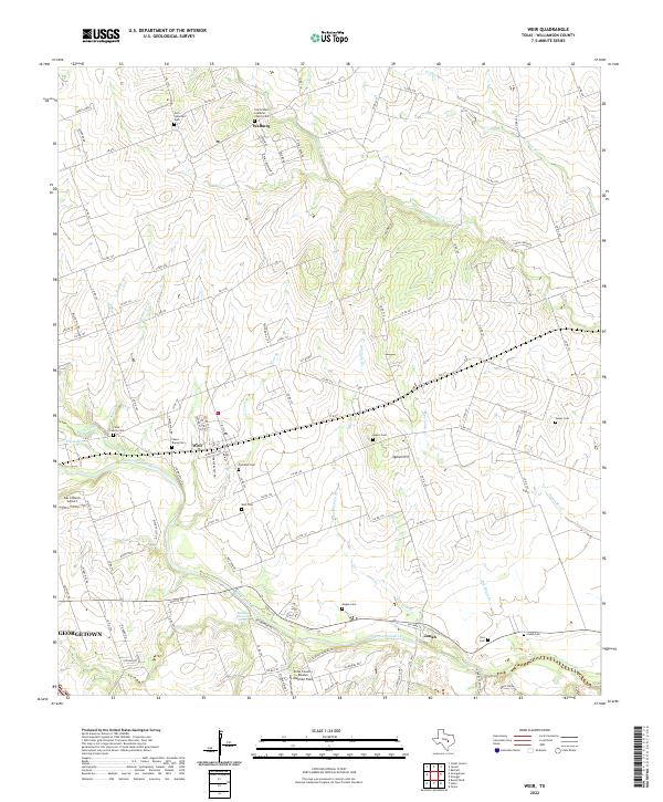 2022 Weir2022 Print · USGSThe San Gabriel River valley north of Austin comes into focus in this modern era, showing the enduring agricultural character of Williamson County. Researchers can trace family history through numerous local sites like Old Weir Cem, Jonah, and Walburg.
 - 2022 Map of Bartlett, 2022 Print
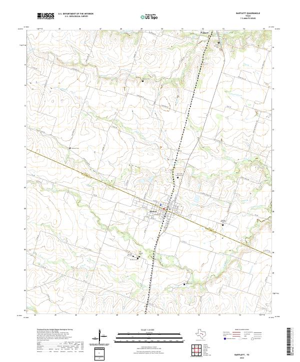 2022 Bartlett2022 Print · USGSThe Bell and Williamson County line divides this Central Texas landscape during a period of modern agricultural continuity. Genealogists can trace deep local roots through a significant cluster of burial sites, including the Czech National Cem, Old Black Cem, and German Methodist Cem.
 - 2022 Map of Thrall, 2022 Print
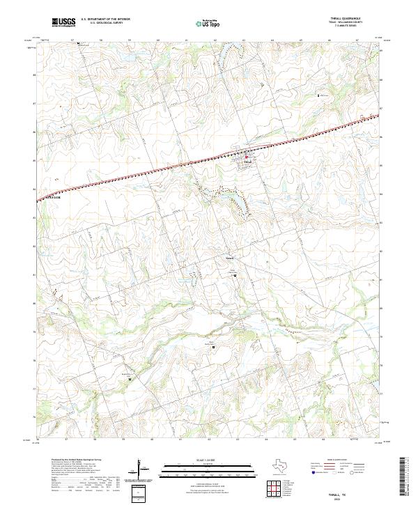 2022 Thrall2022 Print · USGSThrall and the surrounding Williamson County farmlands are captured in this 2022 survey, showcasing the enduring rural character of the Texas Blacklands. Researchers can locate family sites like Wuthrich Cem or trace the drainage of Brushy Creek and Mustang Creek.
 - 2022 Map of San Gabriel, 2022 Print
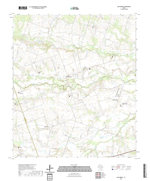 2022 San Gabriel2022 Print · USGSMilam and Williamson counties appear here as a quiet network of river crossings and family ranchlands in the early twenty-first century. Researchers can trace dozens of local burial sites like Locklin Cem and Moore Cem near the banks of the San Gabriel River.
 - 2022 Map of Leander NE, 2022 Print
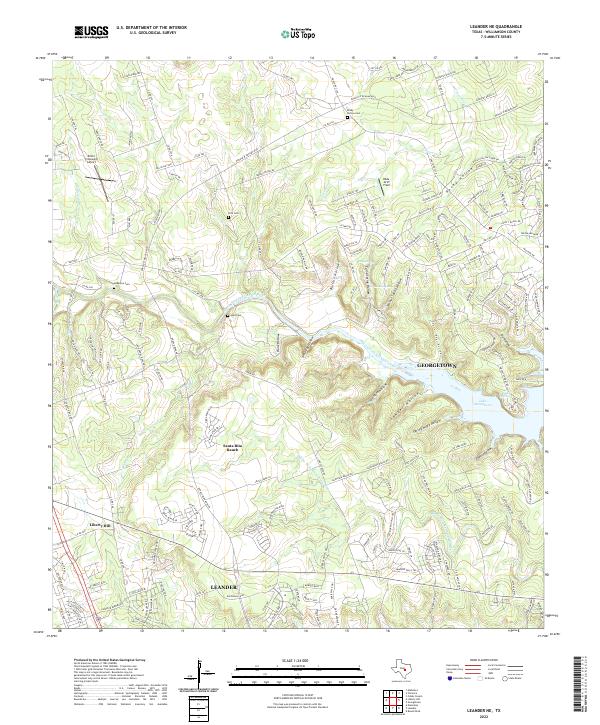 2022 Leander NE2022 Print · USGSWilliamson County is captured here during a period of rapid suburban expansion north of Austin. Genealogists and local historians can trace rural roots at Rocky Hollow Cem and Hunt Cem while observing the growth of Santa Rita Ranch.
 - 2022 Map of Thorndale, 2022 Print
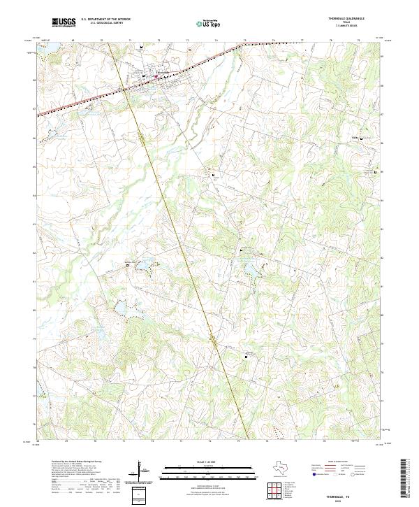 2022 Thorndale2022 Print · USGSThorndale and the surrounding rural communities on the Milam and Williamson county line are captured in this modern survey. Researchers can trace family history through a high density of burial sites including Salty Cem, Ramseur Cem, and Conoley Cem.
 - 2022 Map of Davilla, 2022 Print
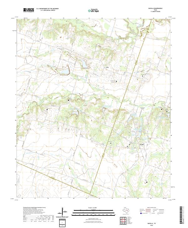 2022 Davilla2022 Print · USGSThe rural borderlands of Bell and Milam counties are captured here in the early 2020s, showing a landscape defined by farming and family heritage. Researchers can locate numerous burial grounds including Davilla Black Cem, Jackson Cem, and the Pruett Family Cem.
 - 2022 Map of Beaukiss, 2022 Print
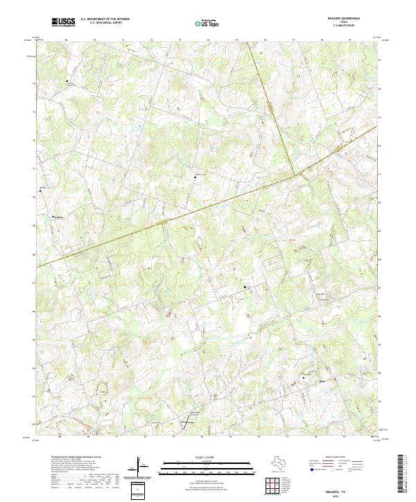 2022 Beaukiss2022 Print · USGSEastern Williamson and Lee counties are mapped here in the early twenty-first century, showcasing a landscape of rural crossroads and family-named creek branches. Genealogists can locate ancestral sites at Lawrence Chapel Cem, Beaukiss Cem, and the settlement of Blue.
 - 2022 Map of Ding Dong, 2022 Print
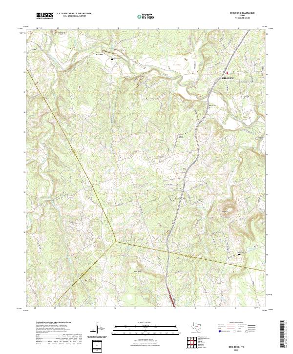 2022 Ding Dong2022 Print · USGSThe Lampasas River valley in Bell County comes into focus during this era of rural transition. Genealogists and historians can trace family roots through several local landmarks like Maxdale Cem, Mcbryde Cem, and the settlement at Maxdale.
 - 2022 Map of Youngsport, 2022 Print
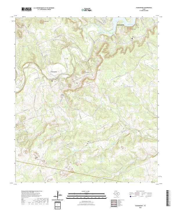 2022 Youngsport2022 Print · USGSThe Bell County countryside near the Lampasas River remains a landscape of family-named peaks and hidden springs in this recent survey. Genealogists and hikers can locate quiet rural landmarks like the Boone-Hamlin Cem, Horse Thief Mtn, and Warwick Springs.
 - 2022 Map of Pflugerville East, 2022 Print
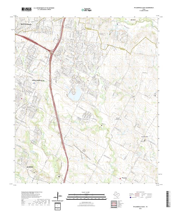 2022 Pflugerville East2022 Print · USGSThe rapid development of the Blackland Prairie east of Austin is documented here in the early 2020s. Researchers can trace family heritage at several historic sites including the New Sweden community, Pfluger Cem, and Prairie Hill Cem.
 - 2022 Map of Cobbs Cavern, 2022 Print
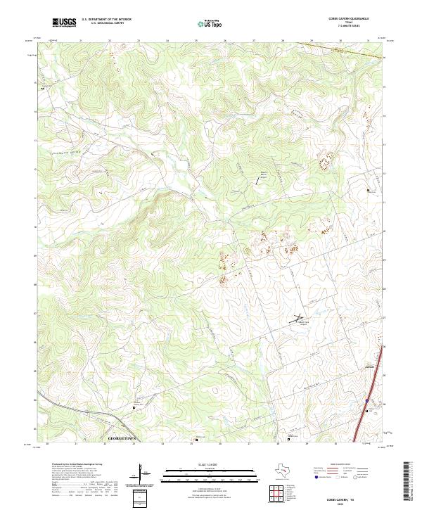 2022 Cobbs Cavern2022 Print · USGSNorth of the capital, the rural landscape between Jarrell and Georgetown was transitioning into a modern suburban network by the early 2020s. Researchers can trace family history at the Sullivan Family Cem or Lawler Cem and locate landmarks like Spears Ranch Airport.
 - 2022 Map of Mahomet, 2022 Print
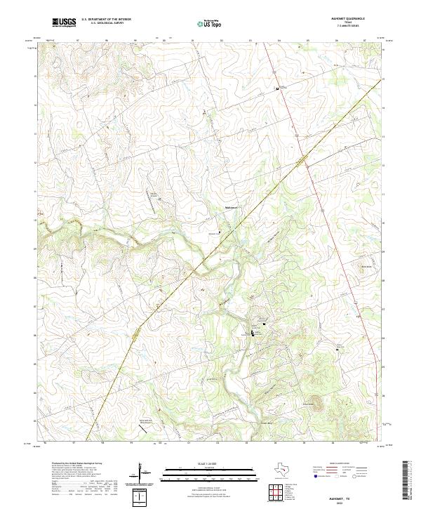 2022 Mahomet2022 Print · USGSThe Burnet and Williamson county line comes alive in this survey of the Mahomet area during its modern rural development. Family history researchers can locate several key burial sites including Gabriel Mills Cem, Mount Horeb Cem, and Mahomet Cem.
 - 2022 Map of Jarrell, 2022 Print
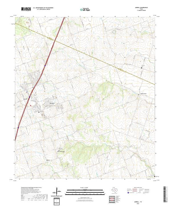 2022 Jarrell2022 Print · USGSNorth of Georgetown in the early 2020s, this area shows a landscape of traditional Texas farm communities adapting to modern growth. Genealogists can locate family sites near Corn Hill Cem, New Corn Hill, and the outlying Denson Cem.
 - 2022 Map of Structure, 2022 Print
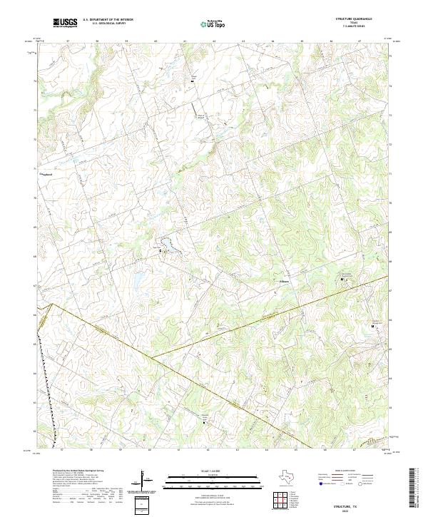 2022 Structure2022 Print · USGSThe rural crossroads of Williamson and Bastrop counties are captured here in the modern era, showing a landscape defined by creeks and family land. Genealogists can locate several historic burial grounds like Mager Cem and the community at Lawhon Springs.
 - 2022 Map of Liberty Hill, 2022 Print
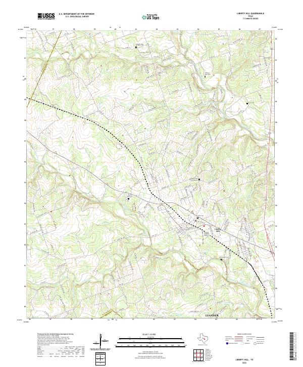 2022 Liberty Hill2022 Print · USGSLiberty Hill and the surrounding Texas Hill Country are captured here in a period of transition between its ranching roots and modern growth. Genealogists can locate several historic burial sites, including Williams-Buck Cem and Smith Cem, while aviators can find the Flying H Ranch Airport.
 - 2022 Map of Coupland, 2022 Print
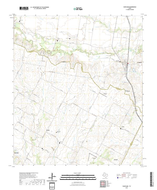 2022 Coupland2022 Print · USGSThis Williamson County prairie landscape preserves a network of rural settlements and family burial grounds in the early twenty-first century. Genealogists and local historians can trace the foundations of Manda, Lund, and Coupland while locating sites like Rices Crossing Cemetery and Wells School Road Cemetery.
 - 2022 Map of Hutto, 2022 Print
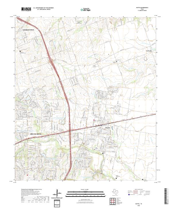 2022 Hutto2022 Print · USGSHutto and the blackland prairies of Williamson County appear in high detail during this recent era of rapid growth. Researchers can locate numerous family and community burial sites like Monadale Cem and Saul Cem along the banks of Boggy Cr.
 - 2022 Map of Pflugerville West, 2022 Print
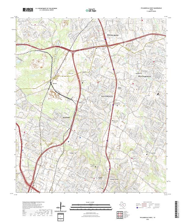 2022 Pflugerville West2022 Print · USGSThe northern edge of Austin meets the growth of Williamson County during a period of rapid suburban development. Genealogists and local historians can trace legacy sites like Merrilltown Cem, Dessau Lutheran Cem, and the settlement of McNeil.
 - 2022 Map of Granger, 2022 Print
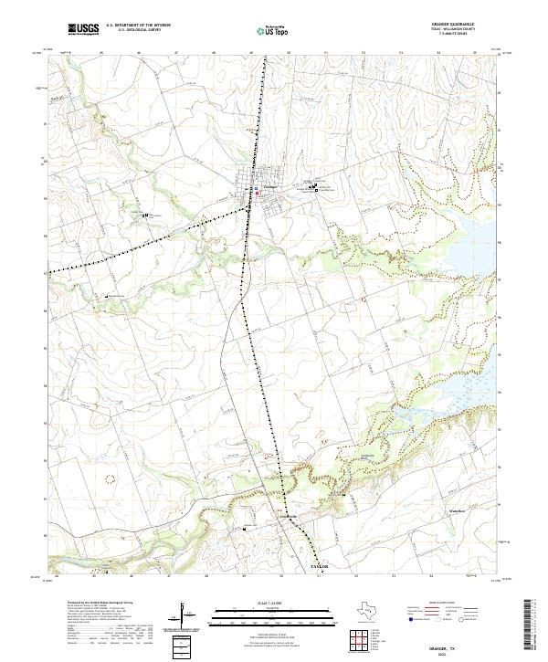 2022 Granger2022 Print · USGSThe blackland prairie of eastern Williamson County is captured here in the early twenty-first century, centered on the historic town of Granger. Genealogists can locate several family and community burial sites, from Allison Old Friendship Cem to the riverfront McFadin Cem near Comanche Bluff.
 - 2022 Map of Florence, 2022 Print
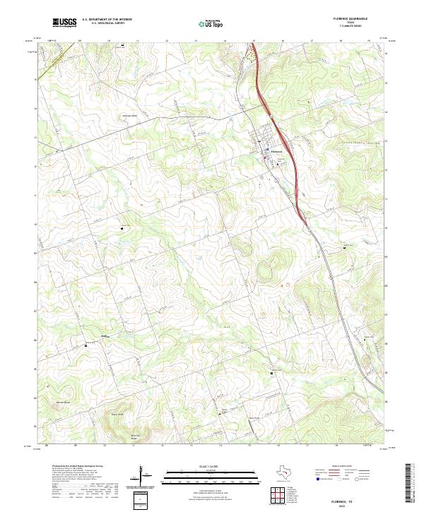 2022 Florence2022 Print · USGSNorthwest Williamson County's rural landscape is captured here during the early twenty-first century, centered on the community of Florence. Genealogists can trace family history through numerous small burial grounds, including Smart Cem, Matsler Cem, and Ratliff Cem.
 - 2022 Map of Taylor, 2022 Print
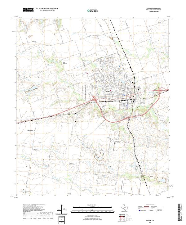 2022 Taylor2022 Print · USGSNear the height of its modern growth in Central Texas, this area showcases the evolving landscape of Williamson County. Trace family roots at Taylor City Cem or Wilson Spring Cem, and explore the drainage of Mustang Cr and Boggy Cr.
 - 2022 Map of Leander, 2022 Print
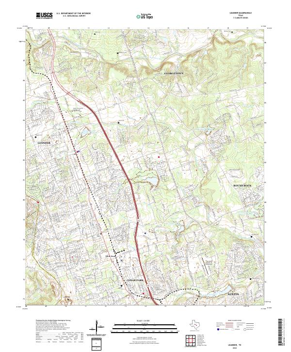 2022 Leander2022 Print · USGSThe rapid growth of the Austin metropolitan corridor in Williamson County is documented here during the early twenty-first century. Genealogists and local historians can locate numerous family burial sites like Wells Cem, Upchurch Cem, and Bagdad Cem.
Showing maps 1-25 of 30
Top cities of Williamson County
- Round Rock historical maps
- Georgetown historical maps
- Cedar Park historical maps
- Hutto historical maps
- Taylor historical maps
- Liberty Hill historical maps
See more
Frequently asked questions
- What are the different types of historical maps available for Williamson County?
- What is the oldest map of Williamson County?
- Where can I purchase historical maps of Williamson County for my home or office?
- Where can I download high-res historical maps of Williamson County?
- Are there historical topographic maps available for Williamson County?
- Is there historical aerial imagery available for Williamson County?
- Where are historical maps of Williamson County sourced from?