2000s (21st Century) Maps of Williamson County, Texas
Explore 150 historic maps of Williamson County from the 2000s (21st Century). These maps offer a rare glimpse into what life looked like during the 2000s — showing old roads, neighborhoods, homes, and landmarks that have changed or disappeared over time.
Whether you're researching your family's past, planning a metal detecting trip, or studying how Williamson County's landscape evolved across the 2000s, these high-resolution maps are a powerful tool for exploring the history of this region.
- Focus on a specific era: All maps on this page are from the 2000s, giving you a focused view of this time period.
- See what’s changed: Compare century-old streets, trails, and buildings to today's modern landscape using overlays and satellite layers.
- Research with precision: Use these maps for genealogy, historical research, land use analysis, or educational projects.
- View, download, or print: Maps are fully viewable online in high resolution, and can be downloaded or printed for your own records.
Start exploring Williamson County's history through authentic maps from the 2000s. This is your window into the past.
Williamson County, TX maps
(150)- 2010 Map of Nameless, 2010 Print
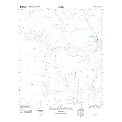 2010 Nameless2010 Print · USGSThe rural Hill Country outside Cedar Park is captured here during a period of modern ranching and residential growth. Genealogists can trace family footprints through Fairview Cemetery and Miller Cemetery or locate the uniquely named settlement of Nameless.
 - 2010 Map of Liberty Hill, 2010 Print
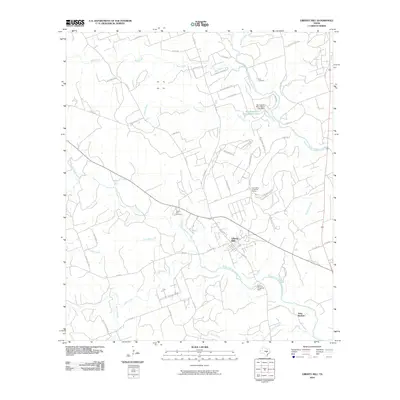 2010 Liberty Hill2010 Print · USGSLiberty Hill and the surrounding Texas Hill Country are shown here during a period of transition between rural ranching and suburban growth. Genealogists and local historians can locate specific sites including Buck Cemetery, Liberty Hill Cemetery, and the Cementerio de las Tres Marias.
 - 2010 Map of Bertram, 2010 Print
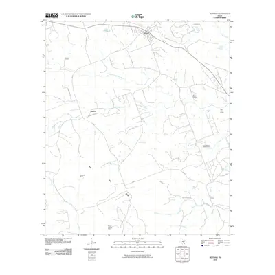 2010 Bertram2010 Print · USGSBertram and the surrounding Burnet County ranch lands are captured here during a period of steady rural character. Genealogists and local historians can locate Oatmeal, trace the South Fork San Gabriel River, and find several sites including Mount Zion Cemetery and Hopewell Cemetery.
 - 2010 Map of Jarrell, 2010 Print
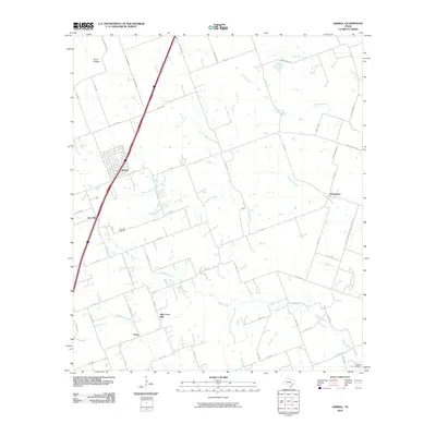 2010 Jarrell2010 Print · USGSNorth of Austin during the early 2010s, this area of Williamson County shows the enduring footprint of rural Texas settlements. Researchers can trace historical sites like the Corn Hill Cemetery, the community of Schwertner, and family-named routes such as Solana Ranch Rd.
 - 2010 Map of Leander, 2010 Print
 2010 Leander2010 Print · USGSTexas hill country suburbanization is in full swing here at the start of the century. Genealogists and local historians can trace family plots at Bagdad Cemetery or Bonnet Cemetery while exploring the evolving landscapes of Leander and Cedar Park.
 - 2010 Map of Cobbs Cavern, 2010 Print
 2010 Cobbs Cavern2010 Print · USGSWilliamson County ranch land meets new residential growth in the early twenty-first century as the countryside begins to subdivide. Researchers can trace family history at the Land Cemetery or locate landmarks like Sybert Farm Airport and Schoolhouse Hollow.
 - 2010 Map of Ding Dong, 2010 Print
 2010 Ding Dong2010 Print · USGSBell County ranch lands and river bends are captured here during a period of steady rural growth. Researchers can trace family-named landmarks like Tom Adams Hollow, find the curiously named Ding Dong, and locate local airstrips like Fisher Ranch Airport.
 - 2010 Map of Jollyville, 2010 Print
 2010 Jollyville2010 Print · USGSThe Northwest Austin suburbs were undergoing rapid growth a decade ago, as modern subdivisions filled the spaces between historic crossroads. Researchers can find long-standing local landmarks like Pond Springs Cemetery, Anderson Mill, and the Jollyville Plateau.
 - 2010 Map of Mahomet, 2010 Print
 2010 Mahomet2010 Print · USGSThe ranching country of Williamson County is captured here in the early twenty-first century, centered on the river-fed lands around the North Fork San Gabriel River. Genealogists can locate several historic burial sites, including Mount Horeb Cemetery and Gabriel Mills Cemetery.
 - 2010 Map of Florence, 2010 Print
 2010 Florence2010 Print · USGSThe rural landscapes of Williamson County are shown here in the early twenty-first century, centered on the historic community of Florence. Genealogists and local historians can trace family locations near several burial grounds including Smart Cemetery, Andice Cemetery, and Matsler Cemetery.
 - 2010 Map of Hutto, 2010 Print
 2010 Hutto2010 Print · USGSHutto and the surrounding Williamson County blackland prairie are captured here during a period of modern expansion. Researchers can trace the rural roots of the area through landmarks like Bell Gin and the extensive water management system including Soil Conservation Service Site 18 Reservoir.
 - 2010 Map of Weir, 2010 Print
 2010 Weir2010 Print · USGSWilliamson County at the start of the 21st century remains a landscape of rural communities and river-fed farmland. Genealogists and local historians can trace the roads connecting Walburg, Weir, and Jonah, or locate family landmarks near Queen Hill and the San Gabriel River.
 - 2010 Map of Travis Peak, 2010 Print
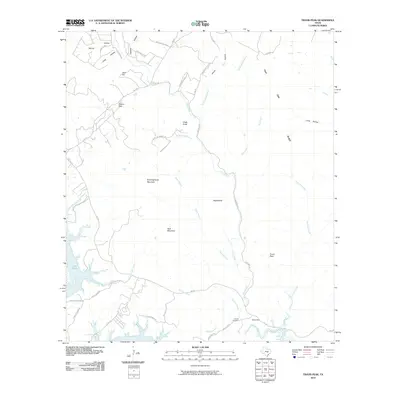 2010 Travis Peak2010 Print · USGSThe northern reaches of the Colorado River and Lake Travis are captured here during a period of transition in the Texas Hill Country. Genealogists and local historians can locate Hensel Cemetery and trace family-named landmarks like Boultinghouse Mountain and Tater Hill.
 - 2010 Map of Round Rock, 2010 Print
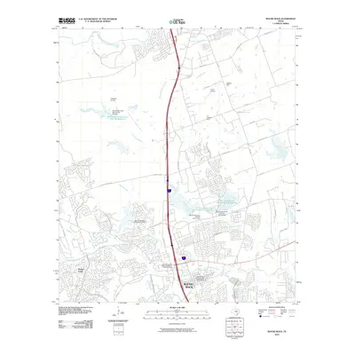 2010 Round Rock2010 Print · USGSRound Rock and its surrounding landscape are captured here during a phase of rapid suburban growth in the early twenty-first century. Genealogists and local historians can locate the Round Rock Post Office and William M Owen House, the J J Johnson Farm, and the Round Rock Commercial Historic District.
 - 2010 Map of Thrall, 2010 Print
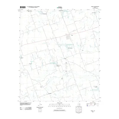 2010 Thrall2010 Print · USGSThe Williamson County oil fields and blackland prairies are shown here in the early 2000s, documenting a landscape of rural industry. Researchers can trace family history through the Beyersville Cemetery or locate petroleum sites like the Thrall Oil Field.
 - 2010 Map of Taylor, 2010 Print
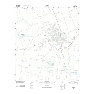 2010 Taylor2010 Print · USGSTaylor and the surrounding Williamson County plains are documented here in the early twenty-first century. Family historians can locate Saint Marys Cemetery, trace Mustang Creek, and explore the rural road network near Frame Switch.
 - 2010 Map of San Gabriel, 2010 Print
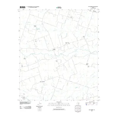 2010 San Gabriel2010 Print · USGSMilam County during the first decade of the 21st century remains a landscape of quiet rural settlements and ancestral family grounds. Genealogists and historians can trace numerous burial sites such as Locklin Cemetery and Liberty Hill Cemetery near the banks of the San Gabriel River.
 - 2010 Map of Davilla, 2010 Print
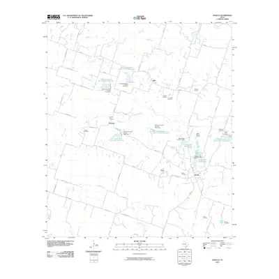 2010 Davilla2010 Print · USGSMilam County's rural landscape is captured here in the early twenty-first century, showcasing a transition from traditional farming to modern water conservation. Researchers can find several family and community landmarks, from Dripping Springs and Vilas to the Pruett Family Cemetery.
 - 2010 Map of Bartlett, 2010 Print
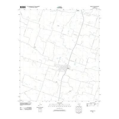 2010 Bartlett2010 Print · USGSBartlett and the surrounding Central Texas blacklands are shown here in the early twenty-first century as a landscape of family farms and creek-side settlements. Local historians can trace family roots through the Roucker Cemetery, Stockton Cemetery, and Bartlett Cemetery.
 - 2010 Map of Thorndale, 2010 Print
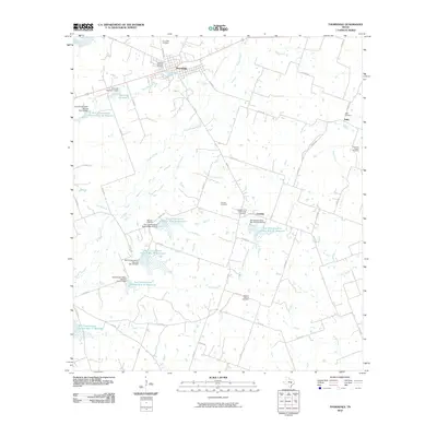 2010 Thorndale2010 Print · USGSThorndale and the surrounding Texas farmland are captured in the early twenty-first century, showcasing a landscape defined by soil conservation and family history. Researchers can locate numerous burial grounds like Ramseur Cemetery or trace the drainage of Brushy Creek.
 - 2010 Map of Granger Lake, 2010 Print
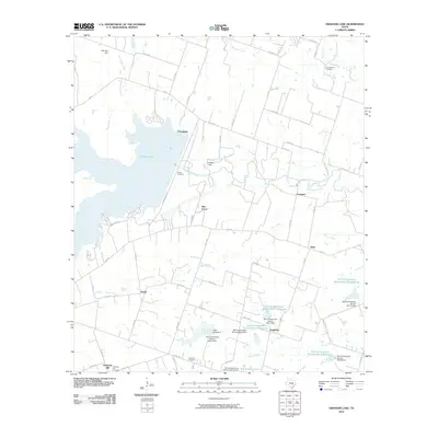 2010 Granger Lake2010 Print · USGSWilliamson County in the early 2010s shows a landscape defined by the San Gabriel River and extensive water management. Local historians can trace old community sites like Friendship and Sandoval or locate family plots at New Bern Cemetery.
 - 2010 Map of Granger, 2010 Print
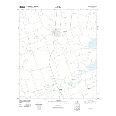 2010 Granger2010 Print · USGSGranger and its surrounding farmstead reaches appear here during the early twenty-first century as the local landscape balances traditional agriculture with significant water works. Genealogists can trace family burial sites from Calvary Cemetery to McFadin Cemetery, while tracing the paths of Willis Creek and the San Gabriel River.
 - 2010 Map of Coupland, 2010 Print
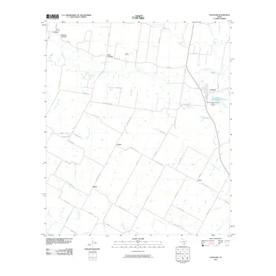 2010 Coupland2010 Print · USGSEastern Travis County and its agricultural heartland are detailed here in the early twenty-first century. Genealogists and local historians can trace the foundations of rural life through historic community centers like Coupland, Normans Crossing, and the Kimbro Cemetery.
 - 2010 Map of Beaukiss, 2010 Print
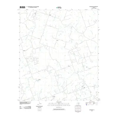 2010 Beaukiss2010 Print · USGSThis part of Williamson County was still a landscape of quiet crossroads and winding creek branches at the start of the decade. Genealogists and local historians can locate family burial sites like Guentzel Cemetery or trace the rural economy of Beaukiss and the Abbott Oil Field.
 - 2010 Map of Structure, 2010 Print
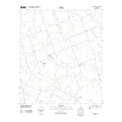 2010 Structure2010 Print · USGSThe rural Williamson County landscape is captured here in the early twenty-first century, showing a network of ranch roads and winding creeks. Researchers can locate family landmarks such as Mager Cemetery and Lawhon Springs Cemetery or the small settlements of Structure and Siloam.
Showing maps 1-25 of 150
Top cities of Williamson County
- Round Rock historical maps
- Georgetown historical maps
- Cedar Park historical maps
- Hutto historical maps
- Taylor historical maps
- Liberty Hill historical maps
See more
Frequently asked questions
- What are the different types of historical maps available for Williamson County?
- What is the oldest map of Williamson County?
- Where can I purchase historical maps of Williamson County for my home or office?
- Where can I download high-res historical maps of Williamson County?
- Are there historical topographic maps available for Williamson County?
- Is there historical aerial imagery available for Williamson County?
- Where are historical maps of Williamson County sourced from?