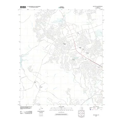
2010 Map of Jollyville
USGS Topo · Published 2010About this map
Pond Springs and Jollyville center this portrait of suburban expansion in Northwest Austin during the early 21st century. The map illustrates a dense network of residential subdivisions and major thoroughfares like FM 620 and W Parmer Ln that have transformed the former ranching landscape. Despite this development, several touchstones of local history remain preserved, including the Pond Springs Cemetery, Rhodes Cemetery, and the site of Anderson Mill. The geography is defined by the Balcones Escarpment, where the Jollyville Plateau drops away into the limestone-cut canyons of Bull Creek and West Bull Creek. Large-scale features like the Balcones Country Club Lake and its associated Balcones Country Club Lake Dam stand alongside newer commercial hubs near Four Points and the Balcones Post Office, showing the transition from rural crossroads to a fully integrated urban corridor.
Find a feature on this map
43 named features on this map. Tap any name to fly to it.
Don’t see what you’re looking for? This feature index may not catch every label — zoom into the map to look around manually.
Map Details
Editions of this 2010 Jollyville Map
This is the sole edition of this map. No revisions or reprints were ever made.
Other maps of this area

1893 · Georgetown
USGS Topo · 1:125,000

1896 · Austin
USGS Topo · 1:125,000

1897 · Austin
USGS Topo · 1:125,000

1910 · Austin
USGS Topo · 1:125,000

1928 · Round Rock
USGS Topo · 1:62,500

1930 · Austin-2
USGS Topo · 1:48,000

1932 · Mt. Bonnell
USGS Topo · 1:62,500

1949 · Round Rock
USGS Topo · 1:62,500

1951 · Round Rock
USGS Topo · 1:62,500

1954 · Austin East
USGS Topo · 1:24,000