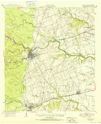
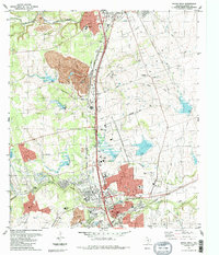
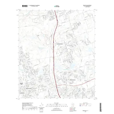
1951 Map of Round Rock
USGS Topo · Published 1951About this map
Georgetown serves as a central hub in this mid-century survey, where the convergence of the San Gabriel River forks meets a developing network of roads and rail. The landscape is defined by its agrarian roots and early industrial markers, such as the Bell Gin and the nearby Bell Sch. To the south, the map captures a distinct division between Round Rock and Old Round Rock, reflecting the shifting centers of commerce and settlement in Williamson County during this period.
Find a feature on this map
47 named features on this map. Tap any name to fly to it.
Don’t see what you’re looking for? This feature index may not catch every label — zoom into the map to look around manually.
Map Details
Editions of this 1951 Round Rock Map
This is the sole edition of this map. No revisions or reprints were ever made.
Historical Maps of Austin Through Time
10 maps found
1928 Round Rock
Williamson County, TX
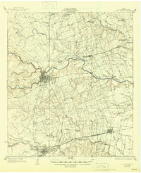
1949 Round Rock
Williamson County, TX
1951 Round Rock
Williamson County, TX
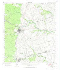
1982 Round Rock
Williamson County, TX
1987 Round Rock
Williamson County, TX
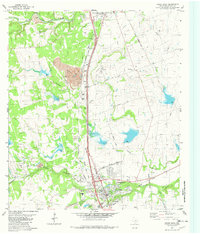
2010 Round Rock
Williamson County, TX
2013 Round Rock
Williamson County, TX
2016 Round Rock
Williamson County, TX
2019 Round Rock
Williamson County, TX
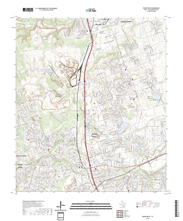
2023 Round Rock
Williamson County, TX