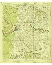
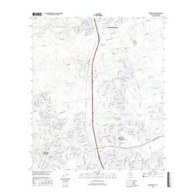
1928 Map of Round Rock
USGS Topo · Published 1928About this map
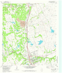
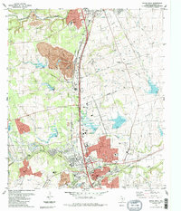
Georgetown serves as the focal point of this Central Texas landscape, situated at the confluence of the North Fork and South Fork San Gabriel River. The map illustrates a transitional era where the distinct original settlement at Old Round Rock remains clearly separated from the primary Round Rock rail station. Transportation networks define the county's layout, with the International Great Northern railroad cutting through the southern half, linking Burkland and Hutto.
Find a feature on this map
53 named features on this map. Tap any name to fly to it.
Don’t see what you’re looking for? This feature index may not catch every label — zoom into the map to look around manually.
Map Details
Editions of this 1928 Round Rock Map
2 editions found
Historical Maps of Austin Through Time
10 maps found
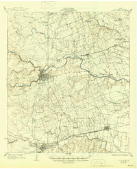
1928 Round Rock
Williamson County, TX
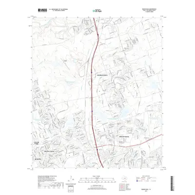
1949 Round Rock
Williamson County, TX
1951 Round Rock
Williamson County, TX
1982 Round Rock
Williamson County, TX
1987 Round Rock
Williamson County, TX
2010 Round Rock
Williamson County, TX
2013 Round Rock
Williamson County, TX
2016 Round Rock
Williamson County, TX
2019 Round Rock
Williamson County, TX
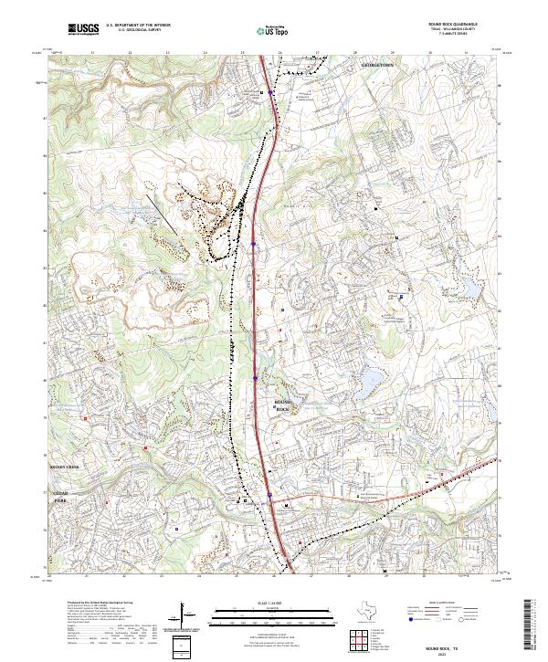
2023 Round Rock
Williamson County, TX