Old Maps of Nibley, Utah for Academic Research
Study the evolution of Nibley with 20 high-resolution historic maps. Whether you're teaching, researching, or modeling changes in land use, these maps provide essential visual documentation of urban, environmental, and geographic change.
- Analyze long-term change: Track patterns in development, transportation, and natural features.
- Ideal for environmental or urban studies: Support academic projects with primary historical map data.
- Use in the classroom or lab: Educators and researchers rely on these maps to bring historical context to life.
These maps are a powerful tool for teaching, research, and visualizing how Nibley has changed over the decades.
Nibley, UT maps
(20)- 1914 Map of Logan, 1957 Print
 1914 Logan1957 Print · USGSCache Valley thrives in the early nineteen-hundreds as a hub of rail travel and sugar beet processing. Genealogists can locate family homesteads near Stephenson School, trace the Oregon Short Line, or find remote operations like the Amazon Mine.
 - 1916 Map of Logan
 1916 Logan1916 Print · USGSCache Valley and the northern Wasatch Range come alive in this mid-1910s survey, showing the peak of the local rail-and-sugar economy. Genealogists can locate family holdings like Hardware Ranch, early rural sites like Stephenson School, and the industrial Sugar Factory.4 unique versions available
 - 1954 Map of Ogden, 1967 Print
 1954 Ogden1967 Print · USGSThe northern Utah corridor and Wyoming borderlands are captured here in the mid-1950s, showing the region's transition from mountain wilderness to settled valleys. Researchers can trace historic institutions like Utah State University or locate vanished points like Church Butte Station and the Trappist Monastery.3 unique versions available
 - 1958 Map of Ogden
 1958 Ogden1958 Print · USGSNorthern Utah and southwestern Wyoming are captured here during a period of steady growth and military expansion. You can trace the Union Pacific rail lines and early road networks connecting Ogden and Logan to Bear Lake and Evanston.
 - 1960 Map of Ogden
 1960 Ogden1960 Print · USGSIn the mid-1950s, this region of the American West balanced military expansion with frontier history along the Union Pacific RR. Genealogists and historians can trace old settlements like Fort Bridger, the residential growth of Washington Terrace, and industrial sites from the Hill AFB complex to the coal mines of Kemmerer.
 - 1961 Map of Logan, 1963 Print
 1961 Logan1963 Print · USGSCache Valley thrives in the early sixties as a center of faith and industry, from the mountain-framed streets of Logan to the waters of Hyrum Reservoir. Genealogists and historians can trace family ties at the Logan Cemetery or locate landmarks like the Molasses Sugar Factory and South Cache High Sch.3 unique versions available
 - 1962 Map of Wellsville, 1963 Print
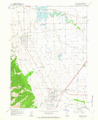 1962 Wellsville1963 Print · USGSCache Valley agriculture and mountain terrain meet in the early 1960s as irrigation canals and rail lines connect established communities. Researchers can trace the Union Pacific route through Mendon and Wellsville or locate local landmarks like Pelican Pond and the Wellsville Res.3 unique versions available
 - 1984 Map of Logan, 1985 Print
 1984 Logan1985 Print · USGSNorthern Utah and its borderlands with Idaho and Wyoming are shown here in the mid-1980s as the Cache Valley communities grew. Researchers can trace the Union Pacific rail lines and find legacy sites like College Ward, Pickleville, and Utah State University.3 unique versions available
 - 1998 Map of Logan, 2001 Print
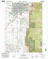 1998 Logan2001 Print · USGSThe Cache Valley at the close of the twentieth century shows a region of steady growth between the mountains and the river. Genealogists and historians can trace neighborhood developments near Logan Temple and locate local landmarks like the Whittier Sch or the Historical Monument in Nibley.
 - 1998 Map of Wellsville, 2001 Print
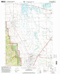 1998 Wellsville2001 Print · USGSCache Valley at the close of the century shows a landscape where irrigation and industry meet the mountain wilderness. Researchers can trace the legacy of early settlements through sites like Mendon Cem, the Salt Lake City and Northern rail line, and Greens Corner.
 - 2011 Map of Logan, 2011 Print
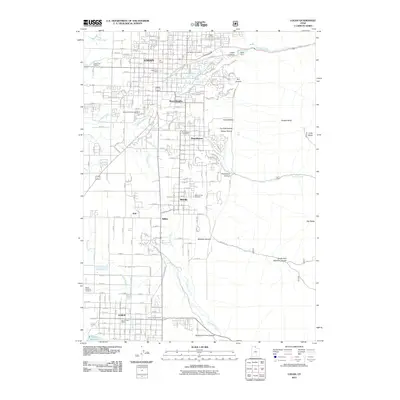 2011 Logan2011 Print · USGSCache Valley's urban and agricultural heart is captured here in the early 2000s, stretching from the Utah State University campus down to the Hyrum Reservoir. Researchers can trace local genealogy at the Logan Cemetery or locate industrial sites like the Miller Brothers Feedyard.
 - 2011 Map of Wellsville, 2011 Print
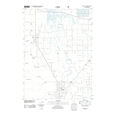 2011 Wellsville2011 Print · USGSCache Valley in the early twenty-first century reveals a landscape where the Wellsville Mountains meet the waters of the Little Bear River. Researchers can trace family roots at the Wellsville Cemetery and Mendon City Cemetery or locate the Wellsville Post Office.
 - 2014 Map of Wellsville, 2014 Print
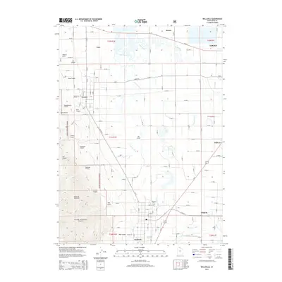 2014 Wellsville2014 Print · USGSCache Valley's agricultural and alpine character is captured here in the mid-2010s, from the steep Wellsville Mountains to the fertile lowlands. Researchers can locate family sites near Wellsville Cem or trace water rights along the Wellsville Canal.
 - 2014 Map of Logan, 2014 Print
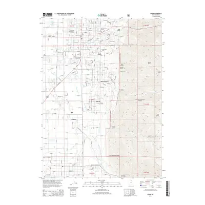 2014 Logan2014 Print · USGSCache Valley in the early twenty-first century shows a vibrant transition from the academic hub of Logan to the peaks of the Cache National Forest. Trace local history through the Logan City Cem, Utah State University, and the waters of the Blacksmith Fork.
 - 2017 Map of Logan, 2017 Print
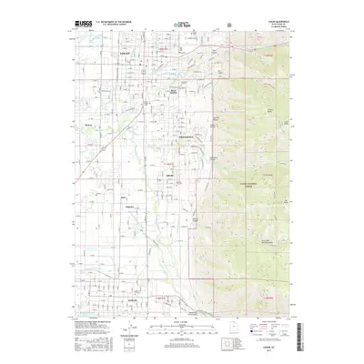 2017 Logan2017 Print · USGSCache Valley at the turn of the decade shows the close integration of historic settlements and the surrounding wilderness. Trace the irrigation network from Blacksmith Fork-Nibley Canal to the banks of the Hyrum Reservoir while locating family sites at Logan Cem.
 - 2017 Map of Wellsville, 2017 Print
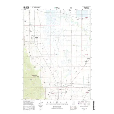 2017 Wellsville2017 Print · USGSThe Cache Valley at the foot of the Wellsville Mountains is captured here in a period of modern agricultural continuity. Genealogists and historians can trace cemetery locations like Wellsville Cem and follow the intricate irrigation paths of the Wellsville-Mendon Lower Canal.
 - 2020 Map of Logan, 2020 Print
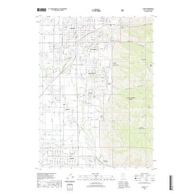 2020 Logan2020 Print · USGSThe Cache Valley at the turn of the decade shows a sophisticated interface between the growing city of Logan and its alpine neighbors. Local historians can trace the vital irrigation networks of the Smithfield Canal and Blacksmith Fork alongside early burial grounds like Hyrum City Cem.
 - 2020 Map of Wellsville, 2020 Print
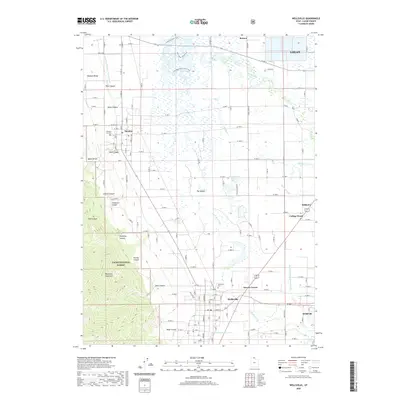 2020 Wellsville2020 Print · USGSCache Valley agriculture and the steep eastern slopes of the Wasatch Range meet in this modern survey of the Wellsville area. Local historians can trace water rights and recreation along the Blacksmith Fork Hyrum Canal and the Little Bear River Canoe Trail.
 - 2023 Map of Wellsville, 2023 Print
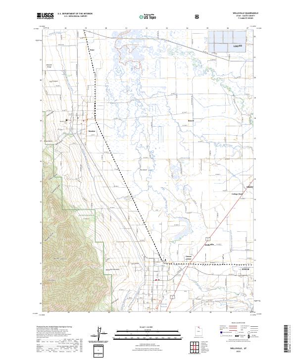 2023 Wellsville2023 Print · USGSCache Valley agriculture and the steep slopes of the Wasatch Range meet in this contemporary survey of northern Utah. Genealogists and local historians can trace family locations near Wellsville Cem, Mendon, and the rural crossroads at Greens Corner.
 - 2023 Map of Logan, 2023 Print
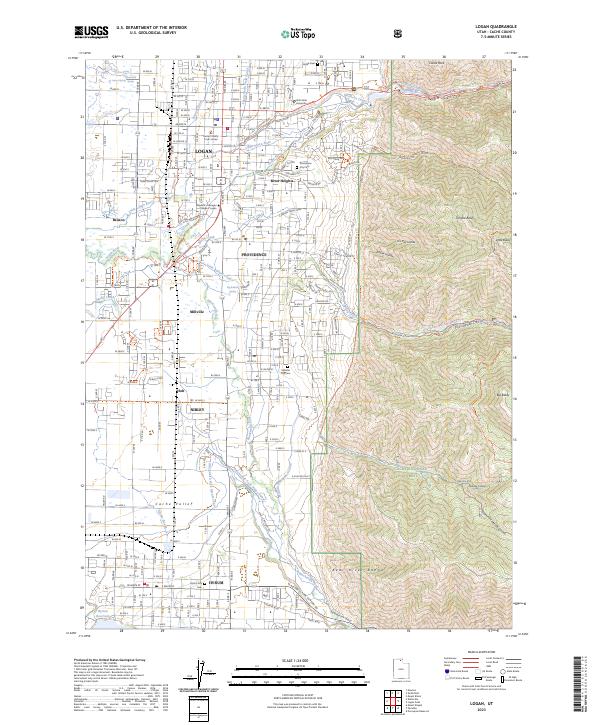 2023 Logan2023 Print · USGSThe Cache Valley at the foot of the Bear River Range is shown here in its modern context, from the Utah State University campus to the Hyrum Reservoir. Genealogists and historians can trace local landmarks like Logan Cem and the Cache County Court House alongside the region's historic canal systems.
End of results
Showing maps 1-20 of 20
Top cities near Nibley
- Logan historical maps
- Brigham City historical maps
- Hyrum historical maps
- North Logan historical maps
- Smithfield historical maps
- Providence historical maps
See more
Top neighborhoods of Nibley
Frequently asked questions
- What are the different types of historical maps available for Nibley?
- What is the oldest map of Nibley?
- Where can I purchase historical maps of Nibley for my home or office?
- Where can I download high-res historical maps of Nibley?
- Are there historical topographic maps available for Nibley?
- Is there historical aerial imagery available for Nibley?
- Where are historical maps of Nibley sourced from?