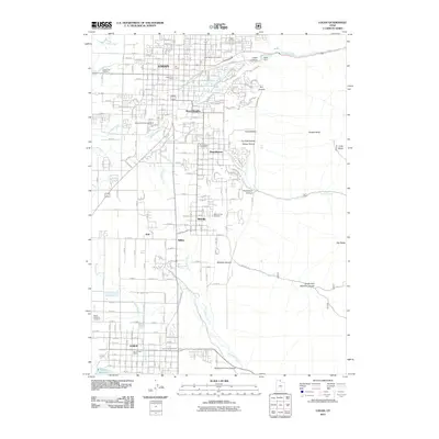
2011 Map of Logan
USGS Topo · Published 2011About this map
Utah State University anchors the northern landscape of this Cache Valley study, situated where the Logan River emerges from Logan Canyon. The urban corridor stretches south through Logan, River Heights, and Providence, revealing a dense grid of residential and commercial growth during the early twenty-first century. This developed belt is bounded to the east by the dramatic rise of the Bear River Range, featuring landmarks like Temple Baldy and the rugged depths of Providence Canyon.
Find a feature on this map
39 named features on this map. Tap any name to fly to it.
Don’t see what you’re looking for? This feature index may not catch every label — zoom into the map to look around manually.
Map Details
Editions of this 2011 Logan Map
This is the sole edition of this map. No revisions or reprints were ever made.
Other maps of this area

1914 · Logan
USGS Topo · 1:125,000

1916 · Logan
USGS Topo · 1:125,000

1954 · Ogden
USGS Topo · 1:250,000

1955 · Paradise
USGS Topo · 1:24,000

1955 · Mount Pisgah
USGS Topo · 1:24,000

1958 · Ogden
USGS Topo · 1:250,000

1960 · Ogden
USGS Topo · 1:250,000

1961 · Logan
USGS Topo · 1:24,000
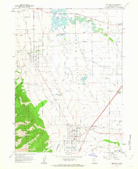
1962 · Wellsville
USGS Topo · 1:24,000
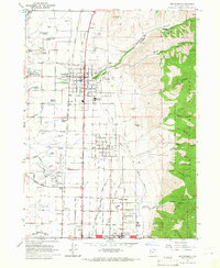
1964 · Smithfield
USGS Topo · 1:24,000