1970s Maps of Carbon County, Utah
Explore 19 historic maps of Carbon County from the 1970s. These maps offer a rare glimpse into what life looked like during the 1970s — showing old roads, neighborhoods, homes, and landmarks that have changed or disappeared over time.
Whether you're researching your family's past, planning a metal detecting trip, or studying how Carbon County's landscape evolved across the 1970s, these high-resolution maps are a powerful tool for exploring the history of this region.
- Focus on a specific era: All maps on this page are from the 1970s, giving you a focused view of this time period.
- See what’s changed: Compare century-old streets, trails, and buildings to today's modern landscape using overlays and satellite layers.
- Research with precision: Use these maps for genealogy, historical research, land use analysis, or educational projects.
- View, download, or print: Maps are fully viewable online in high resolution, and can be downloaded or printed for your own records.
Start exploring Carbon County's history through authentic maps from the 1970s. This is your window into the past.
Carbon County, UT maps
(19)- 1972 Map of Sunnyside, 1976 Print
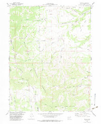
 1972 Sunnyside1976 Print · USGSThe coal-mining corridor of eastern Utah is shown here in the early 1970s as a thriving industrial landscape. Local historians can trace the rail connections at Columbia Junction or locate family sites near Coke Ovens, the Cem, and East Carbon City.2 unique versions available
 - 1972 Map of Pine Canyon, 1976 Print
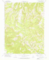
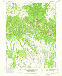
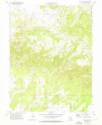 1972 Pine Canyon1976 Print · USGSCarbon County’s canyon country is documented in the early seventies, showing a landscape defined by resource exploration and ranching trails. Trace historical mining activity at the Mine and Prospects or follow the waters of Nine Mile Creek and Pace Creek.2 unique versions available
 - 1972 Map of Wellington, 1976 Print
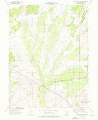
 1972 Wellington1976 Print · USGSWellington sat at the junction of rail and river in Carbon County during the early seventies. Local historians can trace the paths of the Denver and Rio Grande Western and find community landmarks like the Rodeo Ground and Cem.2 unique versions available
 - 1972 Map of Bruin Point, 1976 Print
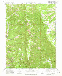
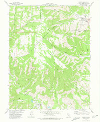
 1972 Bruin Point1976 Print · USGSEastern Utah's high plateau country is documented here in the early seventies, featuring the complex terrain of the Carbon County highlands. Researchers can trace remote industrial activity at Mines and Bruin Point or locate isolated water sources like Tidwell Spring and Maverick Spring.2 unique versions available
 - 1972 Map of Patmos Head, 1976 Print
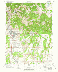
 1972 Patmos Head1976 Print · USGSThe mining and ranching country of Carbon County comes into focus in the early 1970s. Local researchers can trace industrial sites like the Sunnyside Mine or find seasonal landmarks such as the North Willow Spring Cow Camp.2 unique versions available
 - 1972 Map of Mount Bartles, 1976 Print
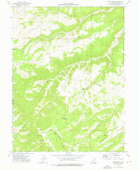
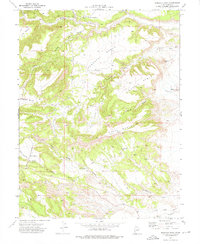
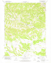
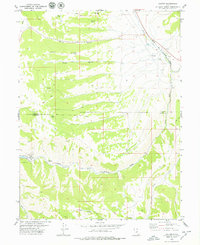
 1972 Mount Bartles1976 Print · USGSCarbon County’s high ridges and deep drainages are captured here in the early 1970s during a period of active geological exploration. Researchers can trace remote PACK TRAIL routes and locate industrial artifacts like a Mine and Drill Hole near Mount Bartles.
 - 1972 Map of Sunnyside Junction, 1976 Print
 1972 Sunnyside Junction1976 Print · USGSCarbon County in the early seventies shows a landscape where industrial infrastructure meets ranching tradition. Trace the old Denver and Rio Grande Western rail line near Sunnyside Junction or find family landmarks like Big Spring Ranch.
 - 1972 Map of Pinnacle Peak, 1976 Print
 1972 Pinnacle Peak1976 Print · USGSCarbon County’s industrial landscape comes into focus in the early 1970s, showcasing the intersection of the coal-carrying rail network and the high plateau country. Trace the path of the Utah Railway through Wattis Junction or follow an Old Railroad Grade across Serviceberry Creek.2 unique versions available
 - 1972 Map of Deadman Canyon, 1976 Print
 1972 Deadman Canyon1976 Print · USGSCarbon County in the early seventies is a landscape of high meadows and mining prospects. Researchers can trace resource infrastructure and early routes through Deadman Canyon, following landmarks like the Knight (Ideal) Mine and the PIPELINE.2 unique versions available
 - 1972 Map of Standardville, 1976 Print
 1972 Standardville1976 Print · USGSCarbon County’s coal heritage is on full display in the early seventies, centered on the company towns of Spring Canyon. Researchers can trace the industrial footprint of the Standardville Tipple and the Utah Railway through camps like Latuda and Mutual.
 - 1972 Map of Helper, 1976 Print
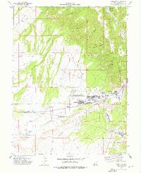
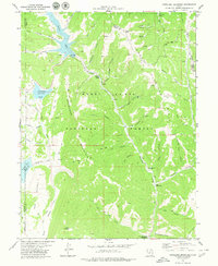
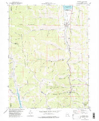
 1972 Helper1976 Print · USGSCarbon County’s industrial heartland is documented here in the early seventies, centered on the rail hubs and coal camps of the Book Cliffs. Genealogists and researchers can trace family roots at Mountain View Cem or locate the workings of the Aberdeen Mine and Kenilworth.3 unique versions available
 - 1972 Map of Price, 1977 Print
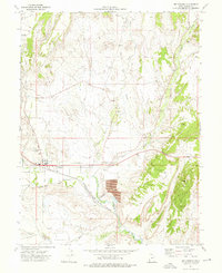
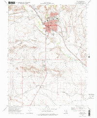 1972 Price1977 Print · USGSThe Carbon County seat at Price is shown here in the early 1970s, flourishing as a rail and education hub along the Price River. Researchers can trace the mid-century city layout, from the College of Eastern Utah to the Whitmore Cem and the Denver and Rio Grande Western tracks.2 unique versions available
 - 1978 Map of Hiawatha, 1979 Print
 1978 Hiawatha1979 Print · USGSThe coal country of Carbon and Emery Counties comes to life in this late-seventies survey of the Wasatch Plateau. Researchers can trace the rail-and-mine network connecting the Hiawatha and Mohrland settlements to the Hiawatha Mine and the Utah Railway.
 - 1978 Map of Scofield Reservoir, 1979 Print
 1978 Scofield Reservoir1979 Print · USGSThe high Utah plateau during the late 1970s reveals a landscape of industrial transitions and mountain recreation. Follow the Old Railroad Grade past The Backswitch or locate legacy sites like Bennion and the Bear Prospect.
 - 1979 Map of Colton
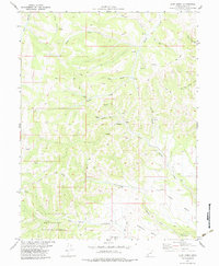
 1979 Colton1979 Print · USGSCarbon and Utah counties are captured in the late seventies, showing the industrial pulse of the high plateau. Genealogists and historians can trace the rail lines of the Denver and Rio Grande Western through Colton or locate specific Quarries and Prospects.2 unique versions available
 - 1979 Map of Candland Mountain
 1979 Candland Mountain1979 Print · USGSThe high ridges of the Manti-La Sal National Forest are captured here in the late seventies during a period of active water storage and resource use. Researchers can trace historic access routes via the Pack Trail to landmarks like the Stuart Guard Station and the Old Fireside Mine.
 - 1979 Map of Jump Creek, 1983 Print
 1979 Jump Creek1983 Print · USGSCarbon County's high canyon country is documented here in the late seventies as industrial mining and national forest lands overlap. Researchers can locate remote resource sites like Swisher Mine and trace early routes across Telephone Bench or through Coal Canyon.
 - 1979 Map of Wattis, 1983 Print
 1979 Wattis1983 Print · USGSThe coal country of Carbon and Emery Counties is captured here in the late seventies, showing the industrial pulse of the Wasatch Plateau. Researchers can trace the rail-to-mine network at Wattis and the Plateau Mine, or explore remote landmarks like Star Point and The Steeps.
 - 1979 Map of Scofield, 1983 Print
 1979 Scofield1983 Print · USGSThe coal mining corridor of Carbon County is captured here in the late seventies, showing the industrial pulse of Scofield and Clear Creek. Genealogists and historians can trace the Denver and Rio Grande Western rail line, old workings like the Old Black Diamond Mine, and the local Cem.
End of results
Showing maps 1-19 of 19
Top cities of Carbon County
Frequently asked questions
- What are the different types of historical maps available for Carbon County?
- What is the oldest map of Carbon County?
- Where can I purchase historical maps of Carbon County for my home or office?
- Where can I download high-res historical maps of Carbon County?
- Are there historical topographic maps available for Carbon County?
- Is there historical aerial imagery available for Carbon County?
- Where are historical maps of Carbon County sourced from?