2020s Maps of Carbon County, Utah
Explore 84 historic maps of Carbon County from the 2020s. These maps offer a rare glimpse into what life looked like during the 2020s — showing old roads, neighborhoods, homes, and landmarks that have changed or disappeared over time.
Whether you're researching your family's past, planning a metal detecting trip, or studying how Carbon County's landscape evolved across the 2020s, these high-resolution maps are a powerful tool for exploring the history of this region.
- Focus on a specific era: All maps on this page are from the 2020s, giving you a focused view of this time period.
- See what’s changed: Compare century-old streets, trails, and buildings to today's modern landscape using overlays and satellite layers.
- Research with precision: Use these maps for genealogy, historical research, land use analysis, or educational projects.
- View, download, or print: Maps are fully viewable online in high resolution, and can be downloaded or printed for your own records.
Start exploring Carbon County's history through authentic maps from the 2020s. This is your window into the past.
Carbon County, UT maps
(84)- 2020 Map of Firewater Canyon North, 2020 Print
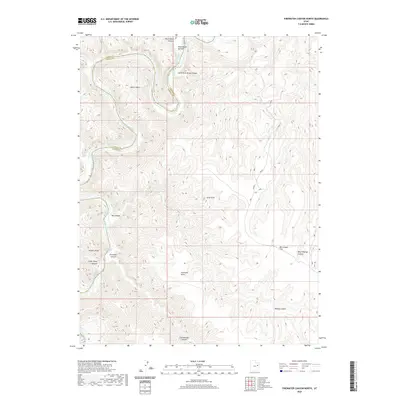 2020 Firewater Canyon North2020 Print · USGSThe Green River corridor in Eastern Utah is documented in this recent survey, capturing the river's path along the Carbon and Uintah county line. River runners and historians can trace the precise locations of Jack Creek Rapids, Rock House Bottom, and high-elevation landmarks like Peters Point.
 - 2020 Map of Nutters Hole, 2020 Print
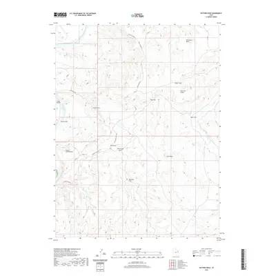 2020 Nutters Hole2020 Print · USGSThe high desert canyons and the winding Green River define this Uintah County landscape in the 2020s. Researchers can trace remote routes and natural landmarks like Nutters Hole, the unique formation of The Wrinkles, and the deep Sumner Amphitheater.
 - 2020 Map of Duches Hole, 2020 Print
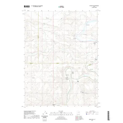 2020 Duches Hole2020 Print · USGSThe high plateaus and deep river canyons of the Uintah Basin are captured here in the early twenty-first century. Researchers can trace the winding Green River as it passes through Duches Hole and past isolated river flats like Maverick Bottom and Boat Bottom.
 - 2020 Map of Olsen Reservoir, 2020 Print
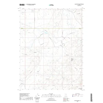 2020 Olsen Reservoir2020 Print · USGSThe high desert of Emery County is captured here in the modern era, revealing the remote settlement patterns and vital water networks of the region. Genealogists and local historians can locate the Victor Cem and trace livestock history at the Marsing/Hansen Ranch or Olsen Reservoir.
 - 2020 Map of Price, 2020 Print
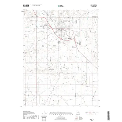 2020 Price2020 Print · USGSThe regional hub of Price and its surrounding coal-country settlements are detailed in this modern survey. Researchers can trace irrigation networks like the Carbon Canal and find several local burial grounds including Meade Cem and Price City Cem.
 - 2020 Map of Sunnyside Junction, 2020 Print
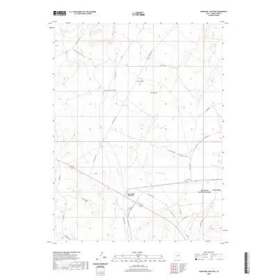 2020 Sunnyside Junction2020 Print · USGSCarbon County's high desert landscape comes into focus in this recent survey of the settlements near the Book Cliffs. Researchers can locate the Kiz Cem, trace the corridors of Sunnyside Rd, and explore the canyon drainages of Rock Cr and Grassy Trail Cr.
 - 2020 Map of Pinnacle Peak, 2020 Print
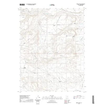 2020 Pinnacle Peak2020 Print · USGSCarbon County’s industrial and desert landscape is shown here in the contemporary era, centered on the transit hub of Wattis Junction. Researchers can trace the extensive service roads and canyons of the region, including Pinnacle Peak, Serviceberry Canyon, and the sprawling Porphyry Bench.
 - 2020 Map of Wood Canyon, 2020 Print
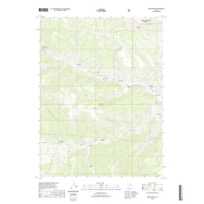 2020 Wood Canyon2020 Print · USGSDuchesne and Carbon counties meet along a high mountain ridge during the early twenty-first century. Researchers can trace the winding paths of Nine Mile Canyon Rd and Argyle Canyon Rd as they navigate between the Bad Land Cliffs and Sheep Canyon.
 - 2020 Map of Steer Ridge Canyon, 2020 Print
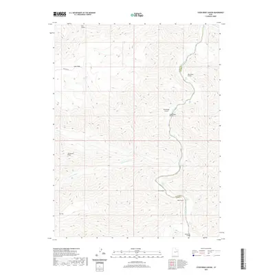 2020 Steer Ridge Canyon2020 Print · USGSThe Green River carves through the Uintah County wilderness in this recent topographical study of the high desert. Outdoor enthusiasts and geographers can trace the river's turbulent path through Desolation Canyon, locating specific whitewater such as Cabin Rapids and Three Canyon Rapids.
 - 2020 Map of Bruin Point, 2020 Print
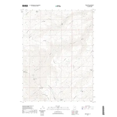 2020 Bruin Point2020 Print · USGSThe high country of the West Tavaputs Plateau is documented here as it appeared in 2020. Researchers can trace remote routes and water sources like Burnt Cabin Spring, Stone Cabin Cr, and the summit of Bruin Point.
 - 2020 Map of Helper, 2020 Print
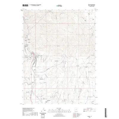 2020 Helper2020 Print · USGSThe industrial corridor of Carbon County is shown here in the early twenty-first century as it follows the Price River through the mountains. Researchers can trace numerous local burial grounds like Haycock Cem and Garley Cem or explore the old mining town of Kenilworth.
 - 2020 Map of Currant Canyon, 2020 Print
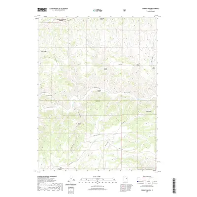 2020 Currant Canyon2020 Print · USGSDuchesne and Carbon Counties are captured here in 2020, showing a landscape defined by industrial gas extraction and high-plateau drainage. Researchers can trace the boundaries of the Stone Cabin Gas Field and old routes through Ninemile Canyon and Bad Land Cliffs.
 - 2020 Map of Chandler Falls, 2020 Print
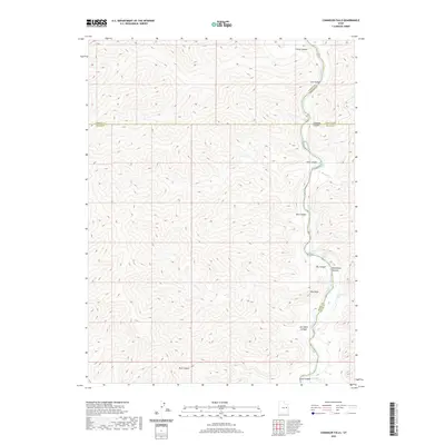 2020 Chandler Falls2020 Print · USGSThe Green River corridor in eastern Utah is shown here at the meeting of four counties during the late twenty-teens. Researchers and river runners can trace named whitewater landmarks such as Chandler Rapids and Joe Hatch Canyon Rapids through Desolation Canyon.
 - 2020 Map of Elmo, 2020 Print
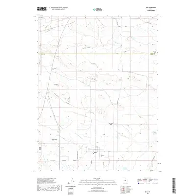 2020 Elmo2020 Print · USGSThe rural landscape of Emery County is defined here by the small community of Elmo and its network of vital irrigation canals. Researchers can trace family history through the Elmo Cem and follow the seasonal water paths of Wildcat Draw and Desert Lake.
 - 2020 Map of Minnie Maud Creek West, 2020 Print
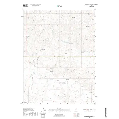 2020 Minnie Maud Creek West2020 Print · USGSThe high plateaus and deep canyons of the Duchesne-Carbon county line are captured here in the early twenty-first century. Researchers can trace remote ranching landmarks like Orson Bedground and travel corridors through Emma Park and along Minnie Maud Cr.
 - 2020 Map of Cowboy Bench, 2020 Print
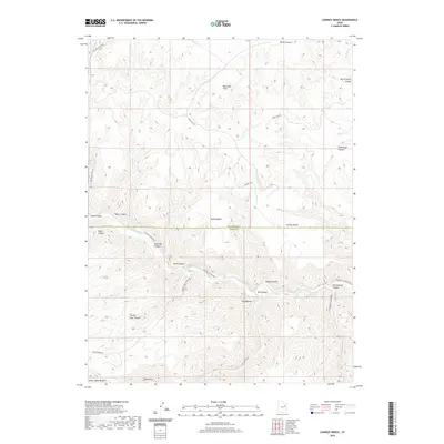 2020 Cowboy Bench2020 Print · USGSDuchesne and Carbon counties are shown here in the 2020s, highlighting the dramatic canyon systems of the West. Researchers can trace historic routes and landmarks such as Ninemile Canyon, the unique formation of The Mummy, and Stone Cabin Draw.
 - 2020 Map of Minnie Maud Creek East, 2020 Print
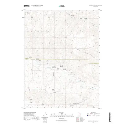 2020 Minnie Maud Creek East2020 Print · USGSHigh desert ridges and canyons along the Duchesne-Carbon county line are mapped here in the early twenty-first century. Genealogists and historians can trace traditional upland routes like the Twist Trail and identify family-named landmarks such as Sorenson Draw and Jenson Canyon.
 - 2020 Map of Cedar Ridge Canyon, 2020 Print
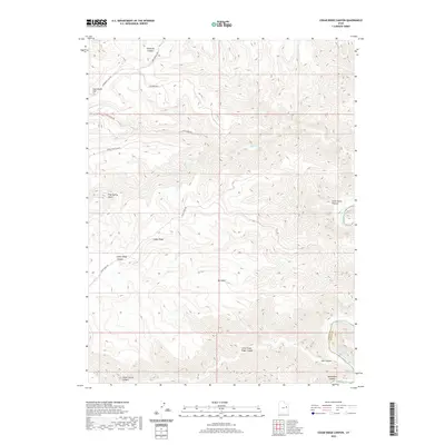 2020 Cedar Ridge Canyon2020 Print · USGSDesolation Canyon and the high plateaus of Uintah County are captured here in the early twenty-first century. Researchers can trace the rugged drainage patterns of Cedar Ridge Canyon and Pinnacle Canyon down to the Green River.
 - 2020 Map of Pinnacle Canyon, 2020 Print
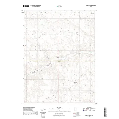 2020 Pinnacle Canyon2020 Print · USGSThe border of Duchesne and Carbon counties comes alive in this contemporary record of its deep canyons and high benches. Genealogists and historians can trace the access routes through Ninemile Canyon and Pinnacle Canyon, or locate family-named landmarks like Desbrough Canyon and Rock House Canyon.
 - 2020 Map of Twin Hollow, 2020 Print
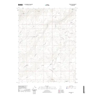 2020 Twin Hollow2020 Print · USGSCarbon County's high-plateau landscape is mapped here in the modern era, showing the network of ridge-top roads and vital water sources used by locals. Researchers can trace historical grazing and access routes via Horse Haven Summit, Buckhorn Spring, and the winding Cottonwood Ridge Rd.
 - 2020 Map of Wellington, 2020 Print
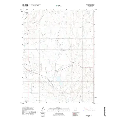 2020 Wellington2020 Print · USGSThe Carbon County high desert comes into focus in this recent survey, centered on the river-and-rail corridor near the Wellington settlement. Researchers can trace the layout of the Wellington City Cem and locate local landmarks like Cat Canyon and the Price River.
 - 2020 Map of Summerhouse Ridge, 2020 Print
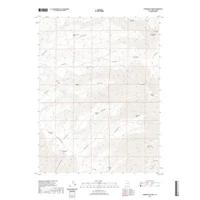 2020 Summerhouse Ridge2020 Print · USGSCarbon County's high ridges and deep canyons are documented here in the early twenty-first century. Genealogists and historians can trace routes like Van Duesen Ridge Rd to landmarks such as Tayapats Ranch Airport and Horse Haven Summit.
 - 2020 Map of Standardville, 2020 Print
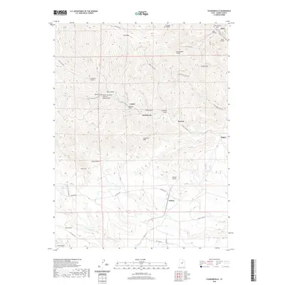 2020 Standardville2020 Print · USGSCarbon County’s canyon-bound coal towns are captured here in the contemporary era, showcasing the rugged corridor from Standardville to the Price River. Researchers can trace the legacy of mining camps along Spring Canyon Rd and find landmarks like The Castle Gate and Latuda.
 - 2020 Map of Matts Summit, 2020 Print
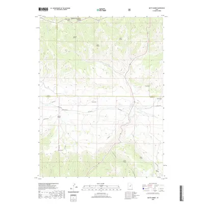 2020 Matts Summit2020 Print · USGSThe high plateau country of the Western Uintas and Wasatch Plateau interface comes alive in this contemporary record. Researchers can trace the rugged topography of Emma Park and Matts Summit, locating remote water sources like Ripe Spring and Little Boulder Dam.
 - 2020 Map of Sunnyside, 2020 Print
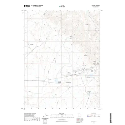 2020 Sunnyside2020 Print · USGSIn the heart of Carbon County's mining district, this map captures the neighboring industrial hubs of Sunnyside and East Carbon. Genealogists and historians can locate early cemeteries like the Sunnyside Power Plant Cem and trace the rail connections at Columbia Junction.
Showing maps 1-25 of 84
Top cities of Carbon County
Frequently asked questions
- What are the different types of historical maps available for Carbon County?
- What is the oldest map of Carbon County?
- Where can I purchase historical maps of Carbon County for my home or office?
- Where can I download high-res historical maps of Carbon County?
- Are there historical topographic maps available for Carbon County?
- Is there historical aerial imagery available for Carbon County?
- Where are historical maps of Carbon County sourced from?