2000s (21st Century) Maps of Carbon County, Utah
Explore 216 historic maps of Carbon County from the 2000s (21st Century). These maps offer a rare glimpse into what life looked like during the 2000s — showing old roads, neighborhoods, homes, and landmarks that have changed or disappeared over time.
Whether you're researching your family's past, planning a metal detecting trip, or studying how Carbon County's landscape evolved across the 2000s, these high-resolution maps are a powerful tool for exploring the history of this region.
- Focus on a specific era: All maps on this page are from the 2000s, giving you a focused view of this time period.
- See what’s changed: Compare century-old streets, trails, and buildings to today's modern landscape using overlays and satellite layers.
- Research with precision: Use these maps for genealogy, historical research, land use analysis, or educational projects.
- View, download, or print: Maps are fully viewable online in high resolution, and can be downloaded or printed for your own records.
Start exploring Carbon County's history through authentic maps from the 2000s. This is your window into the past.
Carbon County, UT maps
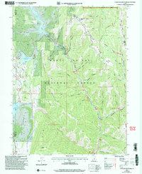
(216)- 2001 Map of Wattis, 2004 Print
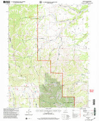 2001 Wattis2004 Print · USGSCarbon County's high-elevation coal country is captured here during a period of active mining and forest management at the turn of the millennium. Researchers can trace the industrial infrastructure of the Star Point Mine and the remote settlement of Wattis along the slopes of Gentry Mountain.
 - 2001 Map of Jump Creek, 2004 Print
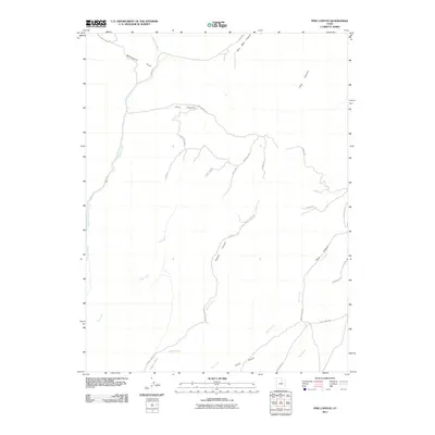
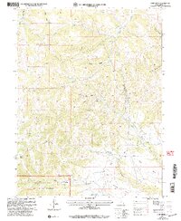 2001 Jump Creek2004 Print · USGSDeep in the coal country of Carbon County during the late twentieth century, this survey tracks the industrial and natural landscape. Researchers can locate the Gordon Creek Mine, trace the Pipeline, and explore named landmarks like The Elbow and Bob Wright Canyon.
 - 2001 Map of Scofield, 2004 Print
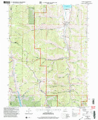 2001 Scofield2004 Print · USGSScofield and the surrounding high-mountain mining districts are captured here at the dawn of the new millennium. Historians and genealogists can trace the footprint of the energy industry and local infrastructure through the Skyline Mine, the Scofield Cemetery, and Clear Creek.
 - 2001 Map of Scofield Reservoir, 2004 Print
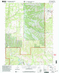
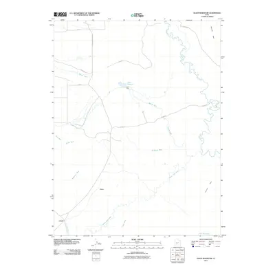
 2001 Scofield Reservoir2004 Print · USGSHigh-elevation canyons and the northern waters of Scofield Reservoir define this portion of the Wasatch Plateau at the turn of the millennium. Modern-day explorers can trace the Fish Creek National Recreation Trail or locate remote landmarks like Eternal Flat and The Backswitch.
 - 2001 Map of Hiawatha, 2004 Print
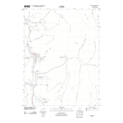
 2001 Hiawatha2004 Print · USGSThe coal-mining landscapes of the Wasatch Plateau are captured here at the turn of the twenty-first century. Genealogists and industrial historians can trace the operations of the Hiawatha Mine, locate the local Cemetery, and study the rail-and-road layout of Mohrland.
 - 2001 Map of Candland Mountain, 2004 Print
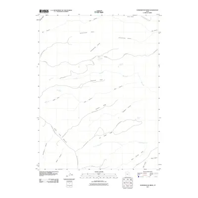
 2001 Candland Mountain2004 Print · USGSThe high-elevation plateaus and canyons of the Manti-La Sal National Forest are shown here just after the turn of the millennium. Trace industrial and water history through features like Electric Lake, Monument Peak, and the small settlement at Stuart.
 - 2011 Map of Patmos Head, 2011 Print
 2011 Patmos Head2011 Print · USGSCovers Carbon County, including Upper Sunnyside, East Carbon, and other nearby areas
 - 2011 Map of Twin Hollow, 2011 Print
 2011 Twin Hollow2011 Print · USGSCovers Carbon County, including United States, Utah, and other nearby areas
 - 2011 Map of Mounds, 2011 Print
 2011 Mounds2011 Print · USGSCovers Carbon County, including Emery County, United States, and other nearby areas
 - 2011 Map of Steer Ridge Canyon, 2011 Print
 2011 Steer Ridge Canyon2011 Print · USGSCovers Carbon County, including Uintah County, United States, and other nearby areas
 - 2011 Map of Bruin Point, 2011 Print
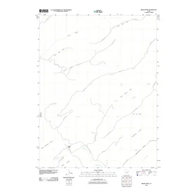 2011 Bruin Point2011 Print · USGSCovers Carbon County, including Bruin Point, United States, and other nearby areas
 - 2011 Map of Pinnacle Peak, 2011 Print
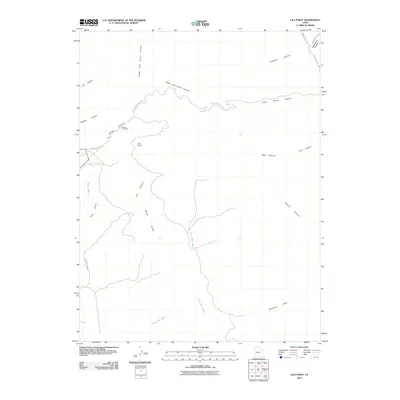
 2011 Pinnacle Peak2011 Print · USGSCovers Carbon County, including Wattis Junction, United States, and other nearby areas
 - 2011 Map of Chandler Falls, 2011 Print
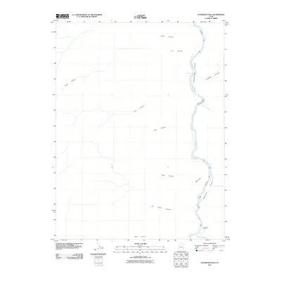 2011 Chandler Falls2011 Print · USGSCovers Carbon County, including Uintah County, Grand County, and other nearby areas
 - 2011 Map of Summerhouse Ridge, 2011 Print
 2011 Summerhouse Ridge2011 Print · USGSCovers Carbon County, including United States, Utah, and other nearby areas
 - 2011 Map of Lila Point, 2011 Print
 2011 Lila Point2011 Print · USGSCovers Carbon County, including Horse Canyon, Emery County, and other nearby areas
 - 2011 Map of Pine Canyon, 2011 Print
 2011 Pine Canyon2011 Print · USGSCovers Carbon County, including United States, Utah, and other nearby areas
 - 2011 Map of Helper, 2011 Print
 2011 Helper2011 Print · USGSCovers Carbon County, including Helper, Kenilworth, and other nearby areas
 - 2011 Map of Olsen Reservoir, 2011 Print
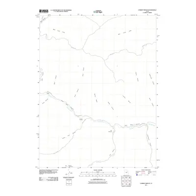
 2011 Olsen Reservoir2011 Print · USGSCovers Carbon County, including Victor, Emery County, and other nearby areas
 - 2011 Map of Lighthouse Canyon, 2011 Print
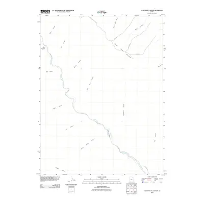 2011 Lighthouse Canyon2011 Print · USGSCovers Carbon County, including Emery County, United States, and other nearby areas
 - 2011 Map of Minnie Maud Creek East, 2011 Print
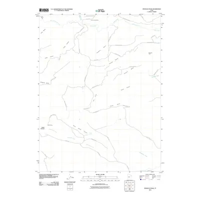
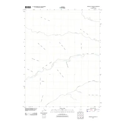
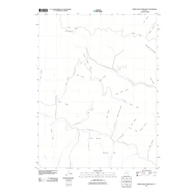
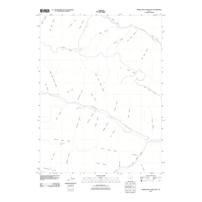 2011 Minnie Maud Creek East2011 Print · USGSCovers Carbon County, including Duchesne County, United States, and other nearby areas
 - 2011 Map of Cowboy Bench, 2011 Print
 2011 Cowboy Bench2011 Print · USGSCovers Carbon County, including Duchesne County, United States, and other nearby areas
 - 2011 Map of Pinnacle Canyon, 2011 Print
 2011 Pinnacle Canyon2011 Print · USGSCovers Carbon County, including Duchesne County, United States, and other nearby areas
 - 2011 Map of Standardville, 2011 Print
 2011 Standardville2011 Print · USGSCovers Carbon County, including Helper, Standardville, and other nearby areas
 - 2011 Map of Sunnyside Junction, 2011 Print
 2011 Sunnyside Junction2011 Print · USGSCovers Carbon County, including East Carbon, United States, and other nearby areas
 - 2011 Map of Minnie Maud Creek West, 2011 Print
 2011 Minnie Maud Creek West2011 Print · USGSCovers Carbon County, including Duchesne County, United States, and other nearby areas
Showing maps 1-25 of 216
Top cities of Carbon County
Frequently asked questions
- What are the different types of historical maps available for Carbon County?
- What is the oldest map of Carbon County?
- Where can I purchase historical maps of Carbon County for my home or office?
- Where can I download high-res historical maps of Carbon County?
- Are there historical topographic maps available for Carbon County?
- Is there historical aerial imagery available for Carbon County?
- Where are historical maps of Carbon County sourced from?