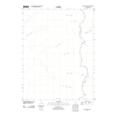
2011 Map of Chandler Falls
USGS Topo · Published 2011About this map
Green River meanders through the deep gorge of Desolation Canyon in this section of Uintah County, Utah. The river is the primary navigational feature, punctuated by the namesake Chandler Falls and joined by several tributaries including Bluebell Creek, Joe Hutch Creek, and Florence Creek. The McPherson Ranch stands as the only named settlement or major landholding within the rugged topography, indicating the sparse human footprint in this part of the state. The landscape is defined by a dense network of drainage systems such as Joe Hatch Canyon, Big Canyon, and Three Canyon, all converging toward the river corridor. Prominent landmarks like Red Point and Lion Hollow further characterize the dramatic elevation changes and erosion patterns of the canyonlands.
Find a feature on this map
16 named features on this map. Tap any name to fly to it.
Don’t see what you’re looking for? This feature index may not catch every label — zoom into the map to look around manually.
Map Details
Editions of this 2011 Chandler Falls Map
This is the sole edition of this map. No revisions or reprints were ever made.
Other maps of this area

1885 · East Tavaputs
USGS Topo · 1:250,000

1886 · Price River
USGS Topo · 1:250,000

1896 · Price River
USGS Topo · 1:250,000

1953 · Firewater Canyon
USGS Topo · 1:62,500

1954 · Flat Canyon
USGS Topo · 1:62,500

1954 · Range Creek
USGS Topo · 1:62,500

1956 · Price
USGS Topo · 1:250,000

1956 · Grand Junction
USGS Topo · 1:250,000

1959 · Grand Junction
USGS Topo · 1:250,000

1960 · Price
USGS Topo · 1:250,000