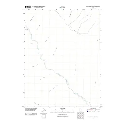
2011 Map of Lighthouse Canyon
USGS Topo · Published 2011About this map
Range Creek carves a deep path through this portion of Carbon County, serving as the primary drainage for a landscape defined by dramatic elevation changes. The waterway is flanked by numerous side canyons, including Sheep Canyon, Bear Canyon, and Nelson Canyon, which reach toward the high plateau of Range Valley Mountain. Access across this isolated terrain is limited to a few primitive routes such as Range Creek Rd and Range Valley Mountain Rd, which follow the natural contours of the land. A notable landmark in the northern reaches is Tim's Hole, situated near the head of Snap Canyon. The map also highlights Cherry Meadow, a rare named clearing in the creek's drainage basin, illustrating the sparse but distinct pockets of topography used for navigation and landmarking in the region.
Find a feature on this map
23 named features on this map. Tap any name to fly to it.
Don’t see what you’re looking for? This feature index may not catch every label — zoom into the map to look around manually.
Map Details
Editions of this 2011 Lighthouse Canyon Map
This is the sole edition of this map. No revisions or reprints were ever made.
Other maps of this area

1886 · Price River
USGS Topo · 1:250,000

1896 · Price River
USGS Topo · 1:250,000

1915 · Sunnyside
USGS Topo · 1:62,500

1948 · Woodside
USGS Topo · 1:62,500

1949 · Woodside
USGS Topo · 1:62,500

1950 · Woodside
USGS Topo · 1:62,500

1954 · Flat Canyon
USGS Topo · 1:62,500

1954 · Range Creek
USGS Topo · 1:62,500

1956 · Price
USGS Topo · 1:250,000

1960 · Price
USGS Topo · 1:250,000