Old Maps of Farmington, Utah for Genealogy
Trace your family roots with 33 historic maps of Farmington. These high-res maps reveal old neighborhoods, homesites, landmarks, and streets — helping you uncover where your ancestors lived and how the area evolved over time.
- Explore historic neighborhoods: Identify where your relatives may have lived in the 1800s or 1900s.
- Compare maps over time: Trace the changes in streets, buildings, and landmarks for multi-generational research.
- Perfect for genealogy & ancestry research: Used by family historians and researchers to map out lineage and migration.
These maps are an incredible resource for exploring your personal connection to Farmington's past.
Farmington, UT maps
(33)- 1885 Map of Salt Lake
 1885 Salt Lake1885 Print · USGSThe Wasatch Front and surrounding high valleys appear here in the mid-1880s during a period of rapid mining and rail expansion. Genealogists and historians can trace early town sites and mining camps including Alta, Silver City, and the military grounds of Fort Douglass.7 unique versions available
 - 1925 Map of Ft. Douglas
 1925 Ft. Douglas1925 Print · USGSThe Wasatch Range in the mid-1920s shows a landscape of mining camps and early mountain tourism. Genealogists and researchers can trace the old paths of the Lincoln Highway and locate vanished stops like Gogorza, Kimballs, and the Pacific Mine.
 - 1928 Map of Ft. Douglas
 1928 Ft. Douglas1928 Print · USGSIn the mid-1920s, the high country east of Salt Lake was a hive of mining and early canyon tourism. Trace old claim sites like the Pacific Mine or visit early retreats such as Pinecrest Inn and the YWCA Camp during the mining era.2 unique versions available
 - 1952 Map of Farmington, 1954 Print
 1952 Farmington1954 Print · USGSDavis County during the early 1950s shows the narrow corridor of growth between the mountains and the Great Salt Lake. Genealogy researchers can trace family homesteads near Woods Cross, find the historic Lagoon grounds, and follow the paths of three major rail lines like the Bamberger Railroad.4 unique versions available
 - 1952 Map of Bountiful Peak, 1954 Print
 1952 Bountiful Peak1954 Print · USGSThe foothills of the Wasatch Range in the early fifties show the expanding street grids of Centerville and Bountiful City. Local historians can trace early civic landmarks like Bountiful High School or follow the narrow Skyline Drive into the mountains.5 unique versions available
 - 1954 Map of Salt Lake City, 1964 Print
 1954 Salt Lake City1964 Print · USGSThe Wasatch Front and Uinta Mountains are captured here in the mid-fifties, showing the industrial heart of Utah and its high mountain wilderness. Researchers can locate vanished infrastructure and landmarks like the Geneva Steel Plant, Bingham Canyon Mine, and the Utah State Prison.4 unique versions available
 - 1954 Map of Ogden, 1967 Print
 1954 Ogden1967 Print · USGSThe northern Utah corridor and Wyoming borderlands are captured here in the mid-1950s, showing the region's transition from mountain wilderness to settled valleys. Researchers can trace historic institutions like Utah State University or locate vanished points like Church Butte Station and the Trappist Monastery.3 unique versions available
 - 1955 Map of Kaysville, 1956 Print
 1955 Kaysville1956 Print · USGSDavis County transitioned from an agrarian valley to a strategic defense hub during the mid-fifties as the suburbs began to expand. You can trace the path of the electric Bamberger Railroad and locate civic landmarks like Sahara Village and the County High School.4 unique versions available
 - 1958 Map of Ogden
 1958 Ogden1958 Print · USGSNorthern Utah and southwestern Wyoming are captured here during a period of steady growth and military expansion. You can trace the Union Pacific rail lines and early road networks connecting Ogden and Logan to Bear Lake and Evanston.
 - 1958 Map of Salt Lake City
 1958 Salt Lake City1958 Print · USGSThe Wasatch Front and Uinta Basin are captured during a period of significant post-war growth and industrial development. Researchers can trace the mid-century rail lines of the Bamberger RR and locate sites like the Kiegley Limestone Quarry and Camp Williams Military Reservation.
 - 1960 Map of Ogden
 1960 Ogden1960 Print · USGSIn the mid-1950s, this region of the American West balanced military expansion with frontier history along the Union Pacific RR. Genealogists and historians can trace old settlements like Fort Bridger, the residential growth of Washington Terrace, and industrial sites from the Hill AFB complex to the coal mines of Kemmerer.
 - 1960 Map of Salt Lake City
 1960 Salt Lake City1960 Print · USGSThe Wasatch Front and High Uintas are captured mid-century as the Salt Lake Valley underwent significant postwar expansion. Genealogists and historians can trace rail lines like the Union Pacific and locate established landmarks such as Fort Douglas, Camp Williams, and the Bingham Canyon Mine.
 - 1980 Map of Salt Lake City
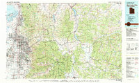 1980 Salt Lake City1980 Print · USGSSalt Lake City and the surrounding Wasatch Range are shown in the early eighties during a period of rapid suburban growth. Genealogists and historians can trace old mining operations like the Ontario Mine and Wasatch Mine or follow the path of the Union Pacific through the canyons.3 unique versions available
 - 1986 Map of Ogden, 1987 Print
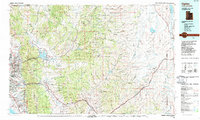 1986 Ogden1987 Print · USGSThe Wasatch Front was undergoing significant development in the mid-eighties as the urban corridor stretched from Ogden toward the Great Salt Lake. Researchers can trace the legacy of regional transport and defense via Hill Air Force Base, the Union Pacific line, and mountain passes near Snow Basin.
 - 1992 Map of Kaysville
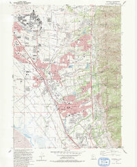 1992 Kaysville1992 Print · USGSThe Wasatch Front underwent significant suburban expansion in the early nineties, centered on the military and agricultural hubs of Davis County. Researchers can trace local development through landmarks like Hill Air Force Base, Layton Sta, and Lakeview Cemetery.2 unique versions available
 - 1998 Map of Farmington, 2001 Print
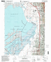 1998 Farmington2001 Print · USGSThe eastern shore of the Great Salt Lake comes into focus in the late nineties as suburban growth reaches the mountain foothills. Genealogists and local historians can trace the development of Farmington, Lagoon, and schools like Reading Sch and Stewart Sch.
 - 1998 Map of Bountiful Peak, 2001 Print
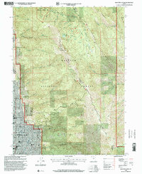 1998 Bountiful Peak2001 Print · USGSThe Wasatch Front near the turn of the millennium shows a bustling suburban landscape pressed against the steep mountain canyons. Researchers can trace local development through landmarks like Lakeview Hospital and the LDS Temple, or explore the high-country trails along Skyline Drive.
 - 1998 Map of Kaysville, 2001 Print
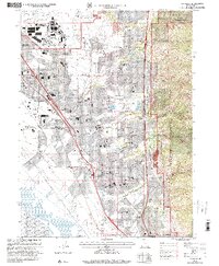 1998 Kaysville2001 Print · USGSDavis County underwent rapid suburban transformation in the late nineties as residential neighborhoods filled the benchlands below the Wasatch Front. Genealogists and local historians can trace the development of Clearfield, Layton, and Kaysville alongside landmarks like Lakeview Cemetery and the Hill Air Force Base.
 - 2011 Map of Bountiful Peak, 2011 Print
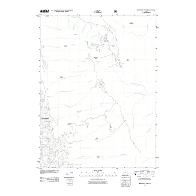 2011 Bountiful Peak2011 Print · USGSThe foothills of Davis County meet the high Wasatch peaks in the early 21st century as residential growth presses against the mountains. Genealogists and hikers can trace the geography from Centerville and Bountiful up into Ward Canyon, Steed Canyon, and the high Farmington Flats.
 - 2011 Map of Farmington, 2011 Print
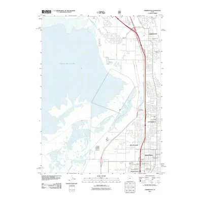 2011 Farmington2011 Print · USGSThe Davis County shoreline and its booming suburban corridor are captured here in the early 2000s as infrastructure expanded alongside the Great Salt Lake. Researchers can trace local landmarks from the Farmington City Cemetery to the University of Utah at Bountiful.
 - 2011 Map of Kaysville, 2011 Print
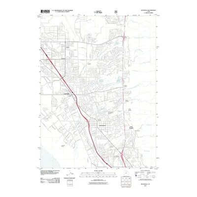 2011 Kaysville2011 Print · USGSDavis County's northern corridor shows its modern residential and commercial density in the early twenty-first century. Researchers can trace local genealogy and land use across the Kaysville and Layton Memorial Cemetery, the Utah State Experiment Farm, and the Union Pacific Railroad corridor.
 - 2014 Map of Bountiful Peak, 2014 Print
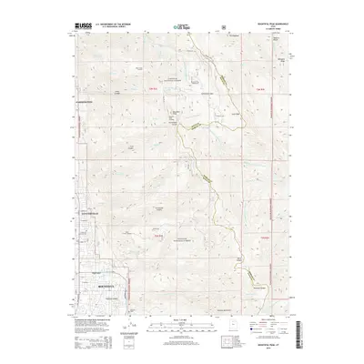 2014 Bountiful Peak2014 Print · USGSDavis County communities sit at the foot of the Wasatch Range in the early 2010s, where town grids meet the national forest. Genealogists and local historians can trace family sites near Lakeview Cem, Centerville Memorial Park, and Farmington Lake.
 - 2014 Map of Farmington, 2014 Print
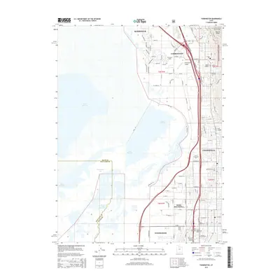 2014 Farmington2014 Print · USGSThe Davis County corridor hums with activity in the early 2010s as suburban expansion meets the shores of the Great Salt Lake. Trace local genealogy and industry through markers like Farmington City Cem, Woods Cross Siding, and the steep terrain of the Wasatch Range.
 - 2014 Map of Kaysville, 2014 Print
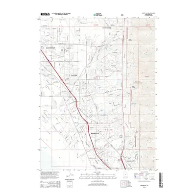 2014 Kaysville2014 Print · USGSThe Davis County corridor at the foot of the Wasatch Range shows a blend of suburban expansion and mountain wilderness. Researchers can trace land use from the Hill Air Force Base to local sites like the Kaysville and Layton Memorial Cem and Oyster Ridge.
 - 2017 Map of Kaysville, 2017 Print
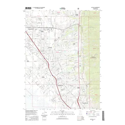 2017 Kaysville2017 Print · USGSThe Davis County corridor is captured here during its recent period of suburban and military expansion along the Wasatch Front. Researchers can trace local lineage at the Hill Cem and Kaysville City Cem or locate community landmarks like Sahara Village and the Adams Reservoir.
Showing maps 1-25 of 33
Top cities near Farmington
- Salt Lake City historical maps
- Ogden historical maps
- Layton historical maps
- Bountiful historical maps
- Roy historical maps
- Kaysville historical maps
See more
Top neighborhoods of Farmington
- Bayview Heights historical maps
- Cave Hollow historical maps
- Country Hills of Farmington historical maps
- Farmington Bay historical maps
- Farmington Heights historical maps
- Farmington Hills historical maps
See more
Frequently asked questions
- What are the different types of historical maps available for Farmington?
- What is the oldest map of Farmington?
- Where can I purchase historical maps of Farmington for my home or office?
- Where can I download high-res historical maps of Farmington?
- Are there historical topographic maps available for Farmington?
- Is there historical aerial imagery available for Farmington?
- Where are historical maps of Farmington sourced from?