2000s (21st Century) Maps of Duchesne County, Utah
Explore 78 historic maps of Duchesne County from the 2000s (21st Century). These maps offer a rare glimpse into what life looked like during the 2000s — showing old roads, neighborhoods, homes, and landmarks that have changed or disappeared over time.
Whether you're researching your family's past, planning a metal detecting trip, or studying how Duchesne County's landscape evolved across the 2000s, these high-resolution maps are a powerful tool for exploring the history of this region.
- Focus on a specific era: All maps on this page are from the 2000s, giving you a focused view of this time period.
- See what’s changed: Compare century-old streets, trails, and buildings to today's modern landscape using overlays and satellite layers.
- Research with precision: Use these maps for genealogy, historical research, land use analysis, or educational projects.
- View, download, or print: Maps are fully viewable online in high resolution, and can be downloaded or printed for your own records.
Start exploring Duchesne County's history through authentic maps from the 2000s. This is your window into the past.
Duchesne County, UT maps
(78)- 2023 Map of Tabby Mountain, 2023 Print
 2023 Tabby Mountain2023 Print · USGSThe high ridges and deep hollows of Duchesne County are captured here in the early 2020s, showing a landscape defined by rugged topography and modern aviation. Researchers can trace the local water systems from Red Creek Reservoir to Big Lake, or locate landmarks like Thunder Ridge Airpark and Grey Wolf Mtn.
 - 2023 Map of Paradise Park, 2023 Print
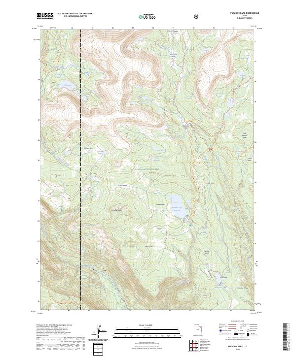 2023 Paradise Park2023 Print · USGSThe high Uinta backcountry of Uintah and Duchesne counties is captured here in the early twenty-first century. Researchers can trace alpine water systems and trails connecting Paradise Park Reservoir, Mosby Mtn, and the Whiterocks River.
 - 2023 Map of Pariette Draw SW, 2023 Print
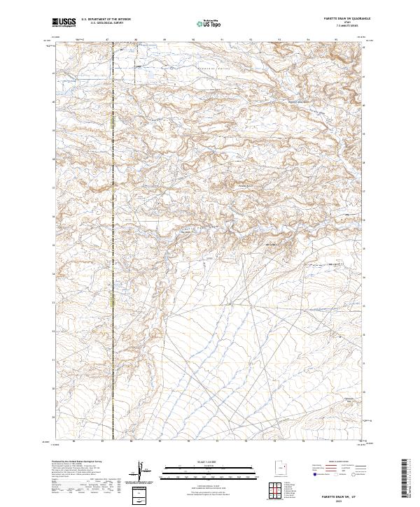 2023 Pariette Draw SW2023 Print · USGSThe arid boundary between Duchesne and Uintah counties is captured here in the early twenty-first century. Researchers can trace remote water sources like Billeys Reservoir and Odekirk Spring or follow the paths of Castle Peak Rd and N Pariette Bench Rd.
 - 2023 Map of Talmage, 2023 Print
 2023 Talmage2023 Print · USGSThe high benches and river valleys of Duchesne County are captured here in the early twenty-first century. Genealogists and local historians can trace the irrigation systems and early settlements of Talmage and Utahn, including the Talmage Cem and the nearby Steamboat Mtn.
 - 2023 Map of Bollie Lake, 2023 Print
 2023 Bollie Lake2023 Print · USGSHigh in the Uinta Mountains in the early twenty-first century, this landscape is a sanctuary of alpine waters and protected forest. Researchers and hikers can trace remote paths like the Uinta River Trl to reach Bollie Lake and Wild Goose Lake.
 - 2023 Map of Whiterocks, 2023 Print
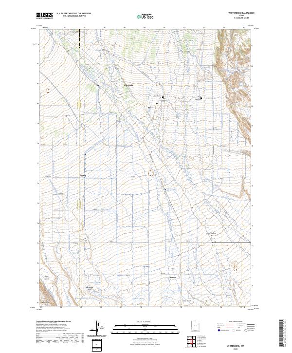 2023 Whiterocks2023 Print · USGSSettlement in the Uinta Basin is defined by water and terrain in this modern survey of the Utah high desert. Genealogists and researchers can trace local family landmarks and rural infrastructure across Blackhawk Bench, visiting sites like White Rocks Cem and Hayden Cem.
 - 2023 Map of Rasmussen Lakes, 2023 Print
 2023 Rasmussen Lakes2023 Print · USGSThe High Uintas high-country is captured in this recent survey, showcasing a landscape of glacial basins and alpine watersheds. Hikers and researchers can trace the routes of the Rasmussen Lakes Trl to remote waters like Cirque Lake and Middle Rock Lake.
 - 2023 Map of Duchesne SW, 2023 Print
 2023 Duchesne SW2023 Print · USGSDuchesne County is captured here in 2023, showcasing the network of high ridges and deep canyons that define the local topography. Researchers can trace the path of Sowers Canyon Rd and locate vital water sources like Marshall Springs and Sowers Creek.
 - 2023 Map of Altonah, 2023 Print
 2023 Altonah2023 Print · USGSDuchesne County's high plains and irrigation networks are on display in this contemporary survey of the area surrounding Altonah. Researchers can trace the sophisticated water systems of the Yellowstone Feeder Canal, find the Altonah Cem, and locate Chidester Springs.
 - 2023 Map of Fruitland, 2023 Print
 2023 Fruitland2023 Print · USGSFruitland sits at the center of this modern survey of Duchesne County, where the high-elevation valleys meet the foothills. Local researchers can trace family landmarks and land use through the Fruitland Cem, the drainage of Red Creek, and the routes leading toward Currant Creek Mtn.
 - 2023 Map of Whiterocks Lake, 2023 Print
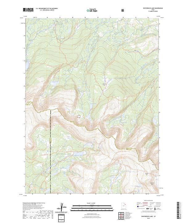 2023 Whiterocks Lake2023 Print · USGSHigh in the Uinta Mountains during the early twenty-first century, this map details a pristine alpine watershed where three Utah counties converge. Researchers can trace high-country routes like the Uinta Highline Trl between Whiterocks Lake and Gabbro Pass.
 - 2023 Map of Oweep Creek, 2023 Print
 2023 Oweep Creek2023 Print · USGSThe High Uintas backcountry in Duchesne County is captured here in detail, showcasing a wilderness of glacial basins and alpine lakes. Hikers and explorers can trace the Uinta Highline Trl past Cleveland Lake and over East Basin Pass.
 - 2023 Map of Windy Ridge, 2023 Print
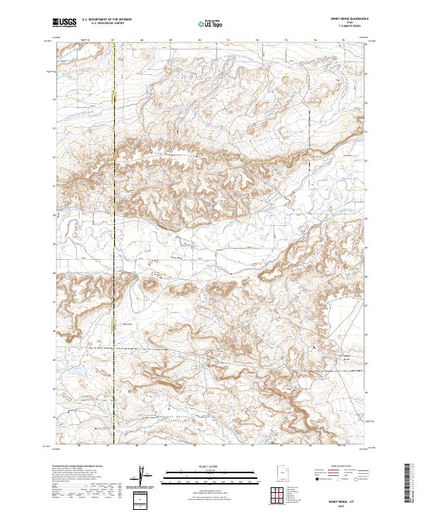 2023 Windy Ridge2023 Print · USGSThe Duchesne River valley in eastern Utah is defined by its intricate network of early irrigation canals and river bends. Trace the paths of the Myton Townsite Canal, New Hope Canal, and landmarks like Windy Ridge and Leland Bench.
 - 2023 Map of Farm Creek Peak, 2023 Print
 2023 Farm Creek Peak2023 Print · USGSDuchesne County is captured here in the early twenty-first century as the mountain wilderness meets the high desert valley. Trace the irrigation history of the region through the Little Farm Creek Canal and the family-named Jasper Pike Canal.
 - 2023 Map of Neola, 2023 Print
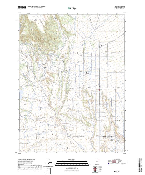 2023 Neola2023 Print · USGSAgricultural life in Duchesne County comes into focus on this 2023 survey of the Utah high desert. Trace family history at Neola Cem or Greenhalgh Cem, and follow the complex water networks of Uintah Canal and Cedarview Canal.
 - 2023 Map of Myton SE, 2023 Print
 2023 Myton SE2023 Print · USGSIn the arid Uinta Basin of eastern Utah, this recent survey illustrates how water management shapes the landscape through the Lower Pleasant Valley Canal. Researchers can trace local topography and landmarks like Castle Peak and Snyder Reservoir.
 - 2023 Map of Mountain Home, 2023 Print
 2023 Mountain Home2023 Print · USGSDuchesne County's high plains come into focus in this contemporary study of the area's vital water systems and rural life. Researchers can trace the extensive Farnsworth Canal and find local landmarks such as Mountain Home and the expansive Towanta Flat.
 - 2023 Map of Altamont, 2023 Print
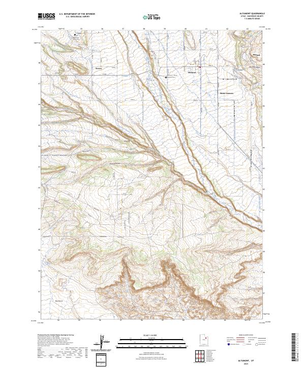 2023 Altamont2023 Print · USGSThe agricultural settlements of the Uinta Basin are captured in this recent survey. Researchers can trace family history at the Altamont - Mount Emmons Cem or follow the vital irrigation paths of the Lake Fork River and Lake Fork Western Canal.
 - 2023 Map of Buck Knoll, 2023 Print
 2023 Buck Knoll2023 Print · USGSDuchesne County's high-desert canyon country is captured in this modern survey of the Uinta Basin's rugged breaks. Researchers can trace the historic transit routes through Indian Canyon and locate landmarks like Buck Knoll and the winding Gripple Creek.
 - 2023 Map of Jones Hollow, 2023 Print
 2023 Jones Hollow2023 Print · USGSThe Duchesne highlands in 2023 reveal a deep network of canyons and ridgelines within the Ashley National Forest. Researchers can trace the drainages of Right Fork Indian Canyon and explore landmarks like the Bad Land Cliffs and Argyle Ridge.
 - 2023 Map of Blacktail Mountain, 2023 Print
 2023 Blacktail Mountain2023 Print · USGSEastern Utah's high-elevation terrain is documented here in the early twenty-first century as it borders the Duchesne River. Researchers can trace the drainage patterns of Wright Draw or locate landmarks like Blacktail Mtn and The Nipple.
 - 2023 Map of Duchesne SE, 2023 Print
 2023 Duchesne SE2023 Print · USGSDuchesne County in the 2020s shows a landscape of high ridges and deep canyons marked by recent rural road development. Researchers can trace the drainage of Antelope Creek and find access routes along Cottonwood Ridge Rd and Sowers Canyon Rd.
 - 2023 Map of Grandaddy Lake, 2023 Print
 2023 Grandaddy Lake2023 Print · USGSThe high country of Duchesne County comes into focus in this contemporary survey of the Uinta Mountains. Researchers can trace alpine trails like the Pine Island Loop Trl between Grandaddy Lake and Hades Pass.
 - 2023 Map of Minnie Maud Creek East, 2023 Print
 2023 Minnie Maud Creek East2023 Print · USGSThe high canyon country of eastern Utah is documented in this recent survey of the Carbon and Duchesne county border. Researchers can trace historic land use through named landmarks like Sorens Cave, Whitmore Park, and the waters of Sky-high Pond.
 - 2023 Map of Hanna, 2023 Print
 2023 Hanna2023 Print · USGSIn the high Uinta Valley during the early 2020s, the rural life of Duchesne County is captured along the Duchesne River. Trace family lands and local geography near Hanna, Dutchmans Flat, and the distinct landmark of The Hens Nest.
Showing maps 1-25 of 78
Top cities of Duchesne County
- Roosevelt historical maps
- Duchesne historical maps
- Myton historical maps
- Altamont historical maps
- Tabiona historical maps
Frequently asked questions
- What are the different types of historical maps available for Duchesne County?
- What is the oldest map of Duchesne County?
- Where can I purchase historical maps of Duchesne County for my home or office?
- Where can I download high-res historical maps of Duchesne County?
- Are there historical topographic maps available for Duchesne County?
- Is there historical aerial imagery available for Duchesne County?
- Where are historical maps of Duchesne County sourced from?