2020s Maps of Duchesne County, Utah
Explore 156 historic maps of Duchesne County from the 2020s. These maps offer a rare glimpse into what life looked like during the 2020s — showing old roads, neighborhoods, homes, and landmarks that have changed or disappeared over time.
Whether you're researching your family's past, planning a metal detecting trip, or studying how Duchesne County's landscape evolved across the 2020s, these high-resolution maps are a powerful tool for exploring the history of this region.
- Focus on a specific era: All maps on this page are from the 2020s, giving you a focused view of this time period.
- See what’s changed: Compare century-old streets, trails, and buildings to today's modern landscape using overlays and satellite layers.
- Research with precision: Use these maps for genealogy, historical research, land use analysis, or educational projects.
- View, download, or print: Maps are fully viewable online in high resolution, and can be downloaded or printed for your own records.
Start exploring Duchesne County's history through authentic maps from the 2020s. This is your window into the past.
Duchesne County, UT maps
(156)- 2020 Map of Crow Knoll, 2020 Print
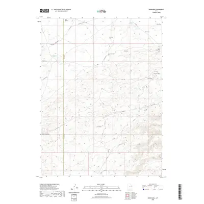 2020 Crow Knoll2020 Print · USGSEastern Utah at the border of Duchesne and Uintah Counties shows a landscape of strategic water management and ranch roads. Trace the arid drainages of Big Wash and Fourmile Wash, or locate remote landmarks like Crow Knoll and Kilroy Reservoir.
 - 2020 Map of Duches Hole, 2020 Print
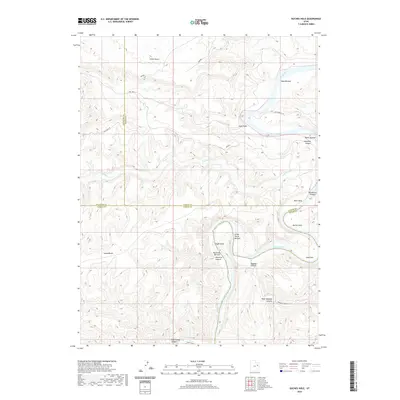 2020 Duches Hole2020 Print · USGSThe high plateaus and deep river canyons of the Uintah Basin are captured here in the early twenty-first century. Researchers can trace the winding Green River as it passes through Duches Hole and past isolated river flats like Maverick Bottom and Boat Bottom.
 - 2020 Map of Wood Canyon, 2020 Print
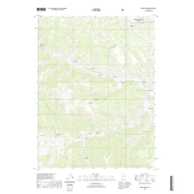 2020 Wood Canyon2020 Print · USGSDuchesne and Carbon counties meet along a high mountain ridge during the early twenty-first century. Researchers can trace the winding paths of Nine Mile Canyon Rd and Argyle Canyon Rd as they navigate between the Bad Land Cliffs and Sheep Canyon.
 - 2020 Map of Lance Canyon, 2020 Print
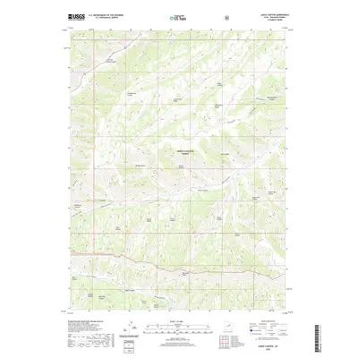 2020 Lance Canyon2020 Print · USGSThe high plateau and deep canyons of Duchesne County are shown here in modern detail, emphasizing the transition to the Bad Land Cliffs. Researchers can trace the network of isolated backcountry routes like Sowers Canyon Rd and locate remote landmarks such as West Lance Spring.
 - 2020 Map of Currant Canyon, 2020 Print
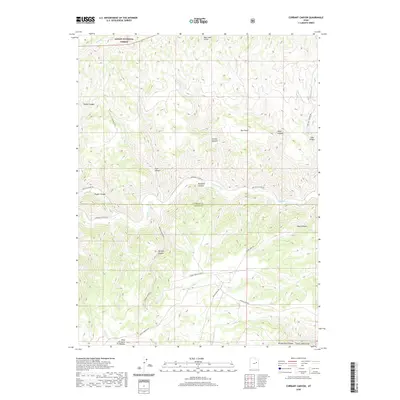 2020 Currant Canyon2020 Print · USGSDuchesne and Carbon Counties are captured here in 2020, showing a landscape defined by industrial gas extraction and high-plateau drainage. Researchers can trace the boundaries of the Stone Cabin Gas Field and old routes through Ninemile Canyon and Bad Land Cliffs.
 - 2020 Map of Minnie Maud Creek West, 2020 Print
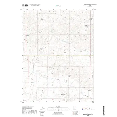 2020 Minnie Maud Creek West2020 Print · USGSThe high plateaus and deep canyons of the Duchesne-Carbon county line are captured here in the early twenty-first century. Researchers can trace remote ranching landmarks like Orson Bedground and travel corridors through Emma Park and along Minnie Maud Cr.
 - 2020 Map of Cowboy Bench, 2020 Print
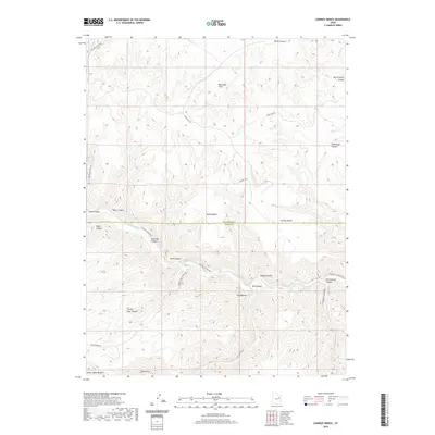 2020 Cowboy Bench2020 Print · USGSDuchesne and Carbon counties are shown here in the 2020s, highlighting the dramatic canyon systems of the West. Researchers can trace historic routes and landmarks such as Ninemile Canyon, the unique formation of The Mummy, and Stone Cabin Draw.
 - 2020 Map of Flat Ridge, 2020 Print
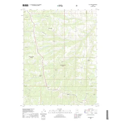 2020 Flat Ridge2020 Print · USGSHigh-country ridges and canyons define this area at the meeting of two National Forests. Researchers can trace remote ridgetop routes like Reservation Ridge Rd and locate water sources such as Bown Corral Reservoir and Indian Spring.
 - 2020 Map of Anthro Mountain, 2020 Print
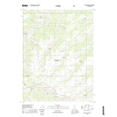 2020 Anthro Mountain2020 Print · USGSDuchesne County’s high country is captured here in the contemporary era, showing the intersection of managed forest land and steep canyon topography. Researchers can trace the winding Sowers Canyon Rd and locate specific water sources like Nutters Spring or the prominent Anthro Mtn.
 - 2020 Map of Minnie Maud Creek East, 2020 Print
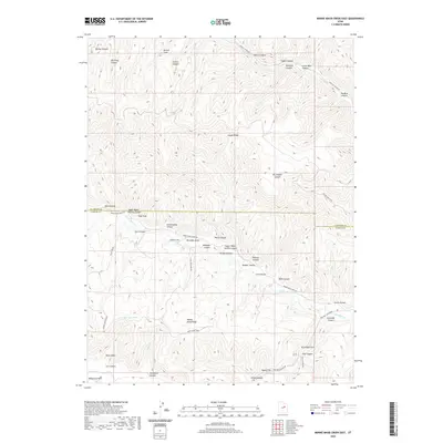 2020 Minnie Maud Creek East2020 Print · USGSHigh desert ridges and canyons along the Duchesne-Carbon county line are mapped here in the early twenty-first century. Genealogists and historians can trace traditional upland routes like the Twist Trail and identify family-named landmarks such as Sorenson Draw and Jenson Canyon.
 - 2020 Map of Pinnacle Canyon, 2020 Print
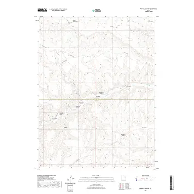 2020 Pinnacle Canyon2020 Print · USGSThe border of Duchesne and Carbon counties comes alive in this contemporary record of its deep canyons and high benches. Genealogists and historians can trace the access routes through Ninemile Canyon and Pinnacle Canyon, or locate family-named landmarks like Desbrough Canyon and Rock House Canyon.
 - 2020 Map of Matts Summit, 2020 Print
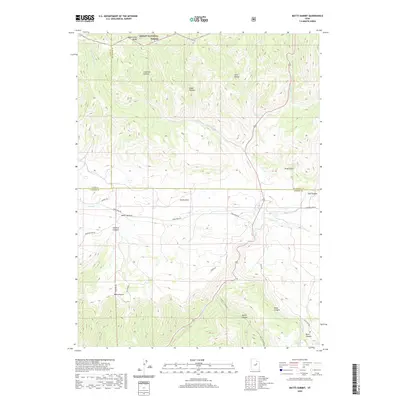 2020 Matts Summit2020 Print · USGSThe high plateau country of the Western Uintas and Wasatch Plateau interface comes alive in this contemporary record. Researchers can trace the rugged topography of Emma Park and Matts Summit, locating remote water sources like Ripe Spring and Little Boulder Dam.
 - 2020 Map of Jones Hollow, 2020 Print
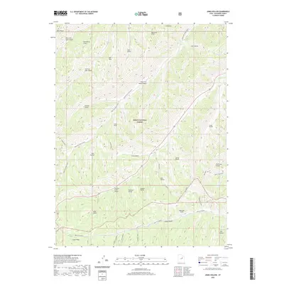 2020 Jones Hollow2020 Print · USGSDuchesne County in the 2020s remains a landscape of deep canyons and high ridges within the Ashley National Forest. Researchers can trace the rugged access routes along Argyle Canyon Rd and locate landmarks like the Bad Land Cliffs and Deathtrap Canyon.
 - 2020 Map of Wilkin Ridge, 2020 Print
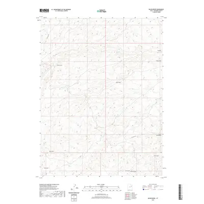 2020 Wilkin Ridge2020 Print · USGSDuchesne County’s high basin country is captured here in the 2020s, showing a landscape defined by seasonal washes and prominent ridges. Researchers can trace landforms like Uteland Butte, locate White Mule Spring, and follow the path of Eagle Perch Rd.
 - 2020 Map of Gray Head Peak, 2020 Print
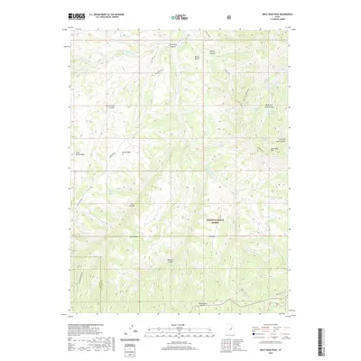 2020 Gray Head Peak2020 Print · USGSThe high ridges of the Uinta Basin border are captured here in the contemporary era, showing the intersection of Utah and Duchesne Counties. Track high-country landmarks and essential water sources like Gray Head Peak, Reservation Ridge, and Sick Cow Spring.
 - 2020 Map of Anthro Mountain NE, 2020 Print
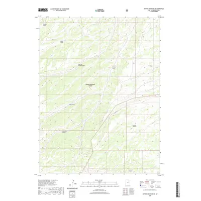 2020 Anthro Mountain NE2020 Print · USGSThe high Uinta Basin backcountry comes into focus in this recent survey of Duchesne County. Researchers can trace the rugged topography of the Bad Land Cliffs and follow seasonal drainages through Gilsonite Draw and Fivemile Canyon.
 - 2020 Map of Gilsonite Draw, 2020 Print
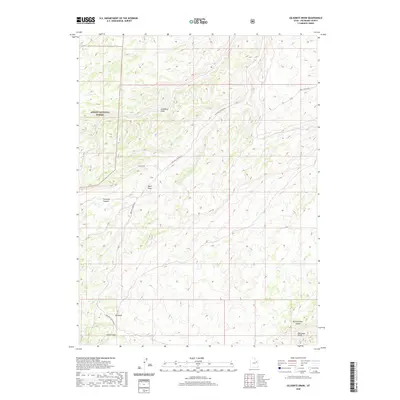 2020 Gilsonite Draw2020 Print · USGSDuchesne County’s high-desert plateau and deep canyon systems are captured here in the early twenty-first century. Researchers can trace the winding path of Nine Mile Canyon Rd as it snakes between Fivemile Canyon and the Bad Land Cliffs.
 - 2020 Map of Whiterocks, 2020 Print
 2020 Whiterocks2020 Print · USGSSettlement and irrigation systems define this Uintah Basin landscape as it appeared recently. Researchers can locate family burial sites at White Rocks Cem and Hayden Cem, or trace the extensive water network of Uintah Canal and Silka Lateral.
 - 2020 Map of Whiterocks Lake, 2020 Print
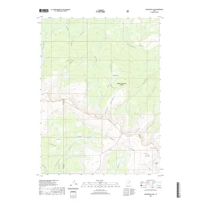 2020 Whiterocks Lake2020 Print · USGSThe high Uinta wilderness is documented here in the early twenty-first century as it spans the borders of three Utah counties. Researchers can trace high-altitude routes like the Uinta Highline and locate landmarks such as Mt Untermann, Spirit Lake, and Gabbro Pass.
 - 2020 Map of Ice Cave Peak, 2020 Print
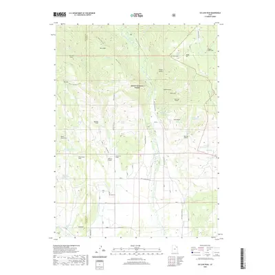 2020 Ice Cave Peak2020 Print · USGSHigh-country ranching and timberlands in the Ashley National Forest are captured here at the start of the 2020s. Genealogists and historians can trace family-named landmarks like Reeds Cem, Henry Olsen Draw, and the old Loggers Cabin Park.
 - 2020 Map of Roosevelt, 2020 Print
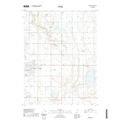 2020 Roosevelt2020 Print · USGSRoosevelt and the surrounding Uintah Basin are captured here in a period of modern growth and established irrigation. Researchers can locate civic landmarks like the Duchesne County Court House and trace regional water works like Dry Gulch Cr and Bench Canal.
 - 2020 Map of Pariette Draw SW, 2020 Print
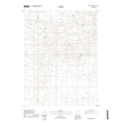 2020 Pariette Draw SW2020 Print · USGSThe Uinta Basin comes into focus in the early 2020s, revealing a landscape defined by seasonal water systems and high-plateau drainages. Researchers can trace remote water features like Butte Reservoir and Odekirk Spring or navigate along Castle Peak Rd.
 - 2020 Map of Paradise Park, 2020 Print
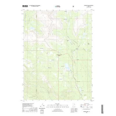 2020 Paradise Park2020 Print · USGSHigh in the Uinta Mountains of northeastern Utah, this recent survey captures the remote water networks and high-country landmarks of Ashley National Forest. Researchers can trace the engineering of the Mosby Canal or locate secluded sites like Hen Lee Bench and Paradise Park Reservoir.
 - 2020 Map of Farm Creek Peak, 2020 Print
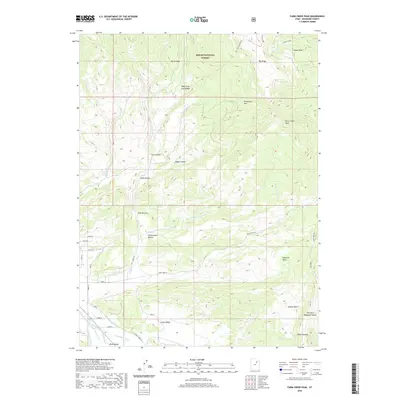 2020 Farm Creek Peak2020 Print · USGSHigh mountain wilderness meets the engineered water systems of the Uinta Valley in this modern survey. Researchers can trace historic water rights and land use through labels like Jasper Pike Canal, Rock Lake, and the remote Shotnick Basin.
 - 2020 Map of Garfield Basin, 2020 Print
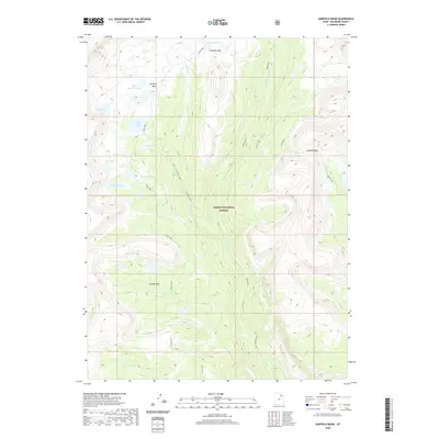 2020 Garfield Basin2020 Print · USGSHigh in the Duchesne County wilderness, this modern survey captures the drainage and terrain of the Ashley National Forest. Researchers can trace the alpine trails and passes that connect Garfield Basin to Tungsten Pass and Swasey Hole.
Showing maps 1-25 of 156
Top cities of Duchesne County
- Roosevelt historical maps
- Duchesne historical maps
- Myton historical maps
- Altamont historical maps
- Tabiona historical maps
Frequently asked questions
- What are the different types of historical maps available for Duchesne County?
- What is the oldest map of Duchesne County?
- Where can I purchase historical maps of Duchesne County for my home or office?
- Where can I download high-res historical maps of Duchesne County?
- Are there historical topographic maps available for Duchesne County?
- Is there historical aerial imagery available for Duchesne County?
- Where are historical maps of Duchesne County sourced from?