2010s Maps of Duchesne County, Utah
Explore 234 historic maps of Duchesne County from the 2010s. These maps offer a rare glimpse into what life looked like during the 2010s — showing old roads, neighborhoods, homes, and landmarks that have changed or disappeared over time.
Whether you're researching your family's past, planning a metal detecting trip, or studying how Duchesne County's landscape evolved across the 2010s, these high-resolution maps are a powerful tool for exploring the history of this region.
- Focus on a specific era: All maps on this page are from the 2010s, giving you a focused view of this time period.
- See what’s changed: Compare century-old streets, trails, and buildings to today's modern landscape using overlays and satellite layers.
- Research with precision: Use these maps for genealogy, historical research, land use analysis, or educational projects.
- View, download, or print: Maps are fully viewable online in high resolution, and can be downloaded or printed for your own records.
Start exploring Duchesne County's history through authentic maps from the 2010s. This is your window into the past.
Duchesne County, UT maps
(234)- 2010 Map of Neola, 2010 Print
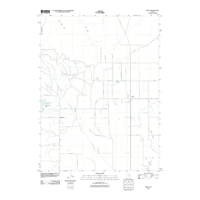 2010 Neola2010 Print · USGSSettlement and irrigation systems define the Duchesne County landscape in the early twenty-first century. Genealogists and local historians can trace the development of Neola and Monarch, alongside landmarks like Neola Cemetery and the Browns Draw Reservoir.
 - 2010 Map of Sams Canyon, 2010 Print
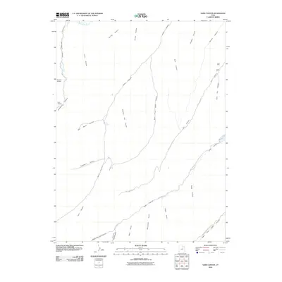 2010 Sams Canyon2010 Print · USGSDuchesne County's high canyon country is documented here in the early twenty-first century, highlighting remote mining sites and rugged drainage basins. Researchers can locate the Frank Mine, trace the winding Avintaquin Road, and explore the headwaters of Sams Canyon.
 - 2010 Map of Duchesne SE, 2010 Print
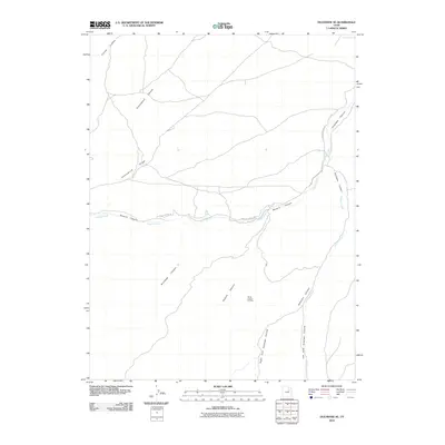 2010 Duchesne SE2010 Print · USGSDuchesne County in the early twenty-first century reveals a landscape defined by energy extraction and deep desert canyons. Researchers can trace the layout of the Nutter Canyon Oil Field and following the course of Sowers Creek along Sowers Canyon Rd.
 - 2010 Map of Blacktail Mountain, 2010 Print
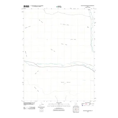 2010 Blacktail Mountain2010 Print · USGSDuchesne County is captured here in the early twenty-first century, showing the rugged drainage systems of the Uinta Basin. Researchers can trace family-named terrain like McAfee Ridge and Wagstaff Hollow alongside the critical waters of the Duchesne River.
 - 2010 Map of Myton, 2010 Print
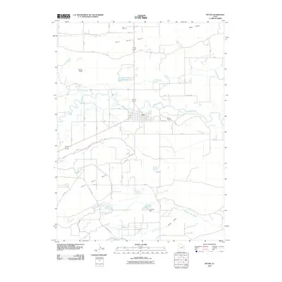 2010 Myton2010 Print · USGSMyton and the surrounding Uinta Basin benches are captured here in the early twenty-first century as a landscape shaped by water and high desert agriculture. Researchers can trace the extensive irrigation network through the Dry Gulch Canal and locate family sites near the Myton Cemetery or Flattop Butte.
 - 2010 Map of Fruitland, 2010 Print
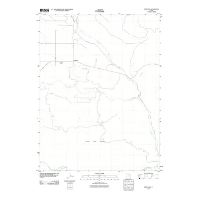 2010 Fruitland2010 Print · USGSFruitland sits at a vital junction of Utah mountain streams at the start of the decade. Genealogists and local historians can trace the town layout and local landmarks like the Fruitland Cemetery, Saw Mill Rd, and the banks of the Strawberry River.
 - 2010 Map of Neola NW, 2010 Print
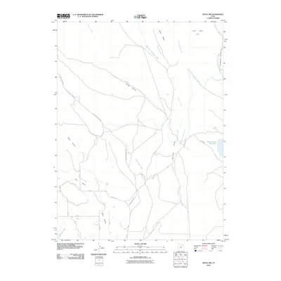 2010 Neola NW2010 Print · USGSDuchesne County in the early twenty-first century reveals a landscape defined by ranching and irrigation at the edge of the mountains. Researchers can trace water rights and land use via the Bluebell Lateral, Browns Draw Reservooir, and John Starr Flat.
 - 2010 Map of Altonah, 2010 Print
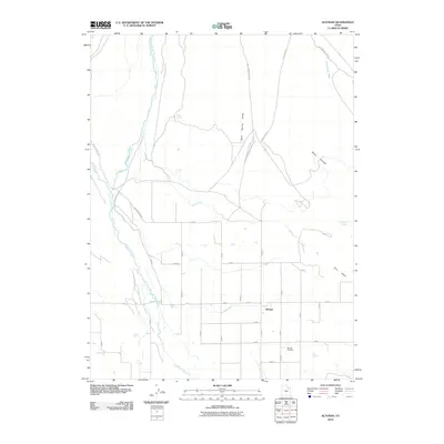 2010 Altonah2010 Print · USGSAltonah and its surrounding farmstead grid are documented here in the early twenty-first century. Genealogists and local historians can trace family roots at the Altonah Cemetery or follow the intricate irrigation paths of the Payne Canal and Lake Fork River.
 - 2010 Map of Mountain Home, 2010 Print
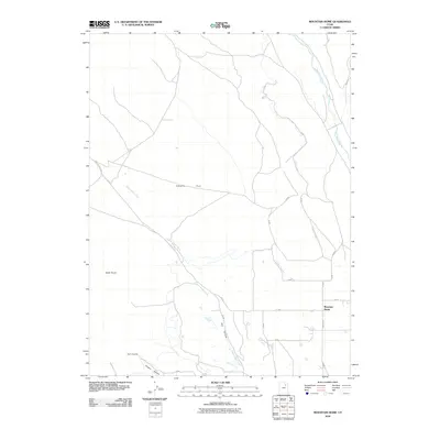 2010 Mountain Home2010 Print · USGSDuchesne County’s high-country ranching and irrigation systems are clearly visible in this early 21st-century survey of the Uinta foothills. Researchers can trace water rights and land use through the Farnsworth Canal and the settlement at Mountain Home.
 - 2010 Map of Altamont, 2010 Print
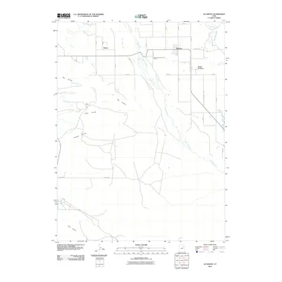 2010 Altamont2010 Print · USGSDuchesne County at the start of the new millennium shows a landscape defined by its vital water systems and rural outposts. Local historians can trace family ties at the Altamont-Mount Emmons Cemetery or locate the sprawling P X Ranch along the banks of the Lake Fork River.
 - 2010 Map of Strawberry Pinnacles, 2010 Print
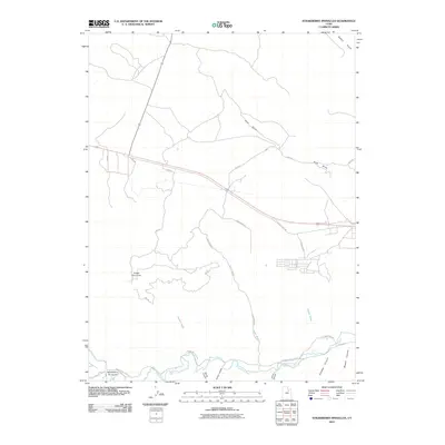 2010 Strawberry Pinnacles2010 Print · USGSEastern Utah's Duchesne County high country is mapped here in the early 2000s, showcasing the intricate drainage systems and landmark formations near the river. You can trace the path of the Strawberry River past the Strawberry Pinnacles and explore the remote network of Sams Wash and Hoodoo Canyon.
 - 2010 Map of Talmage, 2010 Print
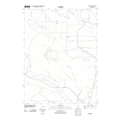 2010 Talmage2010 Print · USGSThe rural communities of Talmage and Utahn are captured here during the first decade of the 21st century. Researchers can trace the layout of the Duchesne River valley, including family landmarks like Talmage Cemetery and the Pioneer Canal.
 - 2010 Map of Tabiona, 2010 Print
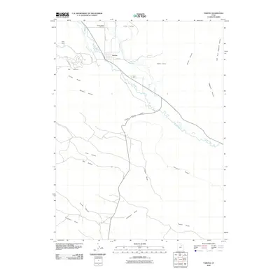 2010 Tabiona2010 Print · USGSThe Duchesne River valley at the turn of the millennium shows a landscape defined by irrigation and high-country ranching. Genealogists and local historians can trace family-named landmarks like Hicken Hollow and Barberra Hollow or locate the Tabiona-Redcliff Cemetery.
 - 2010 Map of Myton SE, 2010 Print
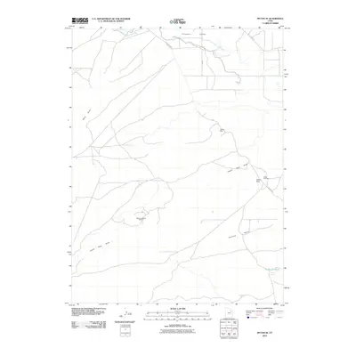 2010 Myton SE2010 Print · USGSDuchesne County at the start of the 2010s reveals a landscape defined by the Uinta Basin's energy and mineral industry. Researchers can trace the footprint of the Monument Butte Oil Field and historic sites like the Pariette Mine and Snyder Spring.
 - 2010 Map of Myton SW, 2010 Print
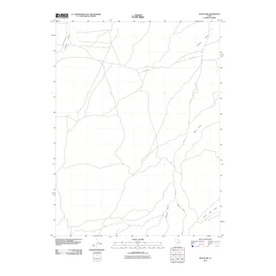 2010 Myton SW2010 Print · USGSDuchesne County at the start of the 2010s is a landscape of expansive basin drainages and managed public lands. Researchers can trace the network of access routes through Antelope Canyon and locate significant local features like Wells Draw and Gilsonite Draw.
 - 2010 Map of Duchesne, 2010 Print
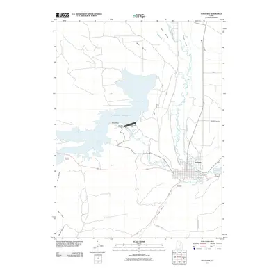 2010 Duchesne2010 Print · USGSDuchesne and its surrounding river valleys are captured here in the early twenty-first century, showcasing the massive Starvation Reservoir and its dam. Researchers can trace the layout of the city, local burial grounds like Duchesne Cemetery, and the intricate irrigation system of the CITY CANAL.
 - 2010 Map of Tabby Mountain, 2010 Print
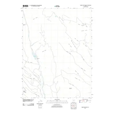 2010 Tabby Mountain2010 Print · USGSDuchesne County is shown at the start of the twenty-first century, a landscape defined by high mountain ridges and vital water storage. Researchers can trace the drainage patterns and water resources from Red Creek Reservoir to named points like Whiskey Spring and Grey Wolf Mountain.
 - 2010 Map of Bluebell, 2010 Print
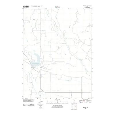 2010 Bluebell2010 Print · USGSBluebell and Upalco are shown at the start of the 21st century, illustrating a high-desert landscape transformed by extensive irrigation. Trace the complex water networks of the Big Sand Wash Reservoir and find local landmarks like the Bluebell Cemetery and Butcher Knife.
 - 2011 Map of Duchesne SW, 2011 Print
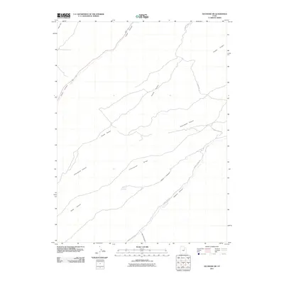 2011 Duchesne SW2011 Print · USGSDuchesne County is shown here in the early twenty-first century, defined by its high ridges and deep drainages. You can trace ranching and transit routes through Indian Canyon, Marshall Springs, and along Cottonwood Ridge Rd.
 - 2011 Map of Minnie Maud Creek East, 2011 Print
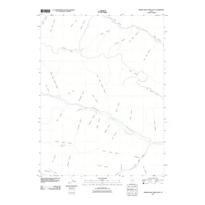 2011 Minnie Maud Creek East2011 Print · USGSDuchesne County at the turn of the 21st century remains a landscape of high ridges and deep-cut drainage basins. Researchers can trace historic transit routes like the Twist Trail and identify important water sources such as Sky-high Pond and Minnie Maud Creek.
 - 2011 Map of Cowboy Bench, 2011 Print
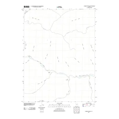 2011 Cowboy Bench2011 Print · USGSDuchesne County's rugged canyonlands are captured here in the early 21st century, showing a landscape defined by deep washes and energy extraction. Trace the historical ranching roots at Nutters Corral or the modern footprint of the Nine Mile Gas Field along the winding Nine Mile Canyon.
 - 2011 Map of Pinnacle Canyon, 2011 Print
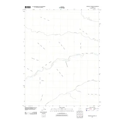 2011 Pinnacle Canyon2011 Print · USGSDuchesne County in the early twenty-first century remains a landscape defined by deep drainages and high plateaus. Researchers can trace the path of 9 Mile Canyon Rd along the floor of Nine Mile Canyon or locate Horse Bench above the Bad Land Cliffs.
 - 2011 Map of Buck Knoll, 2011 Print
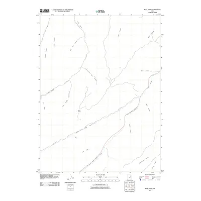 2011 Buck Knoll2011 Print · USGSDuchesne County is revealed in the early 21st century as a complex landscape of deep canyons and high ridges. Researchers can trace the industrial geography of the Raven Mine and the rugged path of the Left Fork Indian Canyon near Buck Knoll.
 - 2011 Map of Wilkin Ridge, 2011 Print
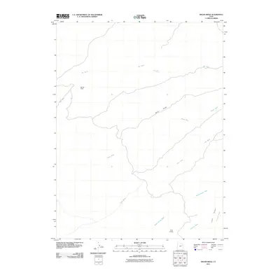 2011 Wilkin Ridge2011 Print · USGSWilkin Ridge in Duchesne County, Utah, is shown in the early 21st century as a landscape defined by seasonal watercourses and high desert knolls. Researchers can trace land use through landmarks like White Mule Spring, Twin Knolls, and the winding path of Big Wash.
 - 2011 Map of Deep Creek Canyon, 2011 Print
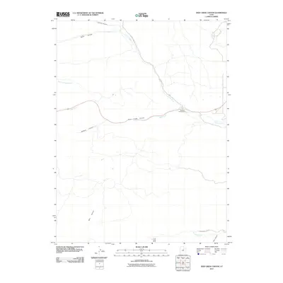 2011 Deep Creek Canyon2011 Print · USGSWasatch County high country is shown here in the early twenty-first century as a network of canyons and seasonal drainages. Hikers and researchers can trace the routes of Current Creek Rd and Strawberry River Rd through Deep Creek Canyon and past Racetrack Campground.
Showing maps 1-25 of 234
Top cities of Duchesne County
- Roosevelt historical maps
- Duchesne historical maps
- Myton historical maps
- Altamont historical maps
- Tabiona historical maps
Frequently asked questions
- What are the different types of historical maps available for Duchesne County?
- What is the oldest map of Duchesne County?
- Where can I purchase historical maps of Duchesne County for my home or office?
- Where can I download high-res historical maps of Duchesne County?
- Are there historical topographic maps available for Duchesne County?
- Is there historical aerial imagery available for Duchesne County?
- Where are historical maps of Duchesne County sourced from?