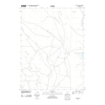
2010 Map of Neola NW
USGS Topo · Published 2010About this map
John Starr Flat and Tower Ridge dominate the northern landscape of this Duchesne County region, where the high desert terrain is shaped by a complex network of seasonal drainages and irrigation infrastructure. The map documents the vital water management systems of the early 21st century, including the Bluebell Lateral, F Canal, and the North Ditch, which redirect flow across the Clay Basin. These man-made features work in tandem with natural watercourses like Timothy Creek and Dry Gulch Creek to support the local environment. Further east, the Browns Draw Reservooir serves as a significant landmark, while the winding path of Cottonwood Wash and its associated roadway, Cottonwood Wash Rd, illustrate the primary transit corridors through this arid basin and range geography.
Find a feature on this map
25 named features on this map. Tap any name to fly to it.
Don’t see what you’re looking for? This feature index may not catch every label — zoom into the map to look around manually.
Map Details
Editions of this 2010 Neola NW Map
This is the sole edition of this map. No revisions or reprints were ever made.
Other maps of this area

1885 · Uinta
USGS Topo · 1:250,000

1905 · Gilbert Peak
USGS Topo · 1:125,000

1906 · Gilbert Peak
USGS Topo · 1:125,000

1939 · Duchesne
USGS Topo · 1:125,000

1954 · Salt Lake City
USGS Topo · 1:250,000

1958 · Salt Lake City
USGS Topo · 1:250,000

1960 · Salt Lake City
USGS Topo · 1:250,000
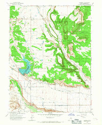
1965 · Bluebell
USGS Topo · 1:24,000
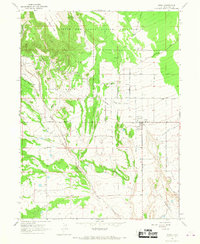
1965 · Neola
USGS Topo · 1:24,000
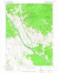
1965 · Pole Creek Cave
USGS Topo · 1:24,000