2000s (21st Century) Maps of Cedar Highlands, Utah
Explore 10 historic maps of Cedar Highlands from the 2000s (21st Century). These maps offer a rare glimpse into what life looked like during the 2000s — showing old roads, neighborhoods, homes, and landmarks that have changed or disappeared over time.
Whether you're researching your family's past, planning a metal detecting trip, or studying how Cedar Highlands's landscape evolved across the 2000s, these high-resolution maps are a powerful tool for exploring the history of this region.
- Focus on a specific era: All maps on this page are from the 2000s, giving you a focused view of this time period.
- See what’s changed: Compare century-old streets, trails, and buildings to today's modern landscape using overlays and satellite layers.
- Research with precision: Use these maps for genealogy, historical research, land use analysis, or educational projects.
- View, download, or print: Maps are fully viewable online in high resolution, and can be downloaded or printed for your own records.
Start exploring Cedar Highlands's history through authentic maps from the 2000s. This is your window into the past.
Cedar Highlands, UT maps
(10)- 2011 Map of Cedar City, 2011 Print
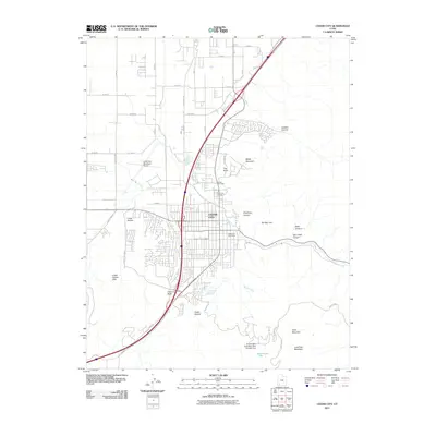 2011 Cedar City2011 Print · USGSCovers Cedar Highlands, including Cedar City, Enoch, and other nearby areas
 - 2011 Map of Cedar Mountain, 2011 Print
 2011 Cedar Mountain2011 Print · USGSCovers Cedar Highlands, including Cedar City, Iron County, and other nearby areas
 - 2014 Map of Cedar Mountain, 2014 Print
 2014 Cedar Mountain2014 Print · USGSCovers Cedar Highlands, including Cedar City, Iron County, and other nearby areas
 - 2014 Map of Cedar City, 2014 Print
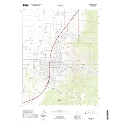
 2014 Cedar City2014 Print · USGSCovers Cedar Highlands, including Cedar City, Enoch, and other nearby areas
 - 2017 Map of Cedar Mountain, 2017 Print
 2017 Cedar Mountain2017 Print · USGSCovers Cedar Highlands, including Cedar City, Iron County, and other nearby areas
 - 2017 Map of Cedar City, 2017 Print
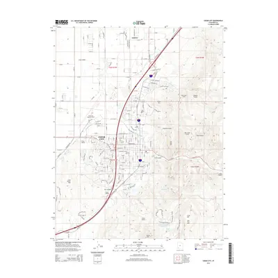
 2017 Cedar City2017 Print · USGSCovers Cedar Highlands, including Cedar City, Enoch, and other nearby areas
 - 2020 Map of Cedar Mountain, 2020 Print
 2020 Cedar Mountain2020 Print · USGSCovers Cedar Highlands, including Cedar City, Iron County, and other nearby areas
 - 2020 Map of Cedar City, 2020 Print
 2020 Cedar City2020 Print · USGSCovers Cedar Highlands, including Cedar City, Enoch, and other nearby areas
 - 2023 Map of Cedar Mountain, 2023 Print
 2023 Cedar Mountain2023 Print · USGSIron County's high-country terrain south of Cedar City is mapped here in its modern state, showing the complex canyons and plateaus of the Markagunt region. Researchers can trace the routes of Kolob Rd and Kanarra Rd past landmarks like Sugarloaf Mtn and Graff Point.
 - 2023 Map of Cedar City, 2023 Print
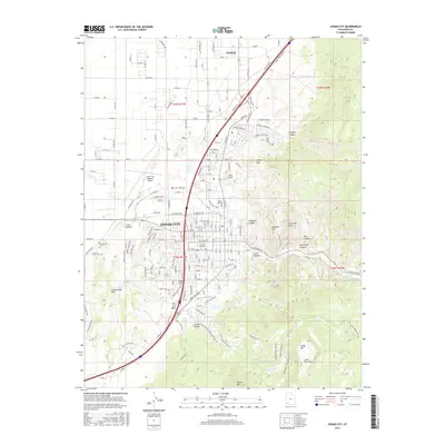
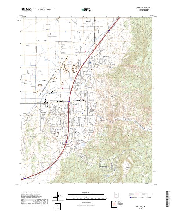 2023 Cedar City2023 Print · USGSCedar City and the surrounding Iron County high desert are shown here in the early 2020s as the community expands toward the mountains. Researchers can locate the Iron County Court House, Southern Utah University, and the Cedar City Cem while tracing drainage patterns along Coal Creek.
End of results
Showing maps 1-10 of 10
Top cities near Cedar Highlands
- Cedar City historical maps
- Enoch historical maps
- Parowan historical maps
- Kanarraville historical maps
- Summit historical maps
- Brian Head historical maps
Frequently asked questions
- What are the different types of historical maps available for Cedar Highlands?
- What is the oldest map of Cedar Highlands?
- Where can I purchase historical maps of Cedar Highlands for my home or office?
- Where can I download high-res historical maps of Cedar Highlands?
- Are there historical topographic maps available for Cedar Highlands?
- Is there historical aerial imagery available for Cedar Highlands?
- Where are historical maps of Cedar Highlands sourced from?