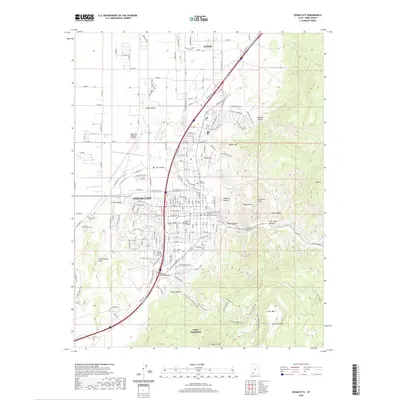
2020 Map of Cedar City
USGS Topo · Published 2020About this map
Cedar City sits at the dramatic meeting point of the high desert and the rising plateau, where the urban grid is constrained by the massive Hurricane Cliffs. This 2020 survey details the modern layout of the city, including its civic and educational heart at the Iron County Court House and Southern Utah University. The landscape to the east is defined by sharp elevation gains into Cedar Canyon and Stephens Canyon, while the western portion reveals the open Cedar Valley and the Cedar City Regional Airport. Traditional land uses are still visible through features like the Cedar Mountain Stock Driveway and the Cedar City Cem. This transition from the flat valley floor to the prominent peaks of White Mtn and Cedar Mtn illustrates the geographical barriers that have shaped Iron County's development for over a century.
Find a feature on this map
44 named features on this map. Tap any name to fly to it.
Don’t see what you’re looking for? This feature index may not catch every label — zoom into the map to look around manually.
Map Details
Editions of this 2020 Cedar City Map
This is the sole edition of this map. No revisions or reprints were ever made.
Other maps of this area

1885 · St. George
USGS Topo · 1:250,000

1886 · Kanab
USGS Topo · 1:250,000

1891 · St. George
USGS Topo · 1:250,000

1949 · Cedar City NW
USGS Topo · 1:24,000

1950 · Cedar City NW
USGS Topo · 1:24,000

1950 · Kanarraville
USGS Topo · 1:24,000

1950 · Enoch
USGS Topo · 1:24,000

1950 · Cedar City
USGS Topo · 1:24,000

1950 · Enoch
USGS Topo · 1:62,500

1950 · Cedar City
USGS Topo · 1:62,500