Old Maps of Big Water, Utah for Hiking & Exploration
Hike through history with 11 historic maps of Big Water. Explore old trails, ghost towns, and forgotten backroads — perfect for outdoor adventurers and local explorers.
- Rediscover forgotten places: Map out old mining camps, roads, and footpaths that no longer exist on modern maps.
- Layer with modern tools: Combine with LiDAR or satellite views to plan hikes through historical terrain.
- Made for exploration: Popular among hikers, overlanders, and local history lovers.
Use these maps to find adventure and explore the hidden past of Big Water.
Big Water, UT maps
(11)- 1886 Map of Escalante
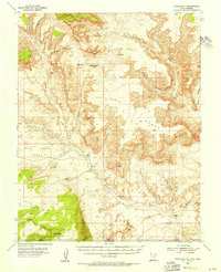
 1886 Escalante1886 Print · USGSSouthern Utah in the late 1880s was a landscape of formidable geological barriers and isolated river crossings. Modern researchers can trace the early layout of Escalante and identify historic points like The Crossing of the Fathers and Potato Valley.5 unique versions available
 - 1953 Map of Nipple Butte, 1956 Print
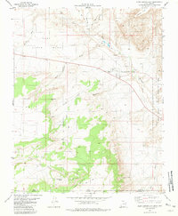
 1953 Nipple Butte1956 Print · USGSThe high plateaus of the Utah-Arizona border are shown here in the early fifties, before the landscape was altered by massive downstream damming. Researchers can trace remote water sources and cattle-country landmarks like Jacobs Tanks, Alkali Seep, and the Windmill below Nipple Butte.2 unique versions available
 - 1956 Map of Escalante
 1956 Escalante1956 Print · USGSSouthern Utah and Northern Arizona are charted here in the mid-fifties, just before the canyon floor was transformed. Researchers can trace remote desert commerce at Oljeto Trading Post, find the Adairville (ruins), and locate Uranium mines.5 unique versions available
 - 1960 Map of Escalante
 1960 Escalante1960 Print · USGSSouthern Utah and northern Arizona appear at a historic turning point in the late fifties as Lake Powell begins to reshape the canyons. Researchers can trace remote sites like Goulding Trading Post, a lonely Uranium Mine, and Coyote Ranches before the reservoir's rise.
 - 1981 Map of Glen Canyon City
 1981 Glen Canyon City1981 Print · USGSThe high desert plateau of southern Utah and northern Arizona is captured here during the early eighties. Researchers can trace remote routes and water sources like Judd Hollow Spring, the Fish Hatchery, and the isolated settlement of Glen Canyon City.2 unique versions available
 - 1985 Map of Smoky Mountain
 1985 Smoky Mountain1985 Print · USGSSouthern Utah in the mid-eighties was a landscape of rising reservoir waters and vast desert plateaus. Genealogists and historians can trace the topography around Adairville, the intricate shorelines of Lake Powell, and prominent heights like Navajo Mountain.2 unique versions available
 - 2011 Map of Big Water, 2011 Print
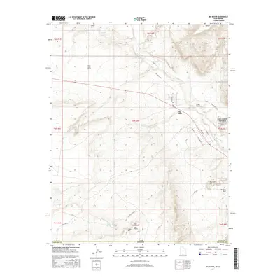
 2011 Big Water2011 Print · USGSCovers Big Water, including Coconino County, Kane County, and other nearby areas
 - 2014 Map of Big Water, 2014 Print
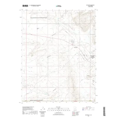
 2014 Big Water2014 Print · USGSCovers Big Water, including Coconino County, Kane County, and other nearby areas
 - 2017 Map of Big Water, 2017 Print
 2017 Big Water2017 Print · USGSCovers Big Water, including Coconino County, Kane County, and other nearby areas
 - 2020 Map of Big Water, 2020 Print
 2020 Big Water2020 Print · USGSCovers Big Water, including Coconino County, Kane County, and other nearby areas
 - 2023 Map of Big Water, 2023 Print
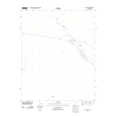
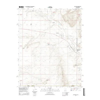
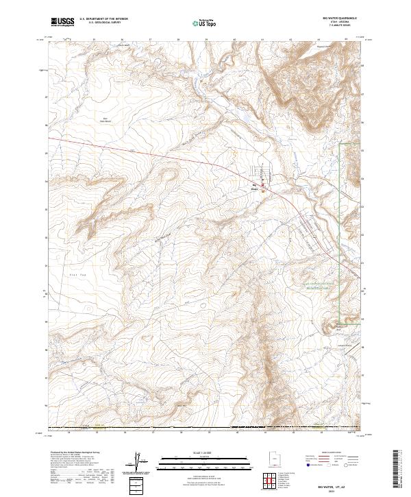 2023 Big Water2023 Print · USGSThe Kane County desert comes alive in the early twenty-first century, showcasing the gateway to the Glen Canyon backcountry and the Arizona line. Trace local landmarks like the Larkspur Airstrip, the winding Wahweap Creek, and named features such as Blue Pools Arch.
End of results
Showing maps 1-11 of 11
Top cities near Big Water
Frequently asked questions
- What are the different types of historical maps available for Big Water?
- What is the oldest map of Big Water?
- Where can I purchase historical maps of Big Water for my home or office?
- Where can I download high-res historical maps of Big Water?
- Are there historical topographic maps available for Big Water?
- Is there historical aerial imagery available for Big Water?
- Where are historical maps of Big Water sourced from?