2020s Maps of Orderville, Utah
Explore 6 historic maps of Orderville from the 2020s. These maps offer a rare glimpse into what life looked like during the 2020s — showing old roads, neighborhoods, homes, and landmarks that have changed or disappeared over time.
Whether you're researching your family's past, planning a metal detecting trip, or studying how Orderville's landscape evolved across the 2020s, these high-resolution maps are a powerful tool for exploring the history of this region.
- Focus on a specific era: All maps on this page are from the 2020s, giving you a focused view of this time period.
- See what’s changed: Compare century-old streets, trails, and buildings to today's modern landscape using overlays and satellite layers.
- Research with precision: Use these maps for genealogy, historical research, land use analysis, or educational projects.
- View, download, or print: Maps are fully viewable online in high resolution, and can be downloaded or printed for your own records.
Start exploring Orderville's history through authentic maps from the 2020s. This is your window into the past.
Orderville, UT maps
(6)- 2020 Map of Mount Carmel, 2020 Print
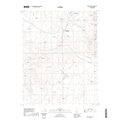 2020 Mount Carmel2020 Print · USGSCovers Orderville, including Kane County, United States, and other nearby areas
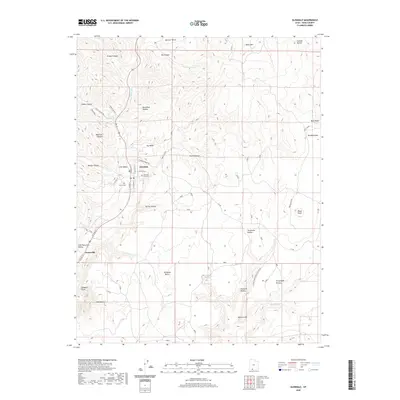
 - 2020 Map of Orderville, 2020 Print
 2020 Orderville2020 Print · USGSCovers Orderville, including Glendale, Kane County, and other nearby areas
 - 2020 Map of Glendale, 2020 Print
 2020 Glendale2020 Print · USGSCovers Orderville, including Glendale, Tortoise and Hare Trailer Court, and other nearby areas
 - 2023 Map of Orderville, 2023 Print
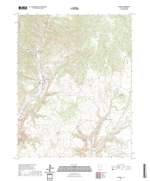
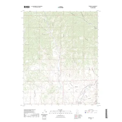 2023 Orderville2023 Print · USGSSouthern Utah's Long Valley settlements are captured here in the early 2020s as they follow the course of the East Fork Virgin River. Researchers can trace local heritage at the Orderville Cem or explore the rugged geography of the Elkheart Cliffs and Coal Hollow.
 - 2023 Map of Glendale, 2023 Print
 2023 Glendale2023 Print · USGSLong Valley and the East Fork Virgin River corridor come into sharp focus in this recent Utah survey. Genealogists can locate family sites at the Glendale City Cem or Harris Cem, while explorers trace the base of the White Cliffs.
 - 2023 Map of Mount Carmel, 2023 Print
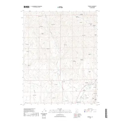
 2023 Mount Carmel2023 Print · USGSSouthern Utah's high desert plateaus meet the settlements of Mount Carmel and Orderville in this contemporary record of Kane County. Researchers can trace land features from Dianas Throne to the Mount Carmel Cem and the deep Parunuweap Canyon.
End of results
Showing maps 1-6 of 6
Top cities near Orderville
Top neighborhoods of Orderville
- Tortoise and Hare Trailer Court historical maps
- Mount Carmel Junction historical maps
- Mount Carmel historical maps
Frequently asked questions
- What are the different types of historical maps available for Orderville?
- What is the oldest map of Orderville?
- Where can I purchase historical maps of Orderville for my home or office?
- Where can I download high-res historical maps of Orderville?
- Are there historical topographic maps available for Orderville?
- Is there historical aerial imagery available for Orderville?
- Where are historical maps of Orderville sourced from?