Old Maps of Orderville, Utah for Academic Research
Study the evolution of Orderville with 25 high-resolution historic maps. Whether you're teaching, researching, or modeling changes in land use, these maps provide essential visual documentation of urban, environmental, and geographic change.
- Analyze long-term change: Track patterns in development, transportation, and natural features.
- Ideal for environmental or urban studies: Support academic projects with primary historical map data.
- Use in the classroom or lab: Educators and researchers rely on these maps to bring historical context to life.
These maps are a powerful tool for teaching, research, and visualizing how Orderville has changed over the decades.
Orderville, UT maps
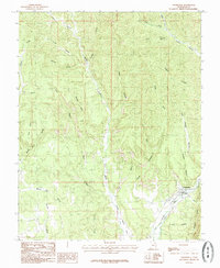
(25)- 1886 Map of Kanab
 1886 Kanab1886 Print · USGSSouthern Utah in the late nineteenth century remains a frontier of deep canyons and high plateaus. Researchers can trace early pioneer outposts and river settlements like Orderville, Mt. Carmel, and Kanab tucked beneath the Vermilion Cliffs.5 unique versions available
 - 1953 Map of Cedar City, 1966 Print
 1953 Cedar City1966 Print · USGSSouthwestern Utah's high plateaus and desert basins are mapped here during the mid-fifties, showing the region before the modern interstate system. Researchers can trace historic mining at Silver Reef, follow the Union Pacific line, and locate early settlements like Kanarraville and Toquerville.3 unique versions available
 - 1957 Map of Kanab, 1960 Print
 1957 Kanab1960 Print · USGSSouthern Utah during the mid-fifties shows a landscape of deep canyons and high desert mesas on the edge of the Arizona border. Genealogists and historians can trace the early layout of Kanab and Mt Carmel, alongside remote sites like a Cliff Dwelling and the Foot Ranch.2 unique versions available
 - 1958 Map of Cedar City
 1958 Cedar City1958 Print · USGSSouthwestern Utah in the late fifties was a land of mineral extraction and monumental landscapes. Genealogists and historians can trace pioneer-era settlements like Grafton and Parowan alongside industrial sites such as the Silver Reef Mine.2 unique versions available
 - 1958 Map of Orderville, 1960 Print
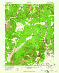
 1958 Orderville1960 Print · USGSSouthern Utah's high plateaus and river valleys are captured here in the late fifties, showing the rural communities of the Virgin River. Genealogists and historians can locate Valley Sch, the local Cem, and landmarks like Strawberry Point.2 unique versions available
 - 1962 Map of Cedar City
 1962 Cedar City1962 Print · USGSSouthern Utah in the early sixties showcases a landscape of dramatic plateaus and historic mining outposts. Trace the early settlement patterns at the Silver Reef (ruins), locate the Iron Mine near the Hurricane Cliffs, or find the Fort Harmony Monument.
 - 1980 Map of Kanab, 1981 Print
 1980 Kanab1981 Print · USGSSouthern Utah in the late seventies is a landscape of massive geologic terraces and isolated ranching towns. Trace the growth of Kanab and Springdale or locate vanished sites like Shunesburg among the White Cliffs and Vermilion Cliffs.
 - 1985 Map of Mount Carmel
 1985 Mount Carmel1985 Print · USGSSouthern Kane County in the mid-1980s reveals a landscape defined by the intersection of high-desert geology and the Virgin River. Researchers can trace the development of Mount Carmel and Mount Carmel Junction or locate landmarks like Dianas Throne and Moncur Spring.
 - 1985 Map of Glendale
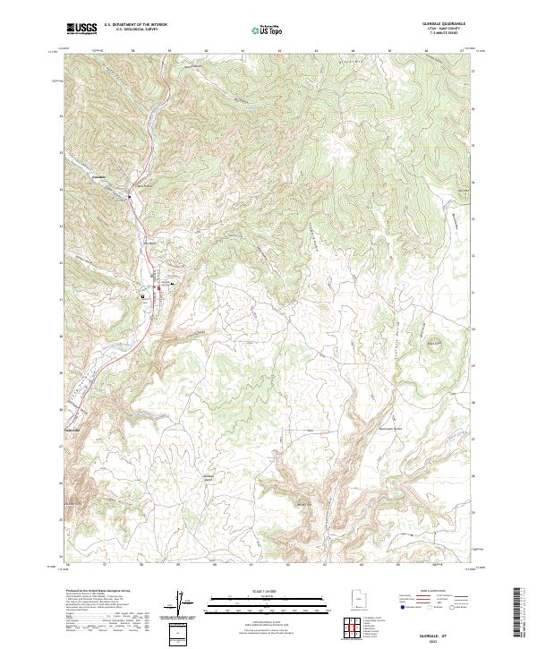
 1985 Glendale1985 Print · USGSSouthern Utah's high plateau country is captured in the mid-1980s, centered on the community of Glendale as it follows the Virgin River. Researchers can trace old canyon access routes and landmarks like the Cem, Kanab Cliffs, and the Glendale Bench.
 - 1985 Map of Orderville
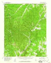
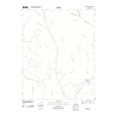
 1985 Orderville1985 Print · USGSOrderville and the surrounding canyon country are captured here in the mid-1980s, showing the settlement's relationship to the high desert terrain. Genealogists and historians can trace the paths between Long Valley, the Elkheart Cliffs, and local landmarks like Mineral Gulch.
 - 2010 Map of Orderville, 2010 Print
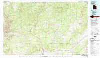
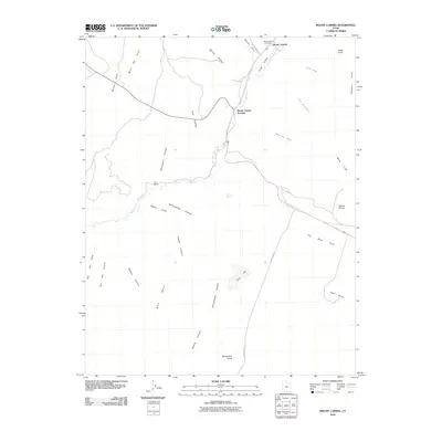
 2010 Orderville2010 Print · USGSCovers Orderville, including Glendale, Kane County, and other nearby areas
 - 2010 Map of Glendale, 2010 Print
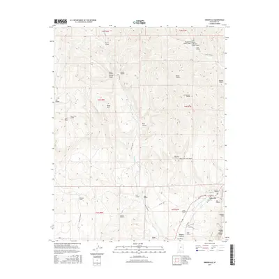
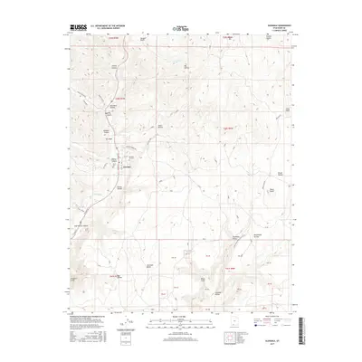
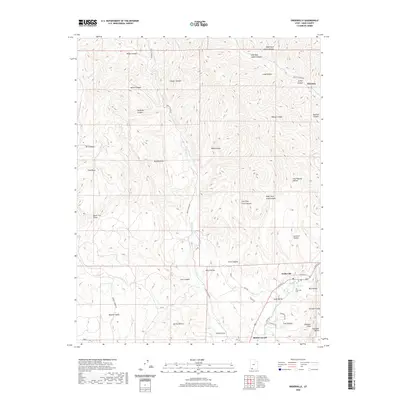
 2010 Glendale2010 Print · USGSCovers Orderville, including Glendale, Tortoise and Hare Trailer Court, and other nearby areas
 - 2010 Map of Mount Carmel, 2010 Print
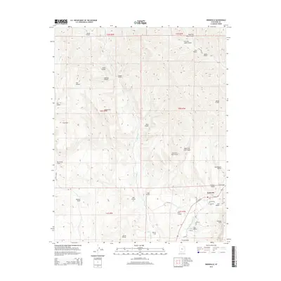
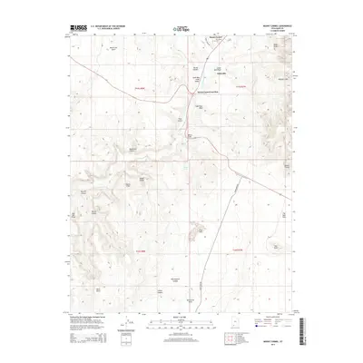
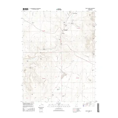
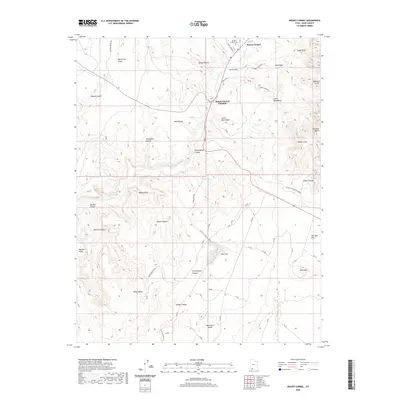
 2010 Mount Carmel2010 Print · USGSCovers Orderville, including Kane County, United States, and other nearby areas
 - 2014 Map of Glendale, 2014 Print
 2014 Glendale2014 Print · USGSCovers Orderville, including Glendale, Tortoise and Hare Trailer Court, and other nearby areas
 - 2014 Map of Orderville, 2014 Print
 2014 Orderville2014 Print · USGSCovers Orderville, including Glendale, Kane County, and other nearby areas
 - 2014 Map of Mount Carmel, 2014 Print
 2014 Mount Carmel2014 Print · USGSCovers Orderville, including Kane County, United States, and other nearby areas
 - 2017 Map of Orderville, 2017 Print
 2017 Orderville2017 Print · USGSCovers Orderville, including Glendale, Kane County, and other nearby areas
 - 2017 Map of Mount Carmel, 2017 Print
 2017 Mount Carmel2017 Print · USGSCovers Orderville, including Kane County, United States, and other nearby areas
 - 2017 Map of Glendale, 2017 Print
 2017 Glendale2017 Print · USGSCovers Orderville, including Glendale, Tortoise and Hare Trailer Court, and other nearby areas
 - 2020 Map of Mount Carmel, 2020 Print
 2020 Mount Carmel2020 Print · USGSCovers Orderville, including Kane County, United States, and other nearby areas
 - 2020 Map of Orderville, 2020 Print
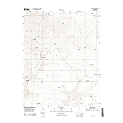
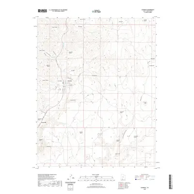
 2020 Orderville2020 Print · USGSCovers Orderville, including Glendale, Kane County, and other nearby areas
 - 2020 Map of Glendale, 2020 Print
 2020 Glendale2020 Print · USGSCovers Orderville, including Glendale, Tortoise and Hare Trailer Court, and other nearby areas
 - 2023 Map of Orderville, 2023 Print
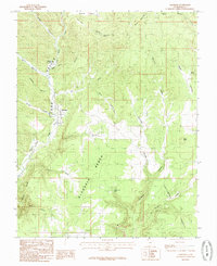
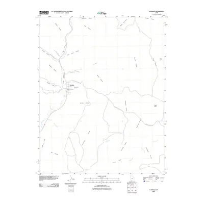
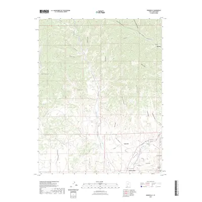 2023 Orderville2023 Print · USGSSouthern Utah's Long Valley settlements are captured here in the early 2020s as they follow the course of the East Fork Virgin River. Researchers can trace local heritage at the Orderville Cem or explore the rugged geography of the Elkheart Cliffs and Coal Hollow.
 - 2023 Map of Glendale, 2023 Print
 2023 Glendale2023 Print · USGSLong Valley and the East Fork Virgin River corridor come into sharp focus in this recent Utah survey. Genealogists can locate family sites at the Glendale City Cem or Harris Cem, while explorers trace the base of the White Cliffs.
 - 2023 Map of Mount Carmel, 2023 Print
 2023 Mount Carmel2023 Print · USGSSouthern Utah's high desert plateaus meet the settlements of Mount Carmel and Orderville in this contemporary record of Kane County. Researchers can trace land features from Dianas Throne to the Mount Carmel Cem and the deep Parunuweap Canyon.
End of results
Showing maps 1-25 of 25
Top cities near Orderville
Top neighborhoods of Orderville
- Tortoise and Hare Trailer Court historical maps
- Mount Carmel Junction historical maps
- Mount Carmel historical maps
Frequently asked questions
- What are the different types of historical maps available for Orderville?
- What is the oldest map of Orderville?
- Where can I purchase historical maps of Orderville for my home or office?
- Where can I download high-res historical maps of Orderville?
- Are there historical topographic maps available for Orderville?
- Is there historical aerial imagery available for Orderville?
- Where are historical maps of Orderville sourced from?