2000s (21st Century) Maps of Morgan County, Utah
Explore 110 historic maps of Morgan County from the 2000s (21st Century). These maps offer a rare glimpse into what life looked like during the 2000s — showing old roads, neighborhoods, homes, and landmarks that have changed or disappeared over time.
Whether you're researching your family's past, planning a metal detecting trip, or studying how Morgan County's landscape evolved across the 2000s, these high-resolution maps are a powerful tool for exploring the history of this region.
- Focus on a specific era: All maps on this page are from the 2000s, giving you a focused view of this time period.
- See what’s changed: Compare century-old streets, trails, and buildings to today's modern landscape using overlays and satellite layers.
- Research with precision: Use these maps for genealogy, historical research, land use analysis, or educational projects.
- View, download, or print: Maps are fully viewable online in high resolution, and can be downloaded or printed for your own records.
Start exploring Morgan County's history through authentic maps from the 2000s. This is your window into the past.
Morgan County, UT maps
(110)- 2010 Map of Heiners Creek, 2010 Print
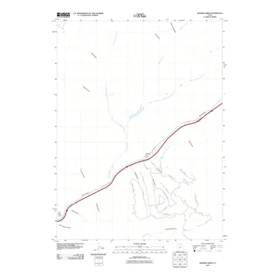 2010 Heiners Creek2010 Print · USGSEmory and the surrounding Summit County highlands appear in this detailed study of the canyon-and-creek landscape during the early twenty-first century. Researchers can trace the layout of Emory, locate the Emory Cemetery, and explore the drainage systems of Heiners Creek and Echo Creek.
 - 2010 Map of Henefer, 2010 Print
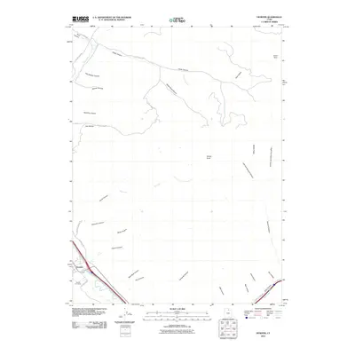 2010 Henefer2010 Print · USGSThe Weber River valley in the early 21st century remains centered on the town of Henefer, where agricultural roots meet a landscape of named canyons. Genealogists and local historians can trace family sites near Henefer Cemetery or explore the drainage networks of Black Hawk Canyon and China Town.
 - 2011 Map of Devils Slide, 2011 Print
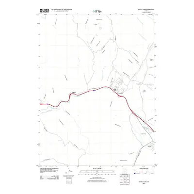 2011 Devils Slide2011 Print · USGSThe Weber River corridor in Summit County is shown here in the early twenty-first century, tracing the narrow valley floor between steep canyons. Researchers can locate the Croydon Cemetery and the famous Devils Slide formation, along with the settlements of Henefer and Croydon.
 - 2011 Map of Morgan, 2011 Print
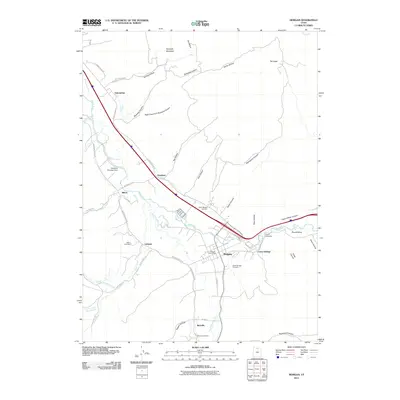 2011 Morgan2011 Print · USGSThe Weber River valley was a thriving agricultural and transport corridor in northern Utah during the early 2000s. Researchers can trace family history at the Richville Cemetery or locate old water works like the Stoddard Diversion Dam.
 - 2011 Map of Porterville, 2011 Print
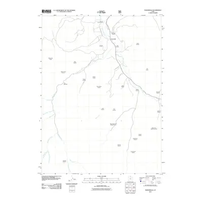 2011 Porterville2011 Print · USGSPorterville and its surrounding canyons are captured here in the early twenty-first century as the rural landscape continues its long-standing relationship with the valley's waterways. Researchers can locate the Porterville Cemetery and trace the paths of Hardscrabble Creek and East Canyon Creek.
 - 2011 Map of Bountiful Peak, 2011 Print
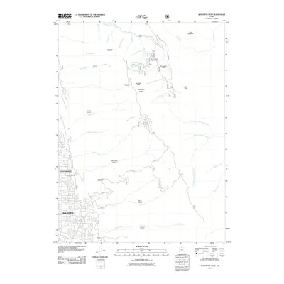 2011 Bountiful Peak2011 Print · USGSThe foothills of Davis County meet the high Wasatch peaks in the early 21st century as residential growth presses against the mountains. Genealogists and hikers can trace the geography from Centerville and Bountiful up into Ward Canyon, Steed Canyon, and the high Farmington Flats.
 - 2011 Map of Mountain Dell, 2011 Print
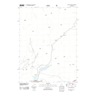 2011 Mountain Dell2011 Print · USGSSalt Lake County's high canyon country is captured here during the early twenty-first century, showing the intersection of historic travel routes and modern recreation. Researchers can trace the path of Emigration Creek past Last Camp and the Mountain Dell Reservoir or locate the old The Sheep Trl.
 - 2011 Map of Wanship, 2011 Print
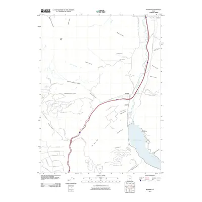 2011 Wanship2011 Print · USGSThe Weber River valley and its canyon country are captured here in the early twenty-first century as the region balanced its rural roots with modern infrastructure. Genealogists and local historians can locate the Hoytsville Cemetery, Wanship Cemetery, and the expansive reach of Rockport Lake.
 - 2011 Map of East Canyon Reservoir, 2011 Print
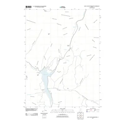 2011 East Canyon Reservoir2011 Print · USGSThe high country of Summit County comes into focus in the early 2010s, centered on the vital waters of the East Canyon Reservoir. Genealogists and historians can locate the site of Grants Grave or trace the path of the Broad Hollow Pioneer Tr.
 - 2011 Map of Big Dutch Hollow, 2011 Print
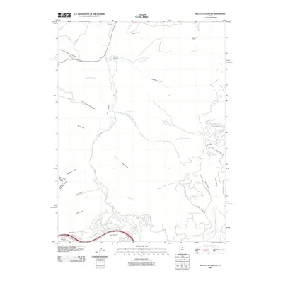 2011 Big Dutch Hollow2011 Print · USGSSummit County's high country is captured here during a period of modern expansion and residential growth. Genealogists and local historians can trace the development of the area around Macfarlane Ranch, the high pass at Parleys Summit, and the remote structure of The Salt Box.
 - 2011 Map of Coalville, 2011 Print
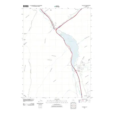 2011 Coalville2011 Print · USGSThe river valleys and canyons of Summit County come into focus in this early twenty-first-century survey of Coalville and Echo. Genealogists and local historians can locate the Coalville Cemetery, Echo Cemetery, and landmarks like the Coalville Post Office.
 - 2011 Map of Fort Douglas, 2011 Print
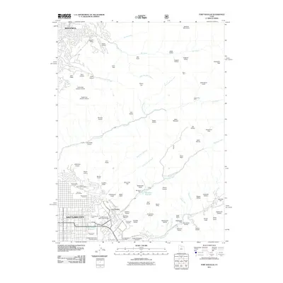 2011 Fort Douglas2011 Print · USGSSalt Lake City and the surrounding Wasatch Front are captured in detail during the early twenty-first century as the city climbs the eastern foothills. Genealogists and historians can trace the grounds of Fort Douglas, the University of Utah, and the Salt Lake City Cemetery.
 - 2011 Map of Snow Basin, 2011 Print
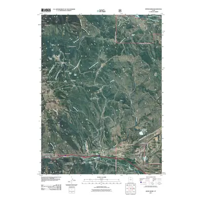 2011 Snow Basin2011 Print · USGSMorgan Valley and the high Wasatch peaks are captured here in the early twenty-first century as recreation and rural life meet. Trace mountain landmarks from The Needles and Snow Basin Ski Area down to valley sites like Mountain Green Cemetery and the Strawberry Mine.
 - 2011 Map of Francis Canyon, 2011 Print
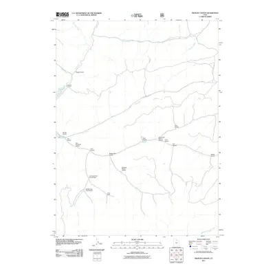 2011 Francis Canyon2011 Print · USGSUpper Summit County at the start of the 2010s is a landscape defined by high-country hydrology and forest recreation. Map collectors and researchers can trace the intricate drainages of Squaw Creek and Trail Creek or locate landmarks like Doc Dorlands Hollow and the Lost Creek Campground.
 - 2011 Map of Lost Creek Dam, 2011 Print
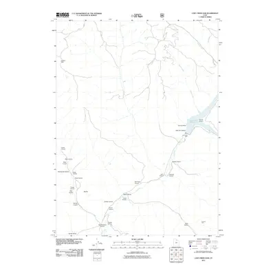 2011 Lost Creek Dam2011 Print · USGSWeber County highlands and the waters of the Lost Creek Reservoir are documented here in the early twenty-first century. Researchers can locate the Robinson Mine and trace the complex network of mountain drainages from Guilder Peak to Hell Canyon.
 - 2011 Map of Peck Canyon, 2011 Print
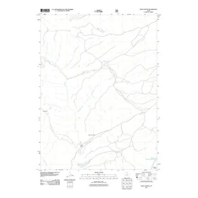 2011 Peck Canyon2011 Print · USGSMorgan County, Utah, was recorded in the early twenty-first century as a land of vital creek networks and managed water resources. Researchers can trace the drainage of Peck Canyon and locate landmarks like Saleratus Reservoir Number 3 and Sawmill Creek.
 - 2011 Map of Horse Ridge, 2011 Print
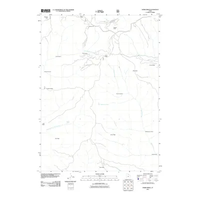 2011 Horse Ridge2011 Print · USGSThe high ridges of eastern Weber County are revealed in the early twenty-first century, showing the rugged headwaters of the Ogden River. Researchers can trace historic mountain routes and local landmarks like Wonder Spring, Squaw Flat, and the namesake Horse Ridge.
 - 2011 Map of Shearing Corral, 2011 Print
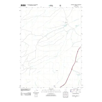 2011 Shearing Corral2011 Print · USGSThis part of Summit County is captured just after the millennium, showing a landscape defined by ranching heritage and water management. Genealogists and historians can trace local landmarks like Shearing Corral, the settlement of Curvo, and the Tunnel Hollow passage.
 - 2011 Map of Bybee Knoll, 2011 Print
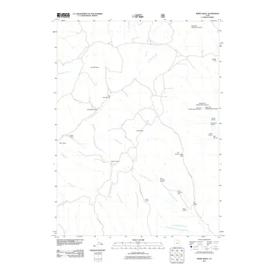 2011 Bybee Knoll2011 Print · USGSWeber County in the early twenty-first century reveals a landscape of high ridges and named canyons. Genealogists and local historians can trace family-named landmarks like Tom Condies Flat, Bybee Knoll, and Maggie Hopkins Cottonwood Creek.
 - 2011 Map of Peterson, 2011 Print
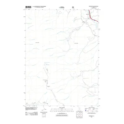 2011 Peterson2011 Print · USGSIn the early twenty-first century, the settlement of Peterson sits at the foot of the high Wasatch ridgeline. Genealogists and hikers can trace historical sites like Peterson Cemetery or modern landmarks such as the Francis Radar Station.
 - 2011 Map of Durst Mountain, 2011 Print
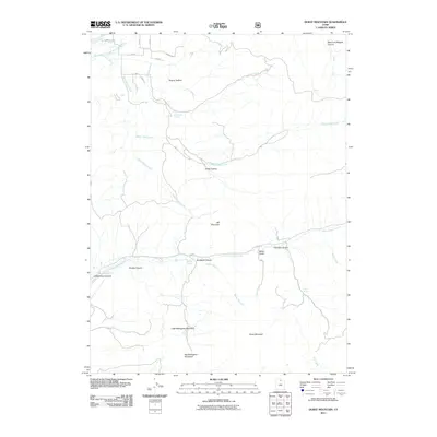 2011 Durst Mountain2011 Print · USGSThe peaks of the Wasatch Range stand in high detail during the early 2000s, showing a landscape defined by significant drainage networks and named summits. Researchers can trace the paths of Sheep Herd Creek or locate family-named landmarks like Hardy Hollow and Miller Gulch.
 - 2011 Map of Ogden, 2011 Print
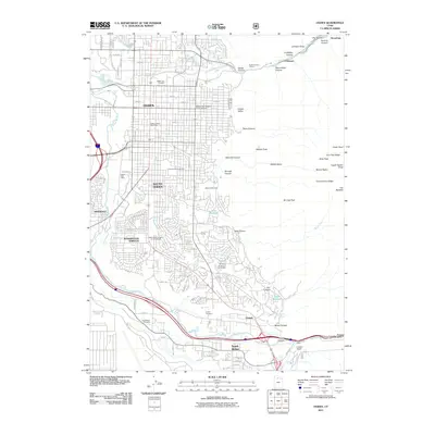 2011 Ogden2011 Print · USGSThe Wasatch Front at the start of the twenty-first century shows a dense network of suburbs and mountain canyons. Genealogists can locate several major burial sites, including Ogden City Cemetery, while hikers can trace paths through Waterfall Canyon and Hidden Valley.
 - 2014 Map of Durst Mountain, 2014 Print
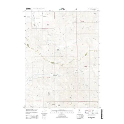 2014 Durst Mountain2014 Print · USGSHigh mountain terrain on the Weber and Morgan County border comes into focus in this recent survey. Topographic detail allows you to trace the high ridges of Durst Mtn and locate water sources like Monastery Spring and Sulphur Springs.
 - 2014 Map of East Canyon Reservoir, 2014 Print
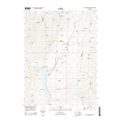 2014 East Canyon Reservoir2014 Print · USGSThe high canyons of the Wasatch Range come alive on this 2014 survey of the Morgan and Summit county border. Genealogists and historians can trace the Broad Hollow-Pioneer Trl, locate Grants Grave, and explore the shoreline of East Canyon Reservoir.
 - 2014 Map of Bountiful Peak, 2014 Print
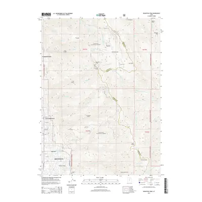 2014 Bountiful Peak2014 Print · USGSDavis County communities sit at the foot of the Wasatch Range in the early 2010s, where town grids meet the national forest. Genealogists and local historians can trace family sites near Lakeview Cem, Centerville Memorial Park, and Farmington Lake.
Showing maps 1-25 of 110
Top cities of Morgan County
Frequently asked questions
- What are the different types of historical maps available for Morgan County?
- What is the oldest map of Morgan County?
- Where can I purchase historical maps of Morgan County for my home or office?
- Where can I download high-res historical maps of Morgan County?
- Are there historical topographic maps available for Morgan County?
- Is there historical aerial imagery available for Morgan County?
- Where are historical maps of Morgan County sourced from?