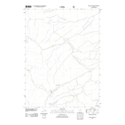
2011 Map of Peck Canyon
USGS Topo · Published 2011About this map
Peck Canyon and the surrounding drainage basins of Morgan County define this part of the northern Utah landscape. The area is characterized by a complex network of waterways, including Freestone Creek and Lost Creek in the northwest, which converge toward the more central Beaver Creek and Bull Nelson Creek. The presence of named features like Sawmill Creek and Saleratus Reservoir Number 3 suggests a history of localized water management and resource extraction. Significant elevation changes are marked by Blue Ridge and Little Peck Canyon, while the southeastern corner is anchored by the distinct Lake Hollow. This 2011 survey illustrates the modern configuration of access roads and hydraulic features, such as Saleratus Creek, that support the region's agricultural and ranching infrastructure.
Find a feature on this map
13 named features on this map. Tap any name to fly to it.
Don’t see what you’re looking for? This feature index may not catch every label — zoom into the map to look around manually.
Map Details
Editions of this 2011 Peck Canyon Map
This is the sole edition of this map. No revisions or reprints were ever made.
Other maps of this area

1954 · Ogden
USGS Topo · 1:250,000

1958 · Ogden
USGS Topo · 1:250,000

1960 · Ogden
USGS Topo · 1:250,000

1964 · Lost Creek Dam
USGS Topo · 1:24,000

1964 · Francis Canyon
USGS Topo · 1:24,000

1968 · Horse Ridge
USGS Topo · 1:24,000

1968 · Dairy Ridge
USGS Topo · 1:24,000

1968 · Shearing Corral
USGS Topo · 1:24,000

1968 · Mc Kay Hollow
USGS Topo · 1:24,000

1968 · Meachum Ridge
USGS Topo · 1:24,000