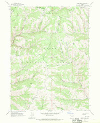
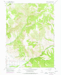
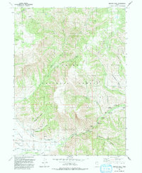
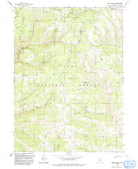
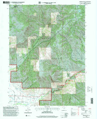
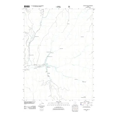
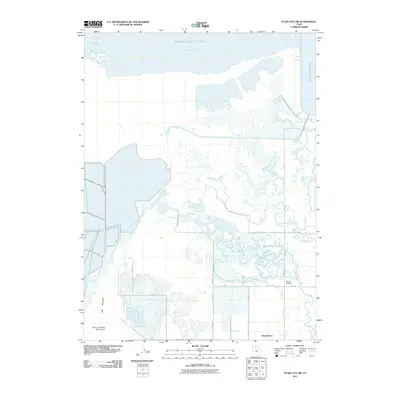
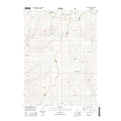
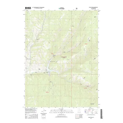
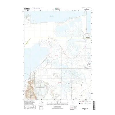
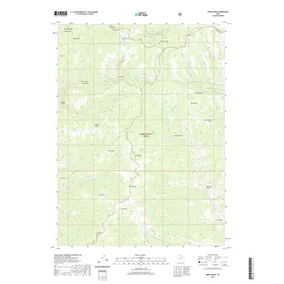
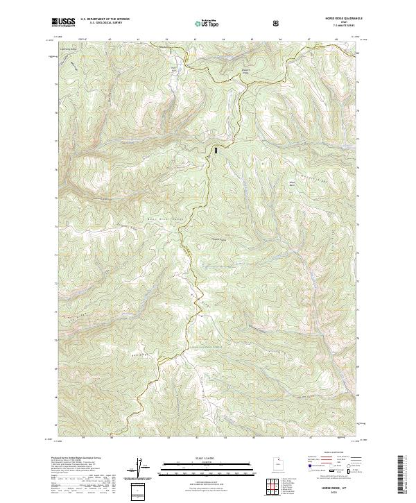
1968 Map of Horse Ridge
USGS Topo · Published 1970About this map
Cache National Forest encompasses this high mountain landscape where the borders of Rich, Weber, and Morgan counties meet. The terrain is defined by a series of prominent divides, including Horse Ridge and Lightning Ridge, which separate deep drainages like Sawmill Canyon and Bear Canyon. At this time in the late 1960s, the area remained largely undeveloped, characterized by a network of primitive transportation routes labeled as Jeep Trails and Pack Trails. Water sources are vital landmarks in this arid high-elevation environment, notably the South Fork Ogden River and isolated points such as Wonder Spring. The map reveals the topographical complexity of the Wasatch Range, where early land use is hinted at by features like Squaw Flat and Knighton Ridge.
Find a feature on this map
36 named features on this map. Tap any name to fly to it.
Don’t see what you’re looking for? This feature index may not catch every label — zoom into the map to look around manually.
Map Details
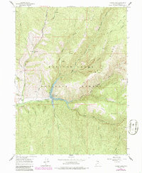
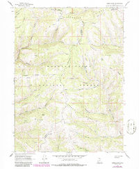
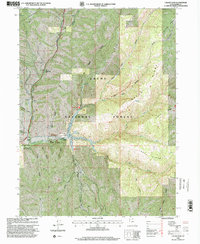
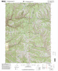
Editions of this 1968 Horse Ridge Map

Historical Maps of Weber County Through Time
48 maps found
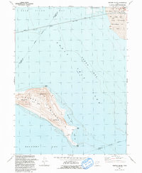
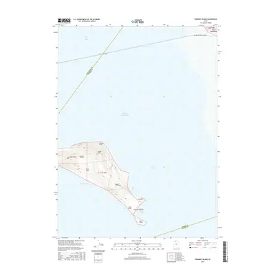
1955 Fremont Island
Weber County, UT
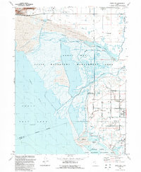
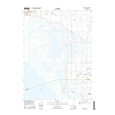
1955 Ogden Bay
Weber County, UT
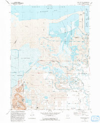
1955 Plain City SW
Weber County, UT
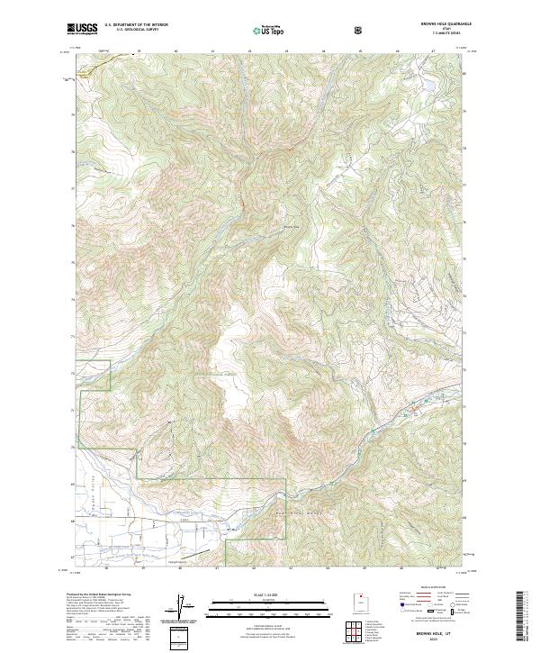
1964 Browns Hole
Weber County, UT
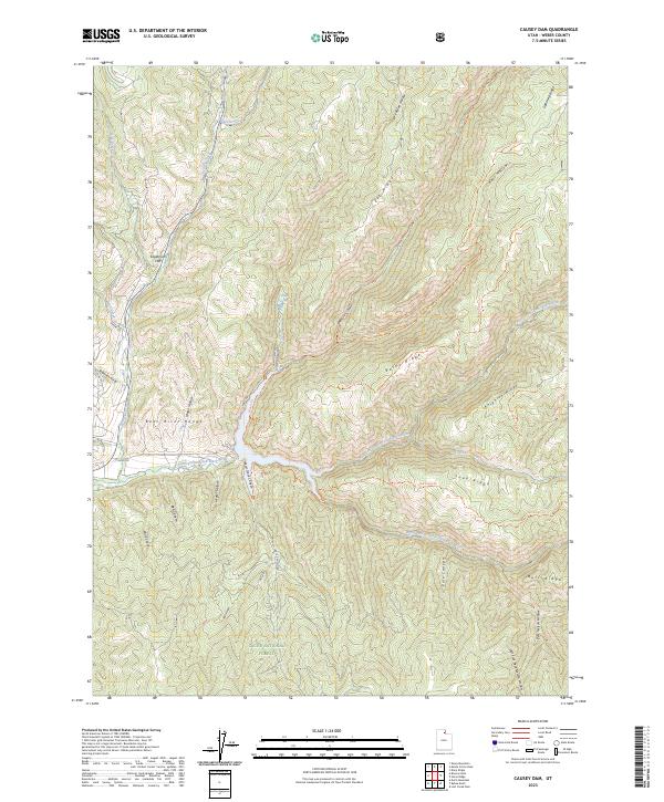
1964 Causey Dam
Weber County, UT
1968 Horse Ridge
Weber County, UT
1972 Fremont Island
Weber County, UT
1972 Ogden Bay
Weber County, UT
1972 Plain City SW
Weber County, UT
1991 Browns Hole
Weber County, UT
1991 Causey Dam
Weber County, UT
1991 Fremont Island
Weber County, UT
1991 Horse Ridge
Weber County, UT
1991 Ogden Bay
Weber County, UT
1991 Plain City SW
Weber County, UT
1998 Browns Hole
Weber County, UT
1998 Causey Dam
Weber County, UT
1998 Horse Ridge
Weber County, UT
2011 Browns Hole
Weber County, UT
2011 Causey Dam
Weber County, UT
2011 Fremont Island
Weber County, UT
2011 Horse Ridge
Weber County, UT
2011 Ogden Bay
Weber County, UT
2011 Plain City SW
Weber County, UT
2014 Browns Hole
Weber County, UT
2014 Causey Dam
Weber County, UT
2014 Fremont Island
Weber County, UT
2014 Horse Ridge
Weber County, UT
2014 Ogden Bay
Weber County, UT
2014 Plain City SW
Weber County, UT
2017 Browns Hole
Weber County, UT
2017 Causey Dam
Weber County, UT
2017 Fremont Island
Weber County, UT
2017 Horse Ridge
Weber County, UT
2017 Ogden Bay
Weber County, UT
2017 Plain City SW
Weber County, UT
2020 Browns Hole
Weber County, UT
2020 Causey Dam
Weber County, UT
2020 Fremont Island
Weber County, UT
2020 Horse Ridge
Weber County, UT
2020 Ogden Bay
Weber County, UT
2020 Plain City SW
Weber County, UT
2023 Browns Hole
Weber County, UT
2023 Causey Dam
Weber County, UT
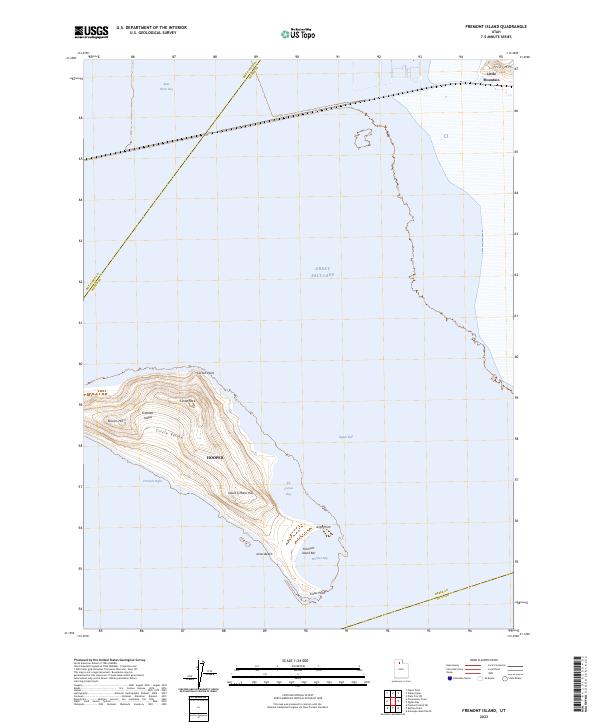
2023 Fremont Island
Weber County, UT
2023 Horse Ridge
Weber County, UT
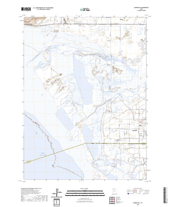
2023 Ogden Bay
Weber County, UT
2023 Plain City SW
Weber County, UT