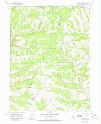
1968 Map of Horse Ridge
USGS Topo · Published 1978About this map
The Cache National Forest dominates this high-altitude landscape where the borders of Weber, Morgan, and Rich counties meet. The area is defined by a series of parallel drainage systems and sharp divides, notably the expansive Horse Ridge and Wasatch Ridge. Resource management and early frontier industry are evident in features like Sawmill Canyon, while the intricate network of water sources includes Wonder Spring and the Ogden River South Fork.
Find a feature on this map
40 named features on this map. Tap any name to fly to it.
Don’t see what you’re looking for? This feature index may not catch every label — zoom into the map to look around manually.
Map Details
Editions of this 1968 Horse Ridge Map
Other maps of this area

1954 · Ogden
USGS Topo · 1:250,000

1958 · Ogden
USGS Topo · 1:250,000

1960 · Ogden
USGS Topo · 1:250,000

1961 · Morgan
USGS Topo · 1:62,500

1964 · Lost Creek Dam
USGS Topo · 1:24,000

1964 · Monte Cristo PK
USGS Topo · 1:24,000

1964 · Francis Canyon
USGS Topo · 1:24,000
1964 · Causey Dam
USGS Topo · 1:24,000

1968 · Horse Ridge
USGS Topo · 1:24,000

1968 · Dairy Ridge
USGS Topo · 1:24,000