2000s (21st Century) Maps of Joseph, Utah
Explore 12 historic maps of Joseph from the 2000s (21st Century). These maps offer a rare glimpse into what life looked like during the 2000s — showing old roads, neighborhoods, homes, and landmarks that have changed or disappeared over time.
Whether you're researching your family's past, planning a metal detecting trip, or studying how Joseph's landscape evolved across the 2000s, these high-resolution maps are a powerful tool for exploring the history of this region.
- Focus on a specific era: All maps on this page are from the 2000s, giving you a focused view of this time period.
- See what’s changed: Compare century-old streets, trails, and buildings to today's modern landscape using overlays and satellite layers.
- Research with precision: Use these maps for genealogy, historical research, land use analysis, or educational projects.
- View, download, or print: Maps are fully viewable online in high resolution, and can be downloaded or printed for your own records.
Start exploring Joseph's history through authentic maps from the 2000s. This is your window into the past.
Joseph, UT maps
(12)- 2001 Map of Elsinore, 2003 Print
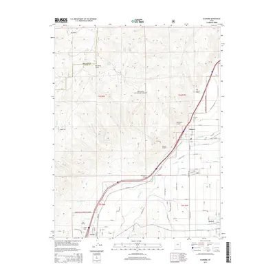
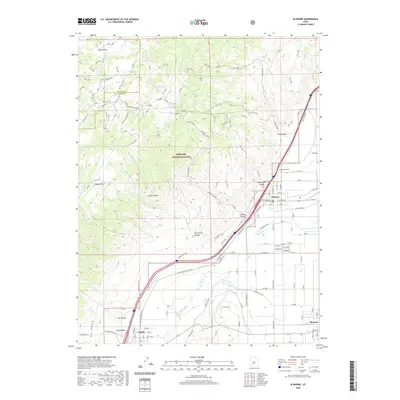
 2001 Elsinore2003 Print · USGSThe Sevier Valley at the turn of the millennium was a hub of irrigation-based agriculture and small-town life. Researchers can trace the path of historic waterworks like the Elsinore Canal and locate family landmarks in Elsinore, Joseph, and Monroe.
 - 2001 Map of Antelope Range, 2003 Print
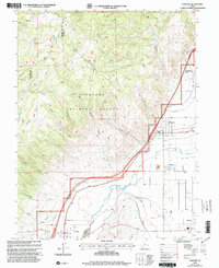
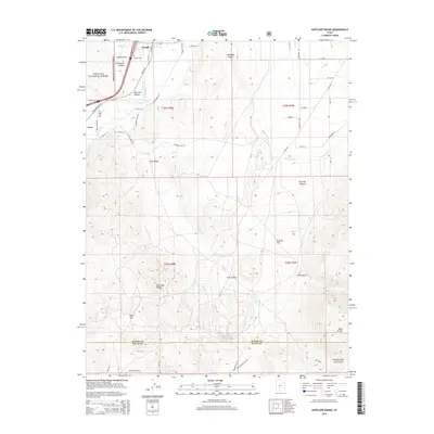
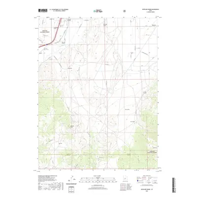
 2001 Antelope Range2003 Print · USGSThe Sevier River valley comes into focus in the early 2000s, showing the settled corridor between Joseph and Monroe alongside the Antelope Range. Researchers can trace irrigation networks like Bentleson Ditch and find local landmarks such as Bald Knoll and the Graveyard in Joseph Hollow.
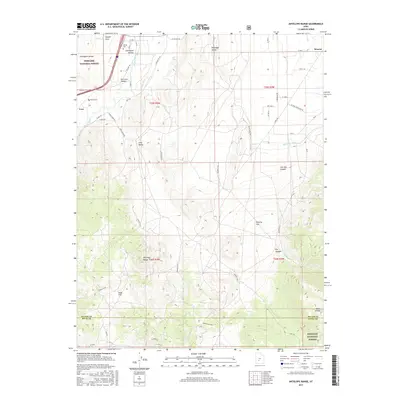
 - 2011 Map of Antelope Range, 2011 Print
 2011 Antelope Range2011 Print · USGSCovers Joseph, including Monroe, Cove, and other nearby areas
 - 2011 Map of Elsinore, 2011 Print
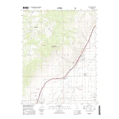
 2011 Elsinore2011 Print · USGSCovers Joseph, including Monroe, Elsinore, and other nearby areas
 - 2014 Map of Antelope Range, 2014 Print
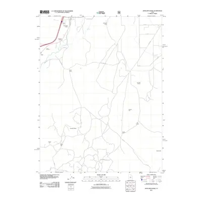
 2014 Antelope Range2014 Print · USGSCovers Joseph, including Monroe, Cove, and other nearby areas
 - 2014 Map of Elsinore, 2014 Print
 2014 Elsinore2014 Print · USGSCovers Joseph, including Monroe, Elsinore, and other nearby areas
 - 2017 Map of Antelope Range, 2017 Print
 2017 Antelope Range2017 Print · USGSCovers Joseph, including Monroe, Cove, and other nearby areas
 - 2017 Map of Elsinore, 2017 Print
 2017 Elsinore2017 Print · USGSCovers Joseph, including Monroe, Elsinore, and other nearby areas
 - 2020 Map of Antelope Range, 2020 Print
 2020 Antelope Range2020 Print · USGSCovers Joseph, including Monroe, Cove, and other nearby areas
 - 2020 Map of Elsinore, 2020 Print
 2020 Elsinore2020 Print · USGSCovers Joseph, including Monroe, Elsinore, and other nearby areas
 - 2023 Map of Elsinore, 2023 Print
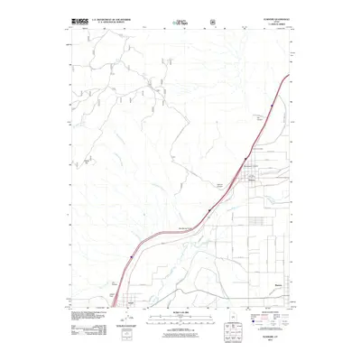
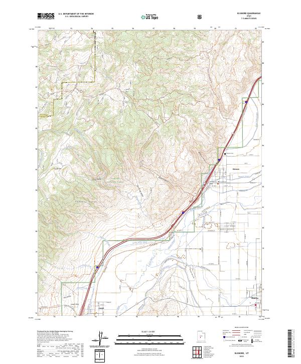 2023 Elsinore2023 Print · USGSElsinore and the Sevier River valley are mapped here in the early twenty-first century, showing the intricate canal systems and mountain trails of central Utah. Researchers can trace the Sevier Valley Canal, locate the Elsinore Cem, and explore the high Pahvant Range terrain.
 - 2023 Map of Antelope Range, 2023 Print
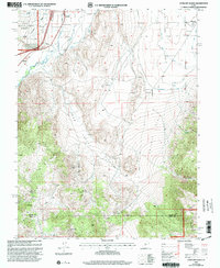
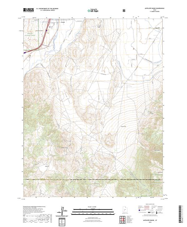 2023 Antelope Range2023 Print · USGSSevier County ranching and irrigation are captured here in the contemporary era, showing the vital relationship between the river and the valley floor. Genealogists and locals can locate the Joseph Cem, Sevier Cem, and the path of the Sevier-Valley Canal.
End of results
Showing maps 1-12 of 12
Top cities near Joseph
- Richfield historical maps
- Monroe historical maps
- Elsinore historical maps
- Annabella historical maps
- Kanosh historical maps
- Central Valley historical maps
See more
Frequently asked questions
- What are the different types of historical maps available for Joseph?
- What is the oldest map of Joseph?
- Where can I purchase historical maps of Joseph for my home or office?
- Where can I download high-res historical maps of Joseph?
- Are there historical topographic maps available for Joseph?
- Is there historical aerial imagery available for Joseph?
- Where are historical maps of Joseph sourced from?