Old Maps of Henefer, Utah for Hiking & Exploration
Hike through history with 35 historic maps of Henefer. Explore old trails, ghost towns, and forgotten backroads — perfect for outdoor adventurers and local explorers.
- Rediscover forgotten places: Map out old mining camps, roads, and footpaths that no longer exist on modern maps.
- Layer with modern tools: Combine with LiDAR or satellite views to plan hikes through historical terrain.
- Made for exploration: Popular among hikers, overlanders, and local history lovers.
Use these maps to find adventure and explore the hidden past of Henefer.
Henefer, UT maps
(35)- 1885 Map of Salt Lake
 1885 Salt Lake1885 Print · USGSThe Wasatch Front and surrounding high valleys appear here in the mid-1880s during a period of rapid mining and rail expansion. Genealogists and historians can trace early town sites and mining camps including Alta, Silver City, and the military grounds of Fort Douglass.7 unique versions available
 - 1900 Map of Coalville, 1955 Print
 1900 Coalville1955 Print · USGSThe high valleys of Summit and Wasatch counties are captured at the turn of the century as the silver and coal industries flourished. Researchers can trace early settlements like Rockport and Hailstone or locate the industrial Ontario Drain Tunnel near Park City.2 unique versions available
 - 1903 Map of Coalville, 1921 Print
 1903 Coalville1921 Print · USGSUpper Utah at the turn of the century reveals a landscape defined by mining corridors and valley settlements. Genealogists and historians can trace the early path of the Union Pacific R. R. through Coalville or locate family-named sites like Rigby's Ranch and the Ontario Drain Tunnel.2 unique versions available
 - 1954 Map of Salt Lake City, 1964 Print
 1954 Salt Lake City1964 Print · USGSThe Wasatch Front and Uinta Mountains are captured here in the mid-fifties, showing the industrial heart of Utah and its high mountain wilderness. Researchers can locate vanished infrastructure and landmarks like the Geneva Steel Plant, Bingham Canyon Mine, and the Utah State Prison.4 unique versions available
 - 1954 Map of Ogden, 1967 Print
 1954 Ogden1967 Print · USGSThe northern Utah corridor and Wyoming borderlands are captured here in the mid-1950s, showing the region's transition from mountain wilderness to settled valleys. Researchers can trace historic institutions like Utah State University or locate vanished points like Church Butte Station and the Trappist Monastery.3 unique versions available
 - 1958 Map of Ogden
 1958 Ogden1958 Print · USGSNorthern Utah and southwestern Wyoming are captured here during a period of steady growth and military expansion. You can trace the Union Pacific rail lines and early road networks connecting Ogden and Logan to Bear Lake and Evanston.
 - 1958 Map of Salt Lake City
 1958 Salt Lake City1958 Print · USGSThe Wasatch Front and Uinta Basin are captured during a period of significant post-war growth and industrial development. Researchers can trace the mid-century rail lines of the Bamberger RR and locate sites like the Kiegley Limestone Quarry and Camp Williams Military Reservation.
 - 1960 Map of Ogden
 1960 Ogden1960 Print · USGSIn the mid-1950s, this region of the American West balanced military expansion with frontier history along the Union Pacific RR. Genealogists and historians can trace old settlements like Fort Bridger, the residential growth of Washington Terrace, and industrial sites from the Hill AFB complex to the coal mines of Kemmerer.
 - 1960 Map of Salt Lake City
 1960 Salt Lake City1960 Print · USGSThe Wasatch Front and High Uintas are captured mid-century as the Salt Lake Valley underwent significant postwar expansion. Genealogists and historians can trace rail lines like the Union Pacific and locate established landmarks such as Fort Douglas, Camp Williams, and the Bingham Canyon Mine.
 - 1961 Map of Devils Slide, 1963 Print
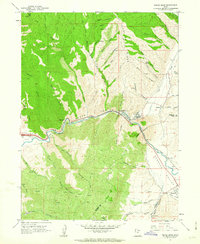 1961 Devils Slide1963 Print · USGSThe Weber River corridor in the early 1960s shows a landscape of heavy industry and pioneer history. Trace the Donner Party Route as it moves through Henefer Valley past the Cement Plant and Devils Slide Mine.2 unique versions available
 - 1961 Map of Morgan, 1963 Print
 1961 Morgan1963 Print · USGSThe Weber River valley in the early sixties was a critical junction of rail industry and mountain agriculture. Local historians can trace the industrial footprint of the Cement Plant near Devils Slide and find vanished rural landmarks like the Monastery and Como Springs.2 unique versions available
 - 1964 Map of Henefer, 1966 Print
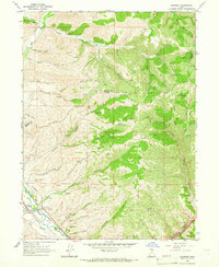 1964 Henefer1966 Print · USGSThe Henefer Valley in the mid-1960s is shown as a critical mountain transit point along the Weber River. Researchers can trace the Union Pacific rail line, locate the Pioneer Monument, and identify old Claypit workings and the settlement of China Town.2 unique versions available
 - 1967 Map of Coalville, 1970 Print
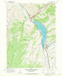 1967 Coalville1970 Print · USGSIn the 1960s, the Weber River valley was a landscape defined by the Union Pacific and the growing Echo Reservoir. Genealogists can trace family landmarks like Tom Harris Hollow or locate the North Summit HS and Cem in Coalville.
 - 1980 Map of Salt Lake City
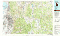 1980 Salt Lake City1980 Print · USGSSalt Lake City and the surrounding Wasatch Range are shown in the early eighties during a period of rapid suburban growth. Genealogists and historians can trace old mining operations like the Ontario Mine and Wasatch Mine or follow the path of the Union Pacific through the canyons.3 unique versions available
 - 1986 Map of Ogden, 1987 Print
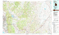 1986 Ogden1987 Print · USGSThe Wasatch Front was undergoing significant development in the mid-eighties as the urban corridor stretched from Ogden toward the Great Salt Lake. Researchers can trace the legacy of regional transport and defense via Hill Air Force Base, the Union Pacific line, and mountain passes near Snow Basin.
 - 1991 Map of Henefer
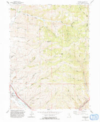 1991 Henefer1991 Print · USGSHenefer and its surrounding river valley are captured in the early nineties, showing a landscape defined by the Weber River and the rugged canyons of Summit County. Local historians can locate the Pioneer Monument, numerous claypits, and remote points like China Town and Windy Knoll.
 - 1991 Map of Devils Slide
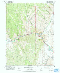 1991 Devils Slide1991 Print · USGSUpper Weber Canyon and Henefer Valley appear in the early 1990s as a vital transportation and industrial corridor. Local researchers can trace the Mormon Pioneers route alongside the Union Pacific and landmarks like the Devils Slide and the Cement Plant.
 - 1997 Map of Devils Slide, 2001 Print
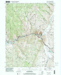 1997 Devils Slide2001 Print · USGSThe Morgan and Summit county border area in the late nineties shows a landscape of industrial limestone extraction and river-corridor settlement. Genealogists and local historians can trace the Mormon Pioneers route or locate landmarks in Henefer and Croydon.
 - 1997 Map of Coalville, 2001 Print
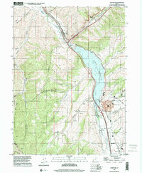 1997 Coalville2001 Print · USGSThe Weber River valley in the late nineties shows a landscape defined by water management and transit. Trace the shoreline of Echo Reservoir and locate historic markers in Coalville, from the Rodeo Grounds to the Cem.
 - 1997 Map of Henefer, 2001 Print
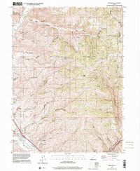 1997 Henefer2001 Print · USGSThe Morgan and Summit county lines meet near the settlement of Henefer in the late 1990s as the river valley supports both ranching and industry. Trace the local landscape through the Pioneer Monument, old Claypits, and the remote northern canyon at China Town.
 - 2010 Map of Henefer, 2010 Print
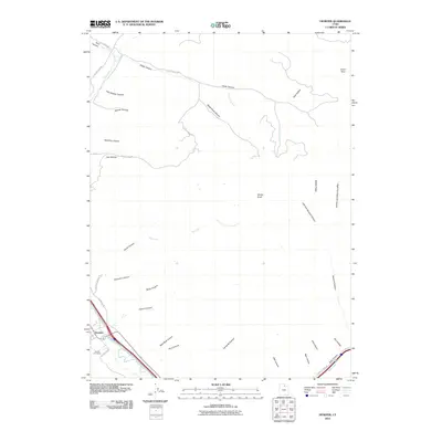 2010 Henefer2010 Print · USGSThe Weber River valley in the early 21st century remains centered on the town of Henefer, where agricultural roots meet a landscape of named canyons. Genealogists and local historians can trace family sites near Henefer Cemetery or explore the drainage networks of Black Hawk Canyon and China Town.
 - 2011 Map of Devils Slide, 2011 Print
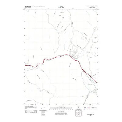 2011 Devils Slide2011 Print · USGSThe Weber River corridor in Summit County is shown here in the early twenty-first century, tracing the narrow valley floor between steep canyons. Researchers can locate the Croydon Cemetery and the famous Devils Slide formation, along with the settlements of Henefer and Croydon.
 - 2011 Map of Coalville, 2011 Print
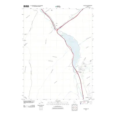 2011 Coalville2011 Print · USGSThe river valleys and canyons of Summit County come into focus in this early twenty-first-century survey of Coalville and Echo. Genealogists and local historians can locate the Coalville Cemetery, Echo Cemetery, and landmarks like the Coalville Post Office.
 - 2014 Map of Devils Slide, 2014 Print
 2014 Devils Slide2014 Print · USGSThe Weber River corridor in northern Utah is shown here in the early twenty-first century, as it winds through the mountains between Summit and Morgan counties. Researchers can locate the Croydon Cemetery, trace water sources like Oak Spring, and identify local landmarks from Devils Slide to Taggarts.
 - 2014 Map of Henefer, 2014 Print
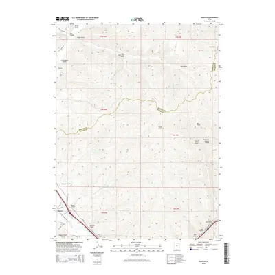 2014 Henefer2014 Print · USGSHenefer sits at a historic crossroads in the northern Wasatch Range during the early twenty-first century. Researchers can trace the layout of the town along the Weber River, locating the Henefer Cem and naming canyons like Black Hawk Canyon.
Showing maps 1-25 of 35
Top cities near Henefer
Frequently asked questions
- What are the different types of historical maps available for Henefer?
- What is the oldest map of Henefer?
- Where can I purchase historical maps of Henefer for my home or office?
- Where can I download high-res historical maps of Henefer?
- Are there historical topographic maps available for Henefer?
- Is there historical aerial imagery available for Henefer?
- Where are historical maps of Henefer sourced from?