2000s (21st Century) Maps of Henefer, Utah
Explore 15 historic maps of Henefer from the 2000s (21st Century). These maps offer a rare glimpse into what life looked like during the 2000s — showing old roads, neighborhoods, homes, and landmarks that have changed or disappeared over time.
Whether you're researching your family's past, planning a metal detecting trip, or studying how Henefer's landscape evolved across the 2000s, these high-resolution maps are a powerful tool for exploring the history of this region.
- Focus on a specific era: All maps on this page are from the 2000s, giving you a focused view of this time period.
- See what’s changed: Compare century-old streets, trails, and buildings to today's modern landscape using overlays and satellite layers.
- Research with precision: Use these maps for genealogy, historical research, land use analysis, or educational projects.
- View, download, or print: Maps are fully viewable online in high resolution, and can be downloaded or printed for your own records.
Start exploring Henefer's history through authentic maps from the 2000s. This is your window into the past.
Henefer, UT maps
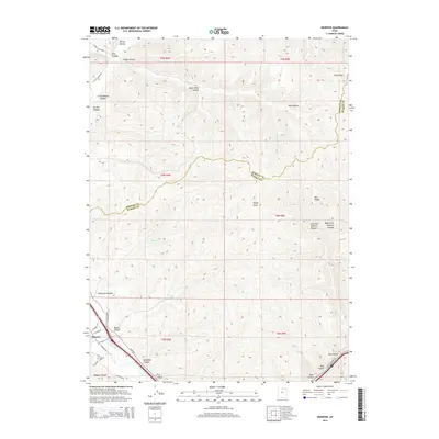
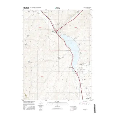
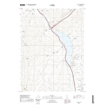
(15)- 2010 Map of Henefer, 2010 Print
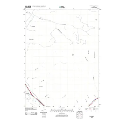 2010 Henefer2010 Print · USGSCovers Henefer, including Summit County, Morgan County, and other nearby areas
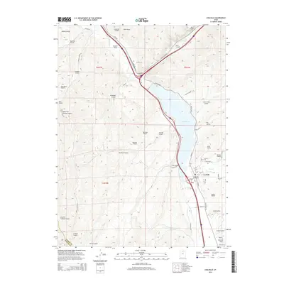
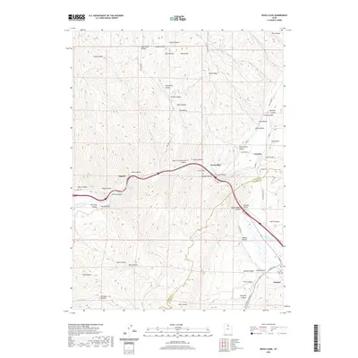
 - 2011 Map of Devils Slide, 2011 Print
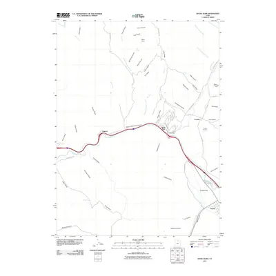 2011 Devils Slide2011 Print · USGSCovers Henefer, including Croydon, Summit County, and other nearby areas
 - 2011 Map of Coalville, 2011 Print
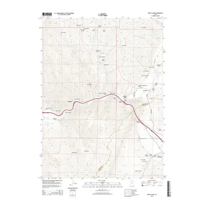
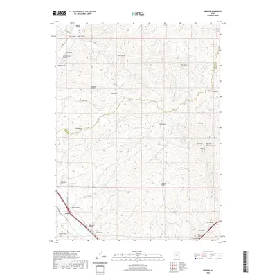
 2011 Coalville2011 Print · USGSCovers Henefer, including Coalville, Echo Resort, and other nearby areas
 - 2014 Map of Devils Slide, 2014 Print
 2014 Devils Slide2014 Print · USGSCovers Henefer, including Croydon, Summit County, and other nearby areas
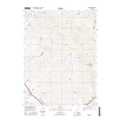
 - 2014 Map of Henefer, 2014 Print
 2014 Henefer2014 Print · USGSCovers Henefer, including Summit County, Morgan County, and other nearby areas
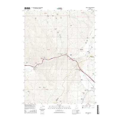
 - 2014 Map of Coalville, 2014 Print
 2014 Coalville2014 Print · USGSCovers Henefer, including Coalville, Echo Resort, and other nearby areas
 - 2017 Map of Henefer, 2017 Print
 2017 Henefer2017 Print · USGSCovers Henefer, including Summit County, Morgan County, and other nearby areas
 - 2017 Map of Devils Slide, 2017 Print
 2017 Devils Slide2017 Print · USGSCovers Henefer, including Croydon, Summit County, and other nearby areas
 - 2017 Map of Coalville, 2017 Print
 2017 Coalville2017 Print · USGSCovers Henefer, including Coalville, Echo Resort, and other nearby areas
 - 2020 Map of Devils Slide, 2020 Print
 2020 Devils Slide2020 Print · USGSCovers Henefer, including Croydon, Summit County, and other nearby areas
 - 2020 Map of Henefer, 2020 Print
 2020 Henefer2020 Print · USGSCovers Henefer, including Summit County, Morgan County, and other nearby areas
 - 2020 Map of Coalville, 2020 Print
 2020 Coalville2020 Print · USGSCovers Henefer, including Coalville, Echo Resort, and other nearby areas
 - 2023 Map of Coalville, 2023 Print
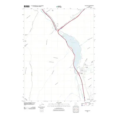
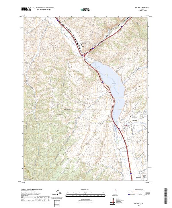 2023 Coalville2023 Print · USGSThe Weber River valley and its surrounding foothills are captured here in a period of modern preservation. Researchers can trace the heritage of local settlements through the Echo Historical Cem or locate the Hoytsville Airport and the Rail Trl.
 - 2023 Map of Devils Slide, 2023 Print
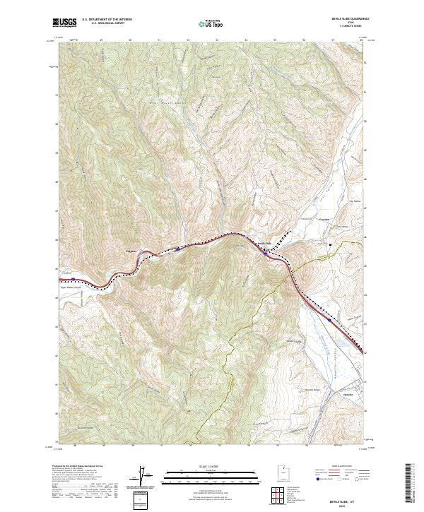 2023 Devils Slide2023 Print · USGSMorgan and Summit Counties are captured in this modern survey as the Weber River cuts through the high country. Historians can trace the Rte Of Donner Reed Party and find local landmarks like Croydon Cem and the iconic Devils Slide.
 - 2023 Map of Henefer, 2023 Print
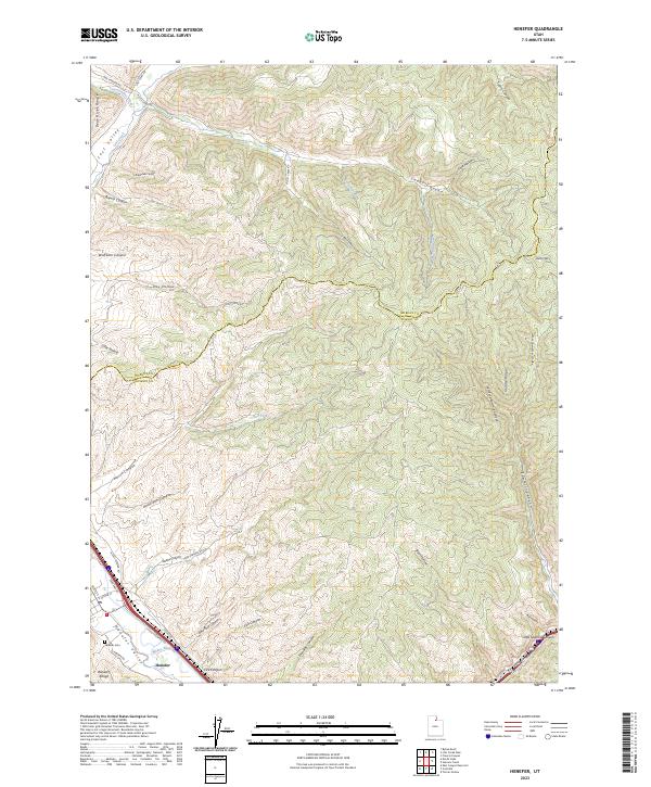 2023 Henefer2023 Print · USGSHenefer sits at a vital mountain crossroads during the early twenty-first century, where the Weber River cuts through the high ridges. Genealogists and local historians can trace family locations near the Henefer Cem or follow old routes through Henefer Valley and Lost Valley.
End of results
Showing maps 1-15 of 15
Top cities near Henefer
Frequently asked questions
- What are the different types of historical maps available for Henefer?
- What is the oldest map of Henefer?
- Where can I purchase historical maps of Henefer for my home or office?
- Where can I download high-res historical maps of Henefer?
- Are there historical topographic maps available for Henefer?
- Is there historical aerial imagery available for Henefer?
- Where are historical maps of Henefer sourced from?