Old Maps of Skull Valley, Utah for Metal Detecting
Plan your next treasure hunt with 12 historic maps of Skull Valley. Find old homesites, ghost towns, trails, and gathering spots that may be lost to time — perfect for identifying promising metal detecting locations.
- Locate forgotten sites: Uncover places like long-lost settlements, abandoned rail lines, or gathering spots.
- Plan better hunts: Use map overlays combined with LiDAR or satellite views to narrow in on historically rich areas.
- Made for detectorists: Thousands of hobbyists use these maps to discover relics, coins, and hidden history.
Use these historic maps to boost your research and find new opportunities beneath the surface of Skull Valley.
Skull Valley, UT maps
(12)- 1885 Map of Tooele Valley
 1885 Tooele Valley1885 Print · USGSThe valleys and ranges west of the Wasatch are captured here in the mid-1880s, showcasing the early mining and rail infrastructure of the region. Genealogists can trace early settlements like Grantsville, Ophir, and Stockton, or the route of the Utah and Nevada R. R.6 unique versions available
 - 1953 Map of Tooele, 1968 Print
 1953 Tooele1968 Print · USGSTooele County is shown here in the 1950s, a vast landscape transitioning between the industrial growth of the Salt Lake Valley and isolated military testing grounds. Researchers can trace the routes of the Western Pacific railroad and locate historic outposts like Iosepa Ranch and St John Station.3 unique versions available
 - 1955 Map of Deseret Peak, 1957 Print
 1955 Deseret Peak1957 Print · USGSSkull Valley and the Stansbury Mountains appear here in the mid-fifties, showing the high-altitude mines and valley ranching hubs of Tooele County. Researchers can locate remote operations like Silver Drum Mine and family holdings including Island Ranch and Condie Ranch.2 unique versions available
 - 1955 Map of Tooele, 1958 Print
 1955 Tooele1958 Print · USGSTooele County and the Great Salt Lake are captured here during the mid-fifties, an era of burgeoning military testing and industrial mining. Researchers can trace the rail sidings at Salduro Station, the grounds of the Deseret Chemical Corps Depot, and the International Smelting Co facilities.3 unique versions available
 - 1979 Map of Rush Valley
 1979 Rush Valley1979 Print · USGSTooele and Utah Counties during the late seventies reveal a unique transition from historic mining and ranching to modern military operations. Researchers can trace the Union Pacific Railroad past historic sites like Fairfield and mining camps such as Ophir.2 unique versions available
 - 1985 Map of Deseret Peak West
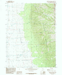 1985 Deseret Peak West1985 Print · USGSTooele County in the mid-1980s reveals the striking boundary between tribal lands and the high wilderness of the Stansbury Mountains. Trace the rugged topography from the floor of Skull Valley up to Deseret Peak and the alpine South Willow Lake.
 - 1998 Map of Deseret Peak West, 2001 Print
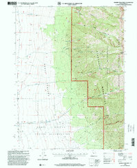 1998 Deseret Peak West2001 Print · USGSSkull Valley and the Stansbury Mountains appear here in the late 1990s as the area balanced tribal lands with national forest wilderness. Researchers can locate the Skull Valley Indian Reservation and a local Cem near the foot of Hickman Canyon.
 - 2011 Map of Deseret Peak West, 2011 Print
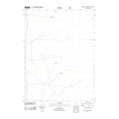 2011 Deseret Peak West2011 Print · USGSSkull Valley ranching and the high alpine terrain of the Stansbury Mountains are captured here in the early twenty-first century. Researchers can trace local landholdings at Deseret Ranch or follow the drainages of Antelope Canyon and Dry Canyon.
 - 2014 Map of Deseret Peak West, 2014 Print
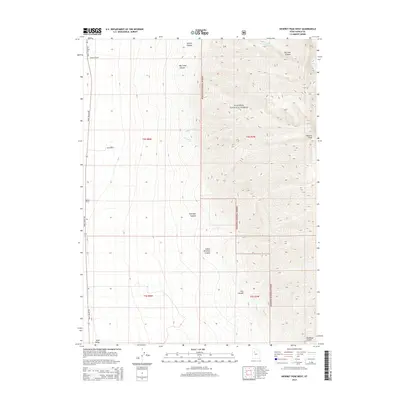 2014 Deseret Peak West2014 Print · USGSSkull Valley and the Stansbury Mountains come into focus in the early 21st century, showing where high-desert ranching meets the forest. Genealogists and historians can trace family land at Deseret Ranch or locate landmarks like Deseret Peak and S Willow Lake.
 - 2017 Map of Deseret Peak West, 2017 Print
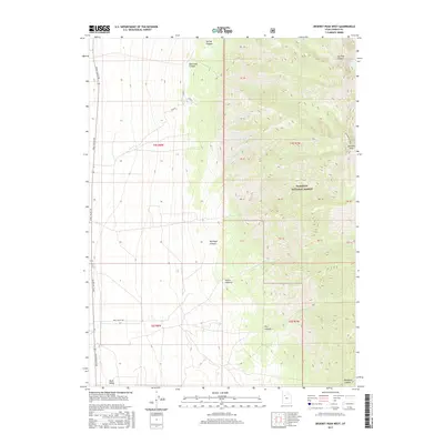 2017 Deseret Peak West2017 Print · USGSThe high Stansbury Mountains and the edge of the West Desert meet in this 2017 study of Tooele County. Hikers and historians can trace the steep drainages of Big Pole Canyon and Antelope Canyon or locate the remote waters of S Willow Lake.
 - 2020 Map of Deseret Peak West, 2020 Print
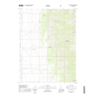 2020 Deseret Peak West2020 Print · USGSSkull Valley and the Stansbury Mountains appear here in the early twenty-first century, showcasing the dramatic elevation change between the desert floor and Wasatch National Forest. Researchers can trace the rugged eastern drainages of Indian Hickman Canyon and Antelope Canyon or locate the remote South Willow Lake.
 - 2023 Map of Deseret Peak West, 2023 Print
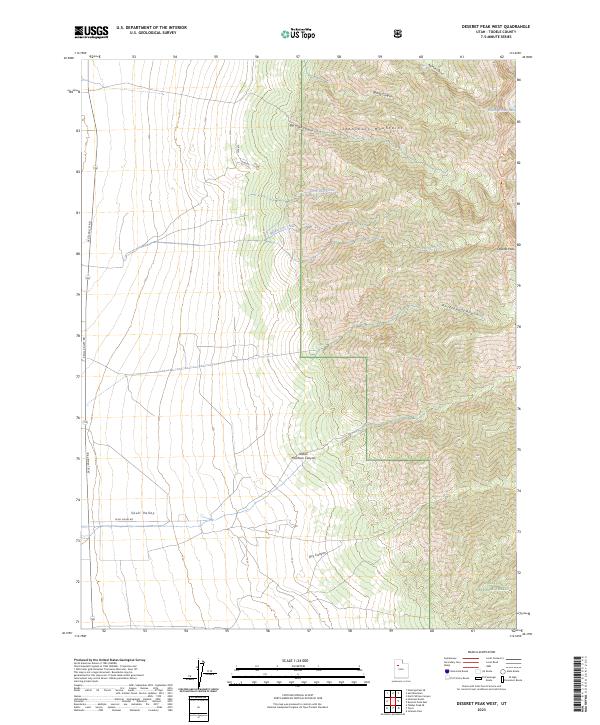 2023 Deseret Peak West2023 Print · USGSTooele County’s high-desert terrain meets the peaks of the Stansbury Range in this modern topographic study. Researchers can trace the water sources and trail access points around Deseret Peak, South Willow Lake, and Dry Canyon.
End of results
Showing maps 1-12 of 12
Top cities near Skull Valley
Frequently asked questions
- What are the different types of historical maps available for Skull Valley?
- What is the oldest map of Skull Valley?
- Where can I purchase historical maps of Skull Valley for my home or office?
- Where can I download high-res historical maps of Skull Valley?
- Are there historical topographic maps available for Skull Valley?
- Is there historical aerial imagery available for Skull Valley?
- Where are historical maps of Skull Valley sourced from?