2000s (21st Century) Maps of Washington County, Utah
Explore 94 historic maps of Washington County from the 2000s (21st Century). These maps offer a rare glimpse into what life looked like during the 2000s — showing old roads, neighborhoods, homes, and landmarks that have changed or disappeared over time.
Whether you're researching your family's past, planning a metal detecting trip, or studying how Washington County's landscape evolved across the 2000s, these high-resolution maps are a powerful tool for exploring the history of this region.
- Focus on a specific era: All maps on this page are from the 2000s, giving you a focused view of this time period.
- See what’s changed: Compare century-old streets, trails, and buildings to today's modern landscape using overlays and satellite layers.
- Research with precision: Use these maps for genealogy, historical research, land use analysis, or educational projects.
- View, download, or print: Maps are fully viewable online in high resolution, and can be downloaded or printed for your own records.
Start exploring Washington County's history through authentic maps from the 2000s. This is your window into the past.
Washington County, UT maps
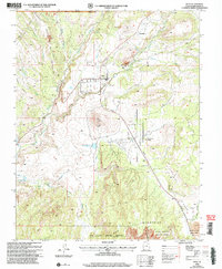
(94)- 2002 Map of Goldstrike, 2005 Print
 2002 Goldstrike2005 Print · USGSSouthwestern Utah's mining history is preserved here at the turn of the millennium, centered on the rugged Pine Valley foothills. Researchers can trace historic extraction sites like the Emma Mine and Bull Run Mine or locate water sources such as Sheep Corral Spring and Potosi Spring.
 - 2002 Map of Gunlock, 2005 Print
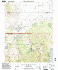
 2002 Gunlock2005 Print · USGSGunlock and the Santa Clara River valley appear in the early 2000s as a landscape defined by water management and mineral prospecting. Researchers can trace the local Cem, locate the Power Plant, and explore the rugged reaches of Miners Canyon and Arsenic Gulch.
 - 2002 Map of Pintura, 2005 Print
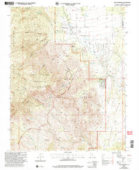
 2002 Pintura2005 Print · USGSWashington County at the turn of the millennium shows the intersection of deep mining history and modern infrastructure. Researchers can trace the layout of Silver Reef (Site) or locate landmarks like Toquerville Springs and the Hurricane Cliffs.
 - 2002 Map of Pinto, 2005 Print
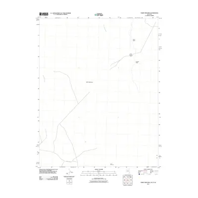
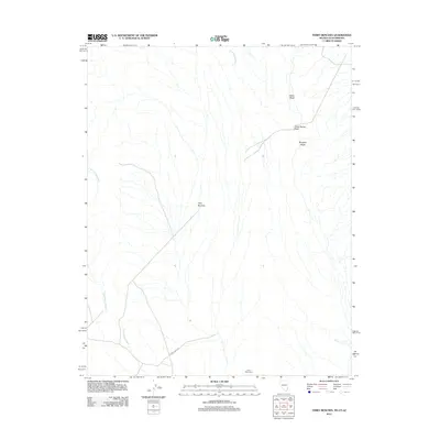
 2002 Pinto2005 Print · USGSThe high country of the Dixie National Forest at the turn of the millennium reveals a landscape of isolated springs and historic burial sites. Researchers can locate the Hamblin Cem and trace the paths of Pinto Creek and Little Grassy Creek across the county line.
 - 2002 Map of Saddle Mountain, 2005 Print
 2002 Saddle Mountain2005 Print · USGSThe Pine Valley Mountains in Washington County are captured here at the turn of the century, showing a landscape defined by protected wilderness and ranching history. Researchers can trace the Indian Hollow Spring Trail, find Diamond Valley Ranch, and locate remote water sources like Lone Pine Reservoir.
 - 2002 Map of Pine Park, 2005 Print
 2002 Pine Park2005 Print · USGSThe Utah and Nevada borderlands come into focus at the turn of the millennium, showing a landscape defined by state park boundaries and forest reserves. Local historians can trace cattle-era landmarks like Hamblin Ranch and crucial desert water sources such as Pine Park Spring and Schroeder Lake.
 - 2002 Map of Veyo, 2005 Print
 2002 Veyo2005 Print · USGSThe Veyo area at the turn of the millennium shows a fascinating mix of volcanic geography and modern water infrastructure. Researchers can trace the development of Dammeron Valley and Brookside or locate landmarks like the Veyo Volcano and local Cem.
 - 2002 Map of Webster Flat, 2005 Print
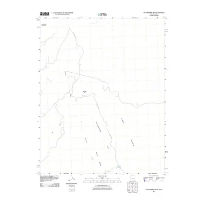
 2002 Webster Flat2005 Print · USGSThe high-plateau country of Iron County is mapped here at the start of the millennium, showing a landscape of deep canyons and prominent overlooks. Genealogists and hikers can trace family-named landmarks like Sherratt Point, Walts Flat, and Miners Peak across the Dixie National Forest.
 - 2002 Map of Page Ranch, 2005 Print
 2002 Page Ranch2005 Print · USGSSouthern Utah's iron-rich highlands are documented here at the turn of the millennium, showing a landscape defined by mining and early pioneer settlement. Researchers can locate the Old Irontown (Historic Site), trace the Rock Spring Trail, and identify the locations of the Columbia Steel Mine and Page Ranch.
 - 2002 Map of Central East, 2005 Print
 2002 Central East2005 Print · USGSThe community of Pine Valley sits at the heart of the Dixie National Forest during the early two-thousands. Researchers can locate specific sites like the Pine Valley Chapel, the local Cem, and old resource sites such as the Cinder Pit.
 - 2002 Map of Signal Peak, 2005 Print
 2002 Signal Peak2005 Print · USGSHigh in the Pine Valley Mountains during the early 2000s, this survey documents the rugged backcountry of the Dixie National Forest. Trace family-named landmarks like Danish Ranch and remote springs such as Ash Grove Spring.
 - 2002 Map of Maple Ridge, 2005 Print
 2002 Maple Ridge2005 Print · USGSHigh mountain ridges in Washington County define this landscape at the turn of the millennium. Local researchers can trace old routes along Veyo Shoal Creek Road or locate landmarks like The Pinnacles and Grassy Flat among the canyon washes.
 - 2002 Map of Enterprise, 2005 Print
 2002 Enterprise2005 Print · USGSEnterprise and the Escalante Valley are documented here in the early 2000s, showing the intersection of desert agriculture and high-country forest. Researchers can trace local heritage through landmarks like Winsor Mem Cem, Holt Cem, and the Enterprise High School.
 - 2002 Map of New Harmony, 2005 Print
 2002 New Harmony2005 Print · USGSNew Harmony and the eastern slopes of the Pine Valley Mountains are documented in this early 2000s survey of the Dixie National Forest. Genealogists and researchers can locate the Cem, trace the Valley Trail, and identify landmarks like Mount Baldy and Comanche Spring.2 unique versions available
 - 2002 Map of Grass Valley, 2005 Print
 2002 Grass Valley2005 Print · USGSThe high country of Washington County is captured here at the start of the twenty-first century, centered on the Dixie National Forest. Researchers can trace old family holdings like Rencher Ranch and Gardner Ranch or locate established landmarks such as the Pine Valley Reservoir.
 - 2002 Map of Hebron, 2005 Print
 2002 Hebron2005 Print · USGSThe area surrounding Hebron and the Dixie National Forest is shown here as it appeared at the turn of the millennium. Researchers can trace the layout of the Hebron Cem and examine the critical water systems of Lower Enterprise Reservoir and Upper Enterprise Reservoir.
 - 2002 Map of Central West, 2005 Print
 2002 Central West2005 Print · USGSThe high meadows and desert canyons of Washington County are captured here at the start of the millennium. Local researchers can locate the Mountain Meadow (Historical Monument), the settlement at Central, and the waters of Baker Dam Res.
 - 2002 Map of Water Canyon, 2005 Print
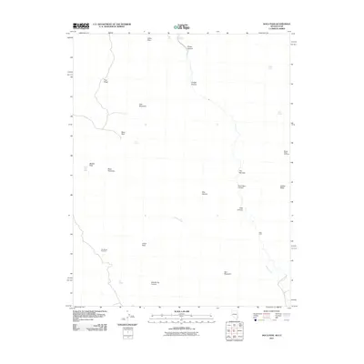
 2002 Water Canyon2005 Print · USGSSouthern Utah's high country is captured here during the early 2000s, showing the intersection of Iron and Washington counties. Researchers can locate remote livestock landmarks like Rock Hole Corral and scattered backcountry water sources including Corral Dads Spring and Nephi Spring.
 - 2011 Map of Lizard Point, 2011 Print
 2011 Lizard Point2011 Print · USGSCovers Washington County, including St. George, Mohave County, and other nearby areas2 unique versions available
 - 2011 Map of Littlefield, 2011 Print
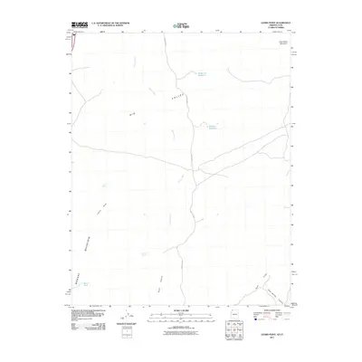
 2011 Littlefield2011 Print · USGSCovers Washington County, including Desert Springs, Beaver Dam, and other nearby areas2 unique versions available
 - 2011 Map of Yellowhorse Flat, 2011 Print
 2011 Yellowhorse Flat2011 Print · USGSCovers Washington County, including St. George, Mohave County, and other nearby areas2 unique versions available
 - 2011 Map of Purgatory Canyon, 2011 Print
 2011 Purgatory Canyon2011 Print · USGSCovers Washington County, including Mohave County, United States, and other nearby areas2 unique versions available
 - 2011 Map of Docs Pass, 2011 Print
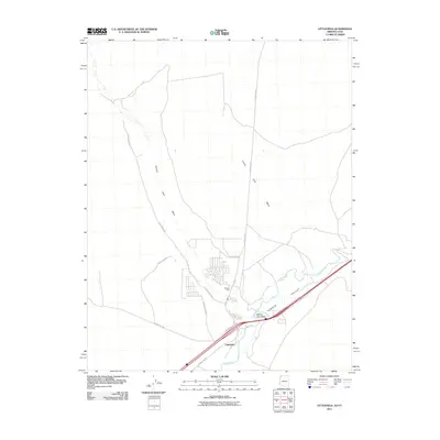
 2011 Docs Pass2011 Print · USGSCovers Washington County, including Lincoln County, United States, and other nearby areas
 - 2011 Map of Terry Benches, 2011 Print
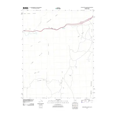
 2011 Terry Benches2011 Print · USGSCovers Washington County, including Lincoln County, United States, and other nearby areas
 - 2012 Map of Terry Benches, 2012 Print
 2012 Terry Benches2012 Print · USGSCovers Washington County, including Lincoln County, United States, and other nearby areas
Showing maps 1-25 of 94
Top cities of Washington County
- St. George historical maps
- Washington historical maps
- Hurricane historical maps
- Ivins historical maps
- Santa Clara historical maps
- La Verkin historical maps
See more
Frequently asked questions
- What are the different types of historical maps available for Washington County?
- What is the oldest map of Washington County?
- Where can I purchase historical maps of Washington County for my home or office?
- Where can I download high-res historical maps of Washington County?
- Are there historical topographic maps available for Washington County?
- Is there historical aerial imagery available for Washington County?
- Where are historical maps of Washington County sourced from?