2020s Maps of Washington County, Utah
Explore 100 historic maps of Washington County from the 2020s. These maps offer a rare glimpse into what life looked like during the 2020s — showing old roads, neighborhoods, homes, and landmarks that have changed or disappeared over time.
Whether you're researching your family's past, planning a metal detecting trip, or studying how Washington County's landscape evolved across the 2020s, these high-resolution maps are a powerful tool for exploring the history of this region.
- Focus on a specific era: All maps on this page are from the 2020s, giving you a focused view of this time period.
- See what’s changed: Compare century-old streets, trails, and buildings to today's modern landscape using overlays and satellite layers.
- Research with precision: Use these maps for genealogy, historical research, land use analysis, or educational projects.
- View, download, or print: Maps are fully viewable online in high resolution, and can be downloaded or printed for your own records.
Start exploring Washington County's history through authentic maps from the 2020s. This is your window into the past.
Washington County, UT maps
(100)- 2020 Map of Pine Park, 2020 Print
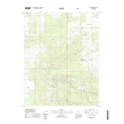 2020 Pine Park2020 Print · USGSThe Utah-Nevada borderlands are captured here in the early twenty-first century, showcasing the remote volcanic terrain of the Dixie National Forest. Trace backcountry routes like Beaver Dam Rd and locate vital water sources such as Pine Park Spring and Schroeder Lake.
 - 2020 Map of Dodge Spring, 2020 Print
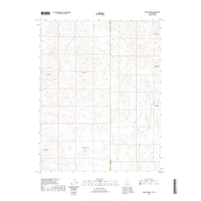 2020 Dodge Spring2020 Print · USGSThe high-desert borderlands of Washington County and Lincoln County are documented here in the early twenty-first century. Researchers can trace the drainage patterns of Horse Canyon or locate vital water sources like Dodge Spring and Bracken Pond near Motoqua.
 - 2020 Map of Scarecrow Peak, 2020 Print
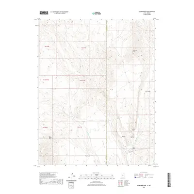 2020 Scarecrow Peak2020 Print · USGSThe Nevada and Utah borderlands come into focus in this recent survey of the high desert basin. Researchers can trace the rugged drainage patterns of Snow Spring Wash or locate the summit of Scarecrow Peak and the surrounding Terry Benches.
 - 2020 Map of Smith Mesa, 2020 Print
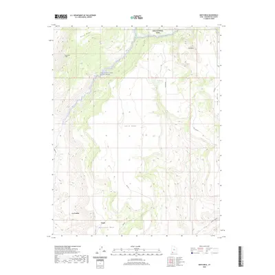 2020 Smith Mesa2020 Print · USGSThe high desert plateaus above La Verkin and Virgin are documented here in 2020, showing the transition into the red rock country. Trace the winding paths of Smith Mesa Rd across the flats and follow the Virgin Wild and Scenic River as it enters Zion National Park.
 - 2020 Map of Kolob Reservoir, 2020 Print
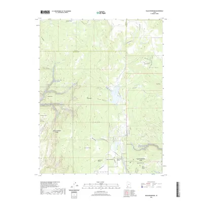 2020 Kolob Reservoir2020 Print · USGSWashington County high country appears in great detail during this modern survey, revealing the intersection of protected wilderness and ranching history. Researchers can locate the Kolob Mountain Cem or trace the canyons of the Virgin Wild and Scenic River near Lava Point.
 - 2020 Map of Page Ranch, 2020 Print
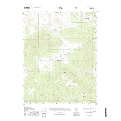 2020 Page Ranch2020 Print · USGSIron and Washington counties meet in this 2020 landscape, documenting the legacy of regional mining and ranching. Genealogists and local historians can locate early sites like Old Irontown and The Dairy or trace routes through the Harmony Mountains via the Summit Trail.
 - 2020 Map of Shivwits, 2020 Print
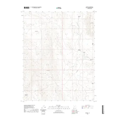 2020 Shivwits2020 Print · USGSSouthwestern Utah's high desert reveals its modern landscape and deep-seated landmarks in this 2020 study of Washington County. Local historians can trace the paths of W Old Highway 91 and explore the environs of Shivwits, Shem, and Pahcoon Spring.
 - 2020 Map of Hebron, 2020 Print
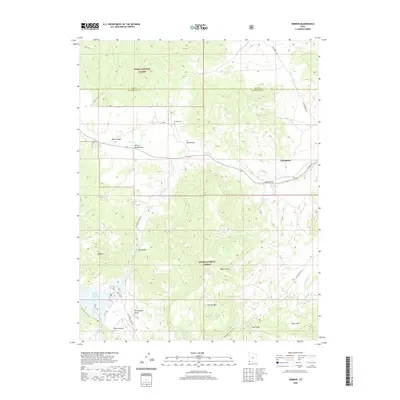 2020 Hebron2020 Print · USGSNear the Nevada border in the early twenty-first century, this area of Washington County shows the intersection of livestock ranching and forest lands. Genealogists and historians can locate the Hebron Cem and trace the paths through the Dixie National Forest and Honeycomb Rocks.
 - 2020 Map of Little Creek Mountain, 2020 Print
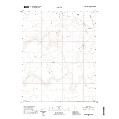 2020 Little Creek Mountain2020 Print · USGSApple Valley and the surrounding plateaus of Washington County are shown here in the early twenty-first century. Researchers can trace the modern development of Apple Valley alongside landforms like Gooseberry Mesa, Gray Knoll, and the Little Creek Mountain summit.
 - 2020 Map of Veyo, 2020 Print
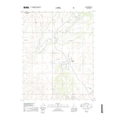 2020 Veyo2020 Print · USGSThe community of Veyo and the surrounding Washington County plateaus are mapped here in the early twenty-first century. Genealogists and hikers can trace the ranching routes and local landmarks such as Veyo Cem, Veyo Volcano, and Snow Canyon.
 - 2020 Map of Gunlock, 2020 Print
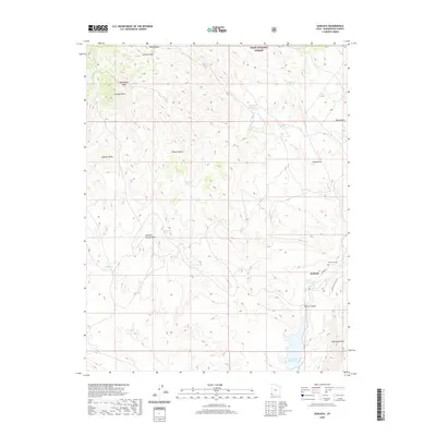 2020 Gunlock2020 Print · USGSGunlock and the Santa Clara River valley are captured in this modern survey of the Utah high desert. Researchers can locate the Gunlock Cem, trace the drainage of Arsenic Gulch, and identify numerous remote water sources like Rods Spring and Oak Patch Spring.
 - 2020 Map of Harrisburg Junction, 2020 Print
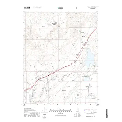 2020 Harrisburg Junction2020 Print · USGSWashington County at the start of the 2020s shows the continued growth of Washington and Hurricane around the crucial Quail Creek Reservoir. Researchers can find legacy sites like the Harrisburg Cem and geological landmarks such as Church Rocks and White Reef.
 - 2020 Map of Washington, 2020 Print
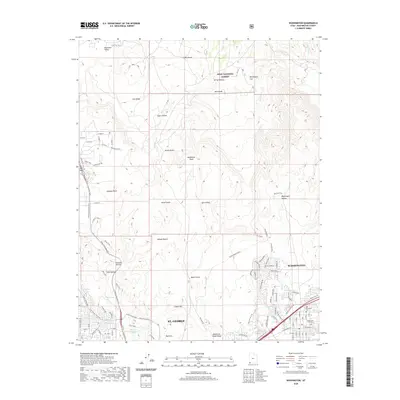 2020 Washington2020 Print · USGSSt. George and Washington are shown here in the early twenty-first century as they expand toward the Mojave Desert. Researchers can find burial sites like Old Alexander Cem, trace the Snow Canyon Bike Trail, and locate the waters of West Saint George Spring.
 - 2020 Map of Jarvis Peak, 2020 Print
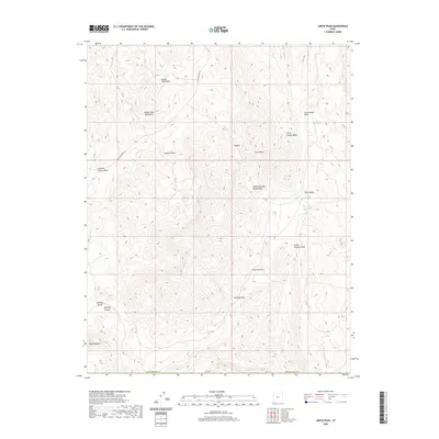 2020 Jarvis Peak2020 Print · USGSThe high desert at the Utah-Arizona border is captured here in recent years, showing the intersection of historic transportation and arid-land hydrology. Researchers can trace the path of W Old Highway 91 and locate landmarks like Bulldog Pass and Mine Valley.
 - 2020 Map of Washington Dome, 2020 Print
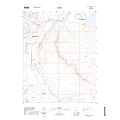 2020 Washington Dome2020 Print · USGSThe suburbs of Washington County were expanding rapidly during the 2020s, bridging the gap between old irrigated ranchlands and the red rock desert. You can trace the path of the Saint-George and Washington Canal and locate landmarks like Shinob Kibe and Beehive Dome.
 - 2020 Map of Enterprise, 2020 Print
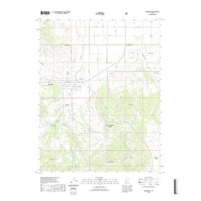 2020 Enterprise2020 Print · USGSEnterprise and the Escalante Valley are documented here in the early twenty-first century, showing a landscape defined by ranching and high-desert terrain. Genealogists and local historians can locate Winsor Memorial Cem, the Gary and Joyce Holt Reservoir, and the winding Shinbone Trail.
 - 2020 Map of Grass Valley, 2020 Print
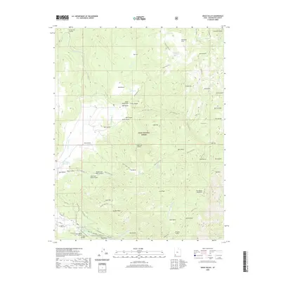 2020 Grass Valley2020 Print · USGSThe Pine Valley region of Washington County is shown here in the 2020s, highlighting its role as a high-country ranching and forest outpost. Researchers can trace the Canal Trail, locate the Old Pine Valley Cem, and identify old grazing sites like Sheep Pens.
 - 2020 Map of Santa Clara, 2020 Print
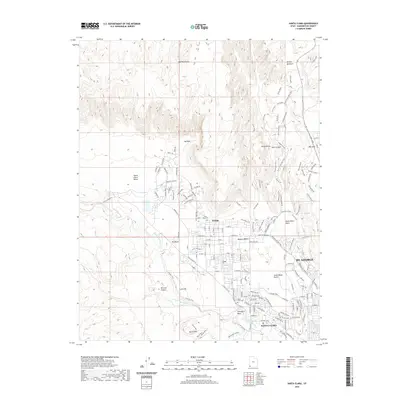 2020 Santa Clara2020 Print · USGSSanta Clara and the north edges of St. George are shown in the 2020s as modern growth meets the red rock wilderness. Researchers can trace local history at the Santa Clara Cem or explore the geography of Snow Canyon and Wittwer Canyon.
 - 2020 Map of West Mountain Peak, 2020 Print
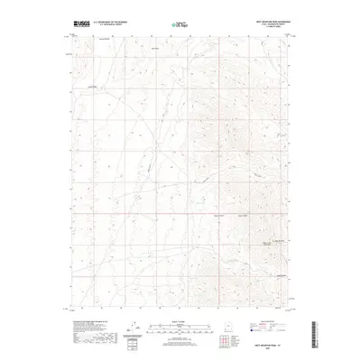 2020 West Mountain Peak2020 Print · USGSThe high-desert terrain of Washington County is captured here in the contemporary era, showcasing the meeting point of the Mojave Desert and the Beaver Dam Mountains. Researchers can locate vital water sources like Badger Spring and trace the deep path of Horse Canyon.
 - 2020 Map of Central West, 2020 Print
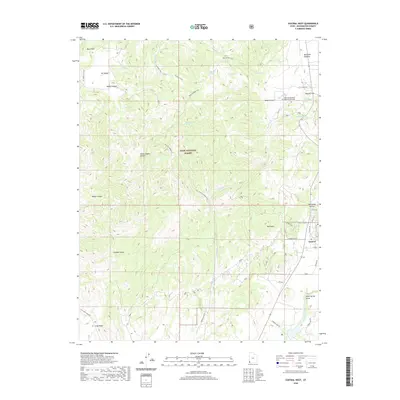 2020 Central West2020 Print · USGSWashington County at the start of the 2020s shows a landscape where high-desert terrain meets the quiet settlement of Central. Trace the complex system of trails and landmarks including the Mountain Meadows Massacre Memorial, Ox Valley, and the Santa Clara River.
 - 2020 Map of Kolob Arch, 2020 Print
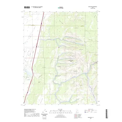 2020 Kolob Arch2020 Print · USGSWashington County at the start of the 2020s shows a landscape defined by protected wilderness and historical travel corridors. Hikers and historians can trace the Kolob Arch Trail past Shuntavi Butte or follow the route of Old Hwy 91 along the Hurricane Cliffs.
 - 2020 Map of Hurricane, 2020 Print
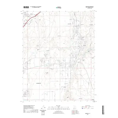 2020 Hurricane2020 Print · USGSSettlements along the Virgin River valley are shown in high detail during this recent period of growth in Washington County. Genealogists and researchers can locate several historic burial sites, such as the Silver Reef Catholic Cem, or trace landmarks like Mollies Nipple and Dixie Hot Springs.
 - 2020 Map of Maple Ridge, 2020 Print
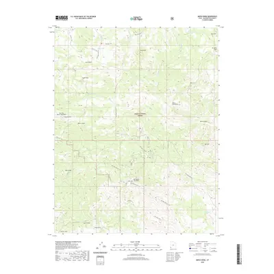 2020 Maple Ridge2020 Print · USGSThis southwestern Utah highland was surveyed in the contemporary era, showing the intersection of mountain terrain and forest management. Modern map collectors can trace the remote network of the Bull Valley Mtn Atv Trail and locate family-named landmarks like Doc Watson Spring.
 - 2020 Map of Pinto, 2020 Print
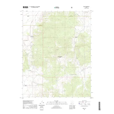 2020 Pinto2020 Print · USGSThe high-desert terrain of Washington County is captured here in the early twenty-first century, showing the intersection of pioneer history and public lands. Researchers can locate remote sites like Pinto Cem, the Death Valley Party Monument, and the legendary Spanish Trl.
 - 2020 Map of New Harmony, 2020 Print
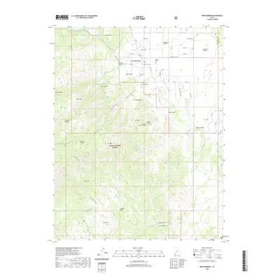 2020 New Harmony2020 Print · USGSNew Harmony and the surrounding valley appear in this recent survey, capturing the modern layout of this rural community at the edge of the Dixie National Forest. Local historians can locate specific family sites like the Lee Family Cem or trace the winding Anderson Valley Trail through the high country.
Showing maps 1-25 of 100
Top cities of Washington County
- St. George historical maps
- Washington historical maps
- Hurricane historical maps
- Ivins historical maps
- Santa Clara historical maps
- La Verkin historical maps
See more
Frequently asked questions
- What are the different types of historical maps available for Washington County?
- What is the oldest map of Washington County?
- Where can I purchase historical maps of Washington County for my home or office?
- Where can I download high-res historical maps of Washington County?
- Are there historical topographic maps available for Washington County?
- Is there historical aerial imagery available for Washington County?
- Where are historical maps of Washington County sourced from?