2000s (21st Century) Maps of Pine Valley, Utah
Explore 18 historic maps of Pine Valley from the 2000s (21st Century). These maps offer a rare glimpse into what life looked like during the 2000s — showing old roads, neighborhoods, homes, and landmarks that have changed or disappeared over time.
Whether you're researching your family's past, planning a metal detecting trip, or studying how Pine Valley's landscape evolved across the 2000s, these high-resolution maps are a powerful tool for exploring the history of this region.
- Focus on a specific era: All maps on this page are from the 2000s, giving you a focused view of this time period.
- See what’s changed: Compare century-old streets, trails, and buildings to today's modern landscape using overlays and satellite layers.
- Research with precision: Use these maps for genealogy, historical research, land use analysis, or educational projects.
- View, download, or print: Maps are fully viewable online in high resolution, and can be downloaded or printed for your own records.
Start exploring Pine Valley's history through authentic maps from the 2000s. This is your window into the past.
Pine Valley, UT maps
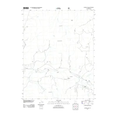
(18)- 2002 Map of Central East, 2005 Print
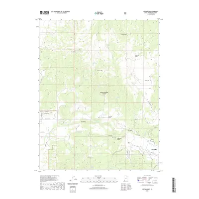
 2002 Central East2005 Print · USGSThe community of Pine Valley sits at the heart of the Dixie National Forest during the early two-thousands. Researchers can locate specific sites like the Pine Valley Chapel, the local Cem, and old resource sites such as the Cinder Pit.
 - 2002 Map of Signal Peak, 2005 Print
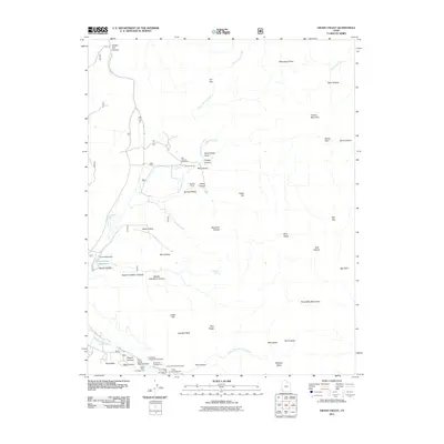
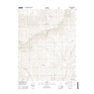
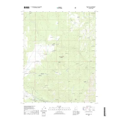
 2002 Signal Peak2005 Print · USGSHigh in the Pine Valley Mountains during the early 2000s, this survey documents the rugged backcountry of the Dixie National Forest. Trace family-named landmarks like Danish Ranch and remote springs such as Ash Grove Spring.
 - 2002 Map of Grass Valley, 2005 Print
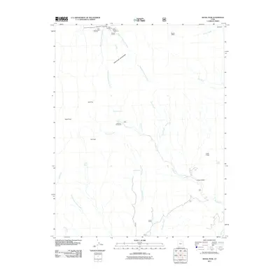
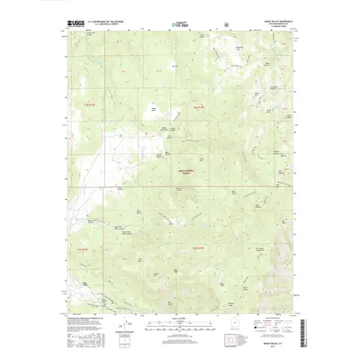
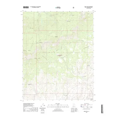
 2002 Grass Valley2005 Print · USGSThe high country of Washington County is captured here at the start of the twenty-first century, centered on the Dixie National Forest. Researchers can trace old family holdings like Rencher Ranch and Gardner Ranch or locate established landmarks such as the Pine Valley Reservoir.
 - 2011 Map of Central East, 2011 Print
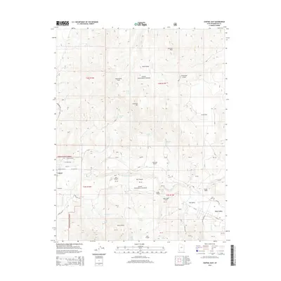
 2011 Central East2011 Print · USGSCovers Pine Valley, including Central, Washington County, and other nearby areas
 - 2011 Map of Grass Valley, 2011 Print
 2011 Grass Valley2011 Print · USGSCovers Pine Valley, including Washington County, United States, and other nearby areas
 - 2011 Map of Signal Peak, 2011 Print
 2011 Signal Peak2011 Print · USGSCovers Pine Valley, including Washington County, United States, and other nearby areas
 - 2014 Map of Grass Valley, 2014 Print
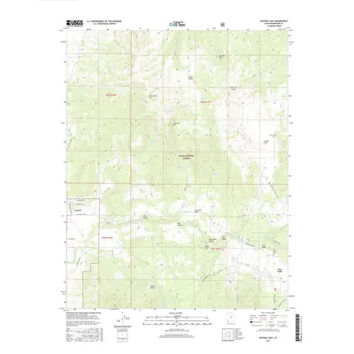
 2014 Grass Valley2014 Print · USGSCovers Pine Valley, including Washington County, United States, and other nearby areas
 - 2014 Map of Signal Peak, 2014 Print
 2014 Signal Peak2014 Print · USGSCovers Pine Valley, including Washington County, United States, and other nearby areas
 - 2014 Map of Central East, 2014 Print
 2014 Central East2014 Print · USGSCovers Pine Valley, including Central, Washington County, and other nearby areas
 - 2017 Map of Signal Peak, 2017 Print
 2017 Signal Peak2017 Print · USGSCovers Pine Valley, including Washington County, United States, and other nearby areas
 - 2017 Map of Central East, 2017 Print
 2017 Central East2017 Print · USGSCovers Pine Valley, including Central, Washington County, and other nearby areas
 - 2017 Map of Grass Valley, 2017 Print
 2017 Grass Valley2017 Print · USGSCovers Pine Valley, including Washington County, United States, and other nearby areas
 - 2020 Map of Grass Valley, 2020 Print
 2020 Grass Valley2020 Print · USGSCovers Pine Valley, including Washington County, United States, and other nearby areas
 - 2020 Map of Central East, 2020 Print
 2020 Central East2020 Print · USGSCovers Pine Valley, including Central, Washington County, and other nearby areas
 - 2020 Map of Signal Peak, 2020 Print
 2020 Signal Peak2020 Print · USGSCovers Pine Valley, including Washington County, United States, and other nearby areas
 - 2023 Map of Grass Valley, 2023 Print
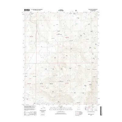
 2023 Grass Valley2023 Print · USGSThe high meadows and mountain canyons of Washington County are captured here in the early twenty-first century. Genealogists and hikers can trace the Old Pine Valley Cem and numerous routes like the Whipple Trl and Santa Clara River Trl.
 - 2023 Map of Signal Peak, 2023 Print
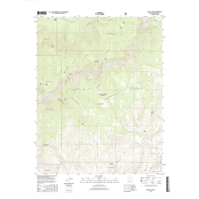
 2023 Signal Peak2023 Print · USGSThe Pine Valley Mountains are documented in high detail here during the 2020s, showing the high-altitude wilderness before recent climate shifts. Researchers can trace remote water sources like Columbine Spring and backcountry routes including the Summit Trl and Whipple Trl.
 - 2023 Map of Central East, 2023 Print
 2023 Central East2023 Print · USGSThe mountain settlements of southwestern Utah are captured here in the early twenty-first century, surrounded by the high elevations of the Dixie National Forest. Genealogists and local historians can locate the Central Cem and Pine Valley Cem or trace family landmarks across Grassy Flat and Horse Valley.
End of results
Showing maps 1-18 of 18
Top cities near Pine Valley
- St. George historical maps
- Washington historical maps
- Hurricane historical maps
- Ivins historical maps
- La Verkin historical maps
- Enterprise historical maps
See more
Frequently asked questions
- What are the different types of historical maps available for Pine Valley?
- What is the oldest map of Pine Valley?
- Where can I purchase historical maps of Pine Valley for my home or office?
- Where can I download high-res historical maps of Pine Valley?
- Are there historical topographic maps available for Pine Valley?
- Is there historical aerial imagery available for Pine Valley?
- Where are historical maps of Pine Valley sourced from?